© Visit Luxembourg
Müllerthal Germany France

Local hiking trail - F2

Starting point

Fischbach, parking Rue du Moulin

Destination

Fischbach, parking Rue du Moulin

Distance
8,21 km
Duration
2:30 h
Difficulty
medium
  • Condition
Highest point
395 Hm
Lowest point
297 Hm
Aggregated Ascent
169 Hm
Aggregated Descent
166 Hm
Circular routes Visit Luxembourg

Description

Kids & Family Scenic Refreshment stops available Dog-friendly

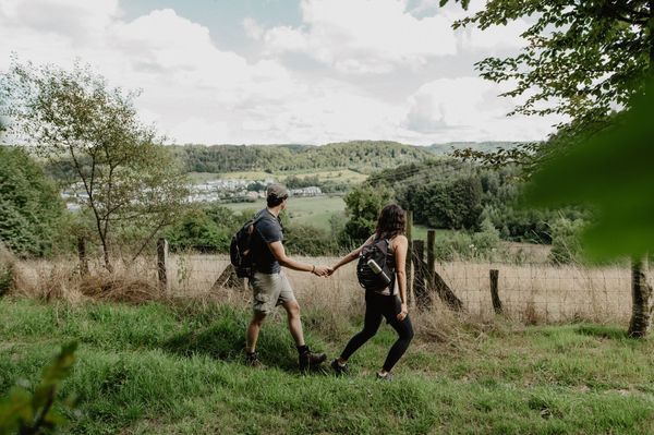
This local hiking trail connects the ponds of Fischbach with the Al Schmelz geotope.

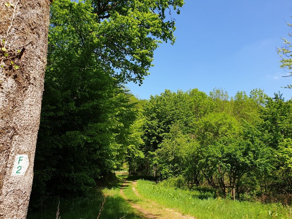
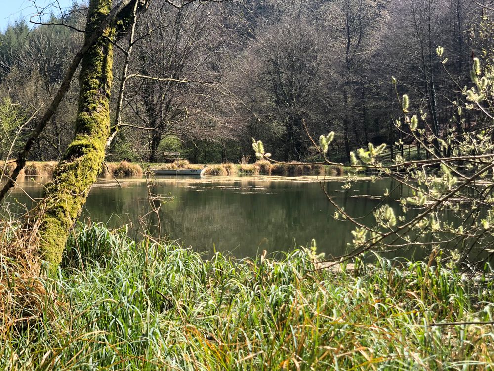
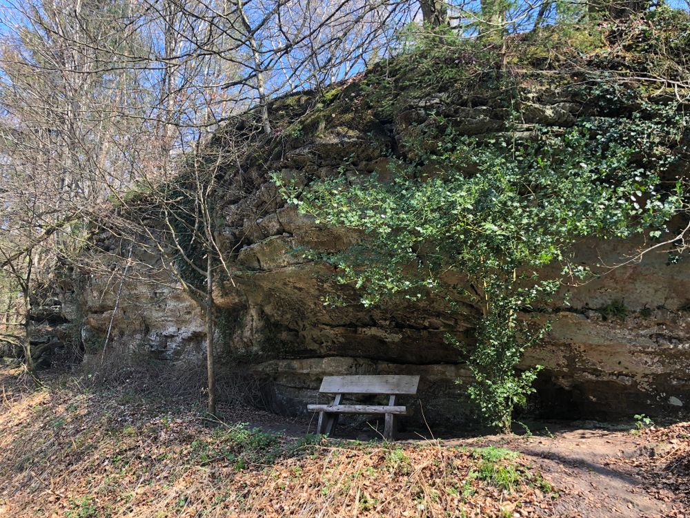
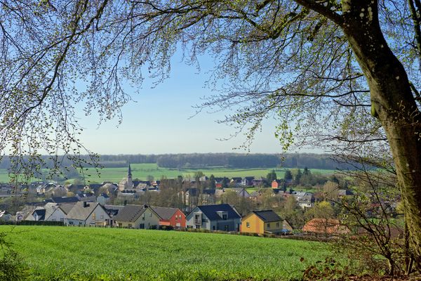
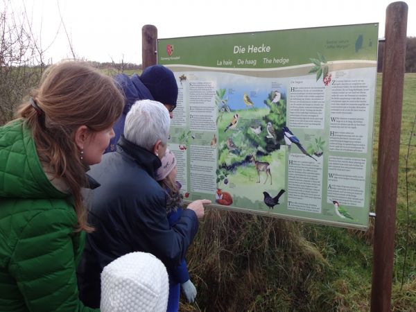
The trail first leads through the village of Fischbach. After a short climb, a viewpoint is reached, offering a fine view over the village. From there, the path continues past the Wasserhaff to the geotope Al Schmelz,  a pond and the only visible remains of Fischbach’s former smelteries. At this spot, a smelter worker explains what the site looked like in the past.

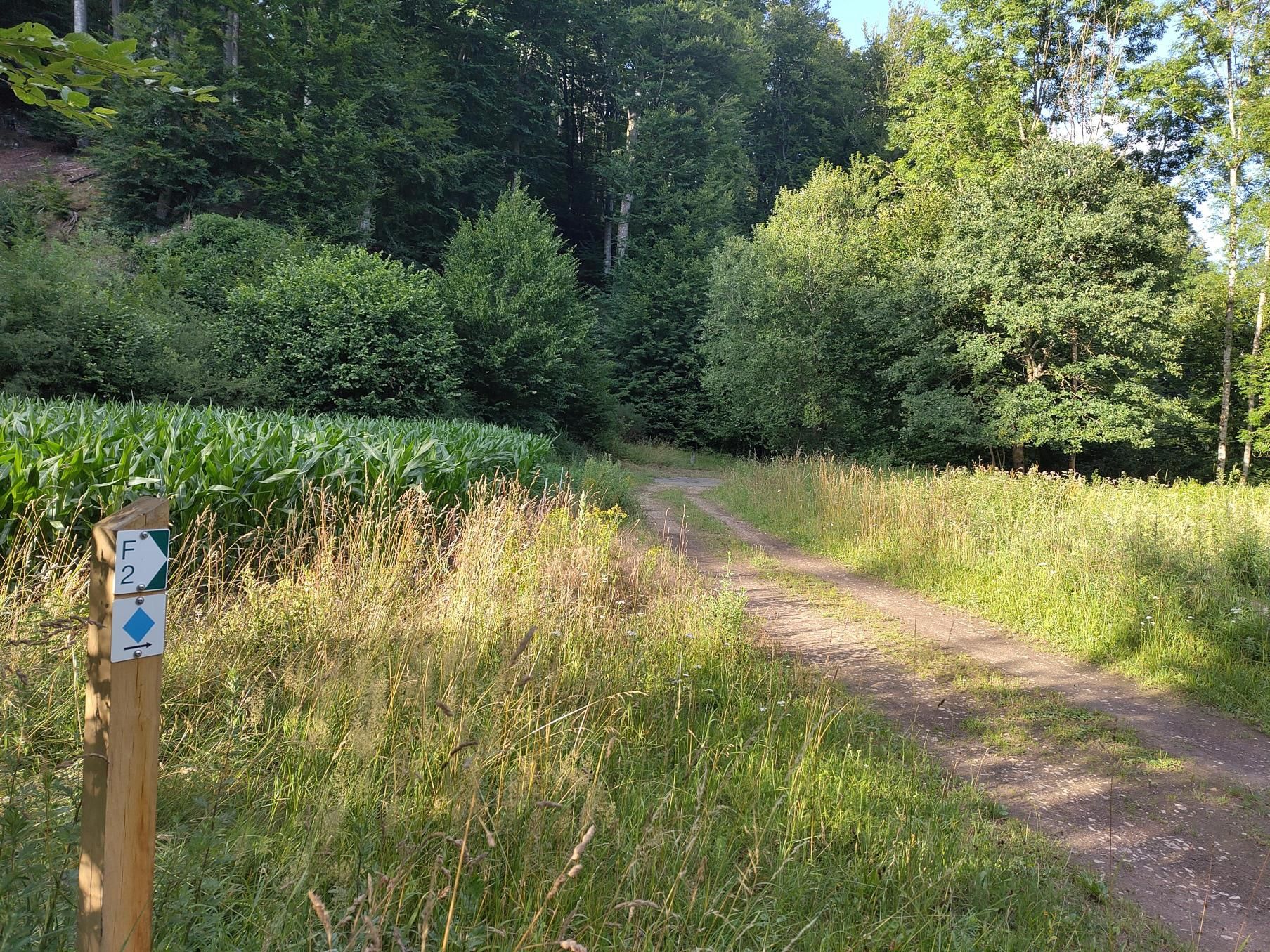
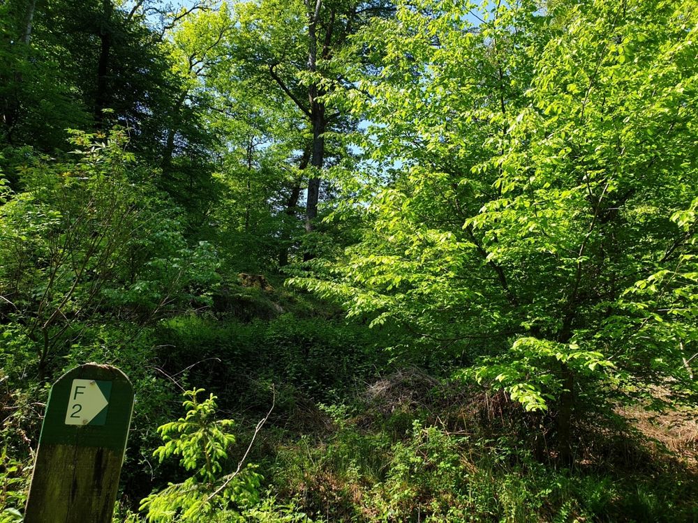
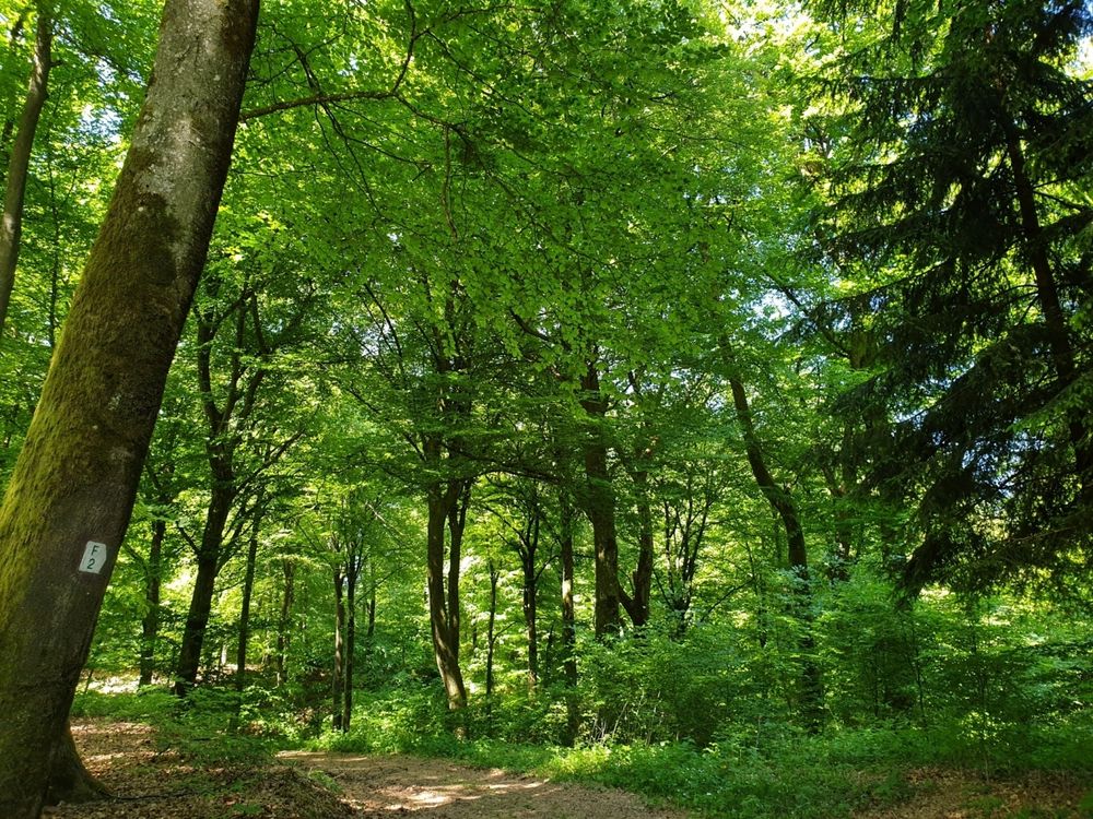
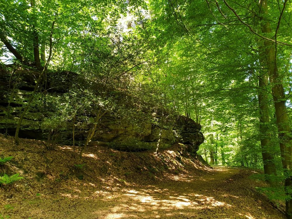
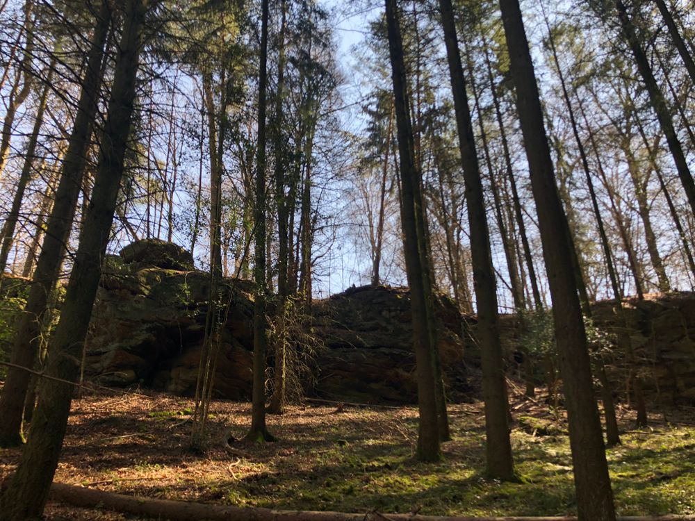
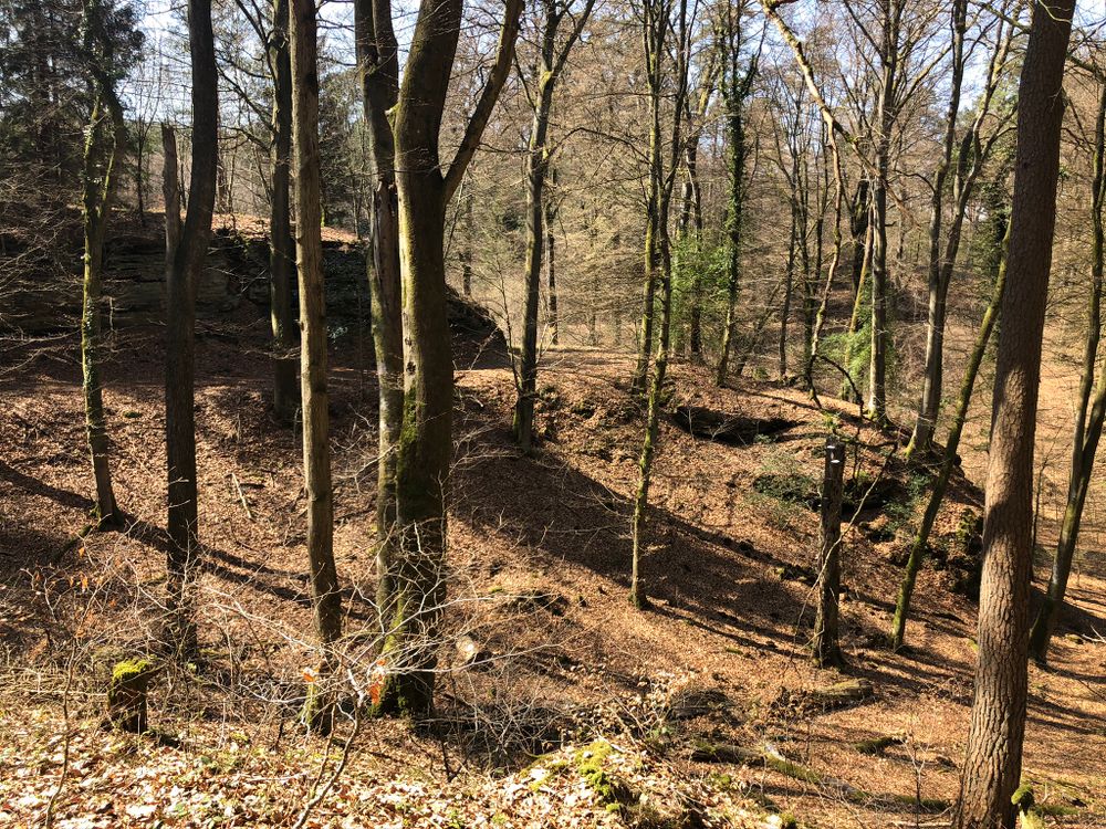
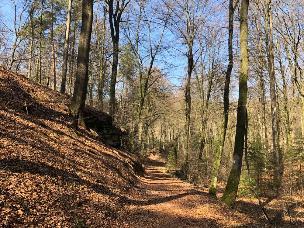
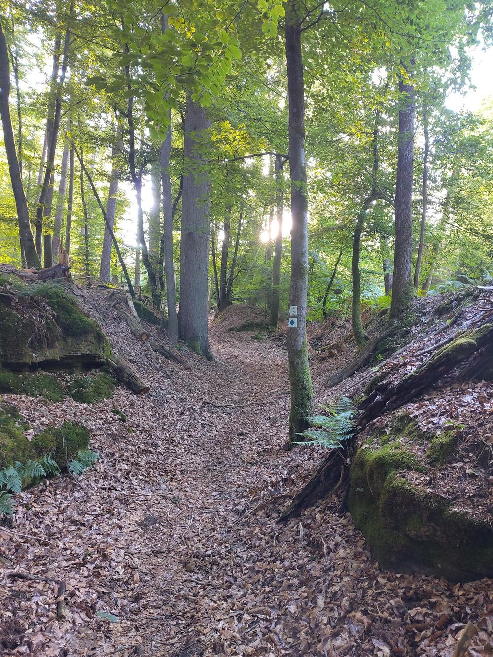
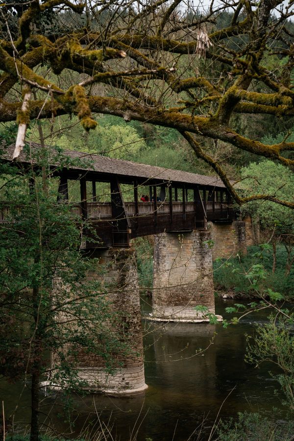
The route then ascends through the forest via an old hollow path, before winding back down into the valley surrounded by rocks. A paved path leads to the Fischbach ponds, where a refreshment stop is available.

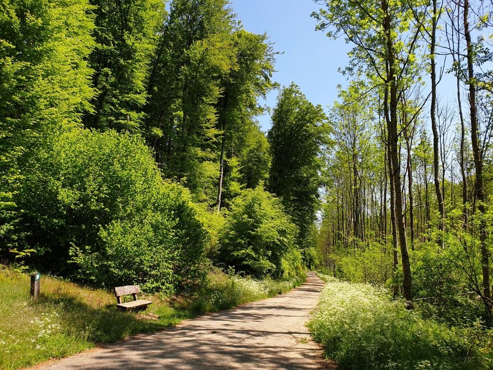
Another resting possibilty awaits after the next climb: a pavilion with a picnic bench and small pond invites hikers to pause. From there, the trail returns to the starting point.


Similar hiking tours

© Pulsa Pictures, ORT SUD
Thematic paths
Didactic trail "Natura 2000" - Ellergronn
Distance: 11,92 km
Duration: 3:20 h
Difficulty: medium
Find out more
© Tom Barnich, Visit Berdorf
Circular routes
Local hiking trail - B17
Distance: 6,14 km
Duration: 1:40 h
Difficulty: medium
Find out more
© Jean-Pierre Tholl, Visit Guttland
Circular routes
Auto-pédestre trail Grosbous
Distance: 8,55 km
Duration: 2:20 h
Difficulty: medium
Find out more
© Visit Luxembourg
Thematic paths
Didactic nature path "Joffer Margot"
Distance: 6,88 km
Duration: 2:00 h
Difficulty: medium
Find out more
© Jeniska Photography, Visit Guttland
Guttland.Trails
Guttland.Trail Schéiferei
Distance: 10,23 km
Duration: 3:05 h
Difficulty: medium
Find out more
© Visit Éislek, Visit Éislek
Circular routes
Local hiking trail WI 5 - Eschweiler Halte
Distance: 7,98 km
Duration: 2:20 h
Difficulty: medium
Find out more
© Visit Éislek, Visit Éislek
Circular routes
Local hiking trail WN 3 - Brachtenbach
Distance: 7,69 km
Duration: 2:15 h
Difficulty: medium
Find out more
© Visit Éislek, Visit Éislek
Circular routes
Local hiking trail WS 1 - Winseler
Distance: 4,31 km
Duration: 1:15 h
Difficulty: medium
Find out more
© Visit Éislek, Visit Éislek
Circular routes
Local hiking trail WS 3 - Berlé
Distance: 6,98 km
Duration: 1:55 h
Difficulty: medium
Find out more