Description
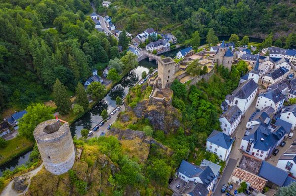
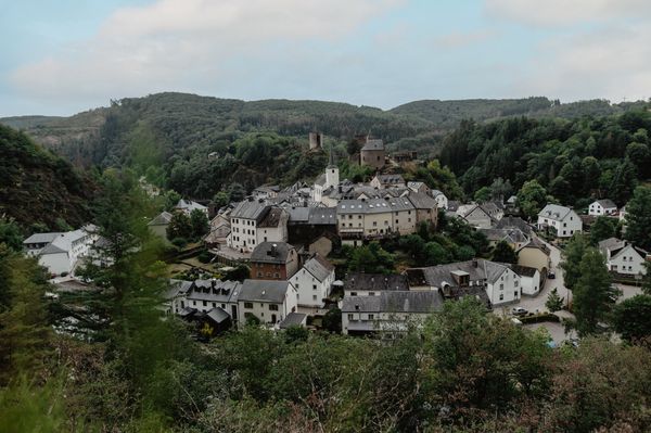
This path takes you over a long distance through the rocky landscape of Consdorf. But you will also see a variety of landscapes.
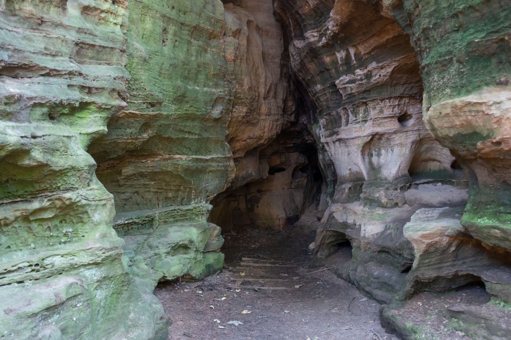
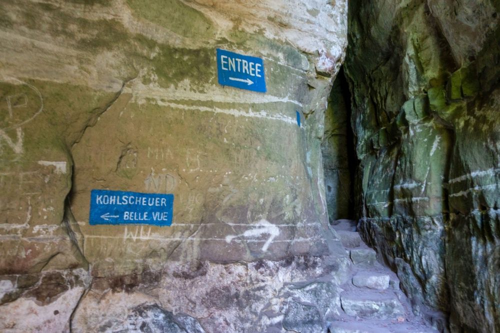
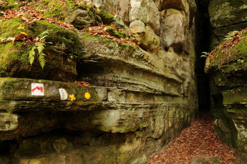
After the first section through the forest, you get to "Méchelskirch", a cave inhabited by a hermit in the 18th century. After almost 5 km, you can make a detour to the emblematic Kuelscheier, a pitch-dark crevice of about 100 m long which you can cross. It is advisable to have a flashlight with you.
Signposting

Directions
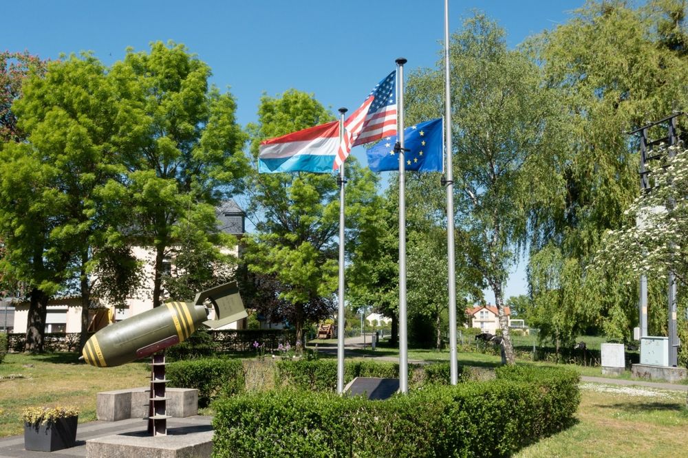
At the starting point of this tour, there is the monument of a disarmed aircraft bomb from World War II.
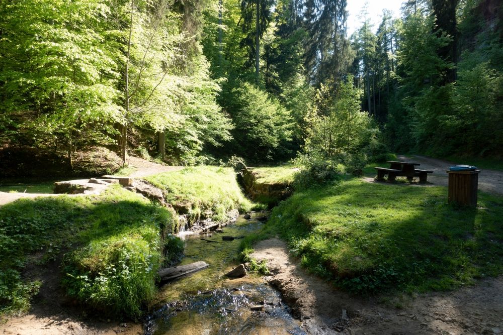
First, you walk over an asphalted road to the romantic little valley called Dielchen and then follow a small path, leading you past the former recluse of Méchelskierch. You continue onto open fields around the hamlet of Wolper.
You soon reach the plateau of Muerbësch, a woodland parcel with a number of so-called mardelles. These are round basins in the ground, partly filled with water which can sometimes dry up in summer. They are essential to the survival of amphibians.
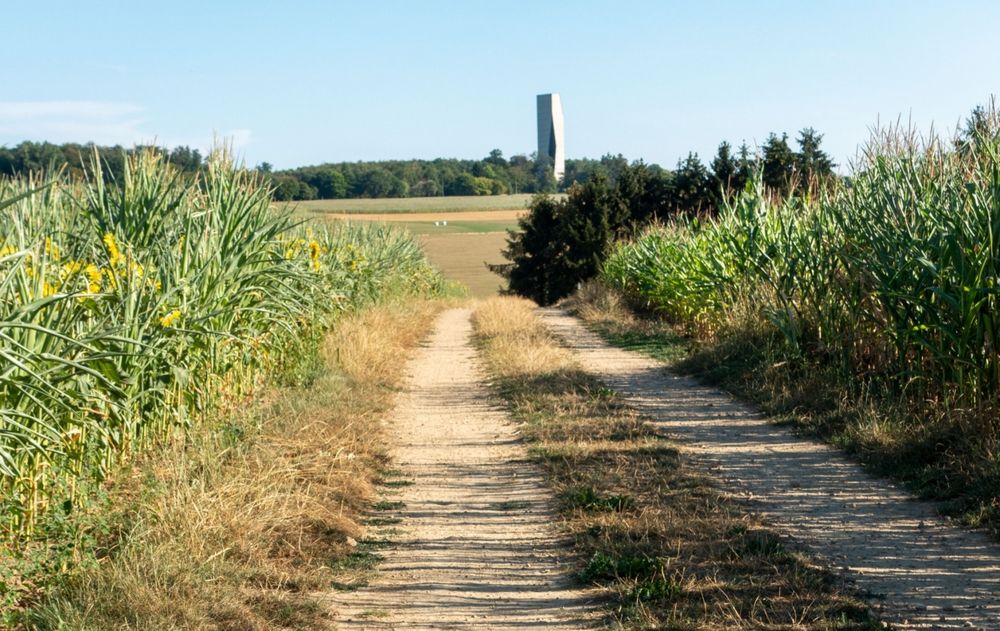
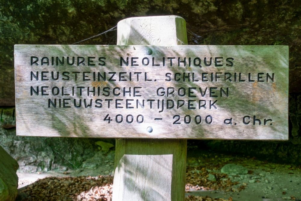
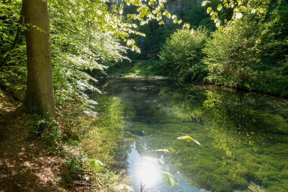
After passing through more open fields, you will see the skyline of the village of Altrier with its distinctive water tower. From now on, the path leads you past the brook Steebaach and then down into the valley of the Härdbaach. Markings on the rocks date back to the stone age.
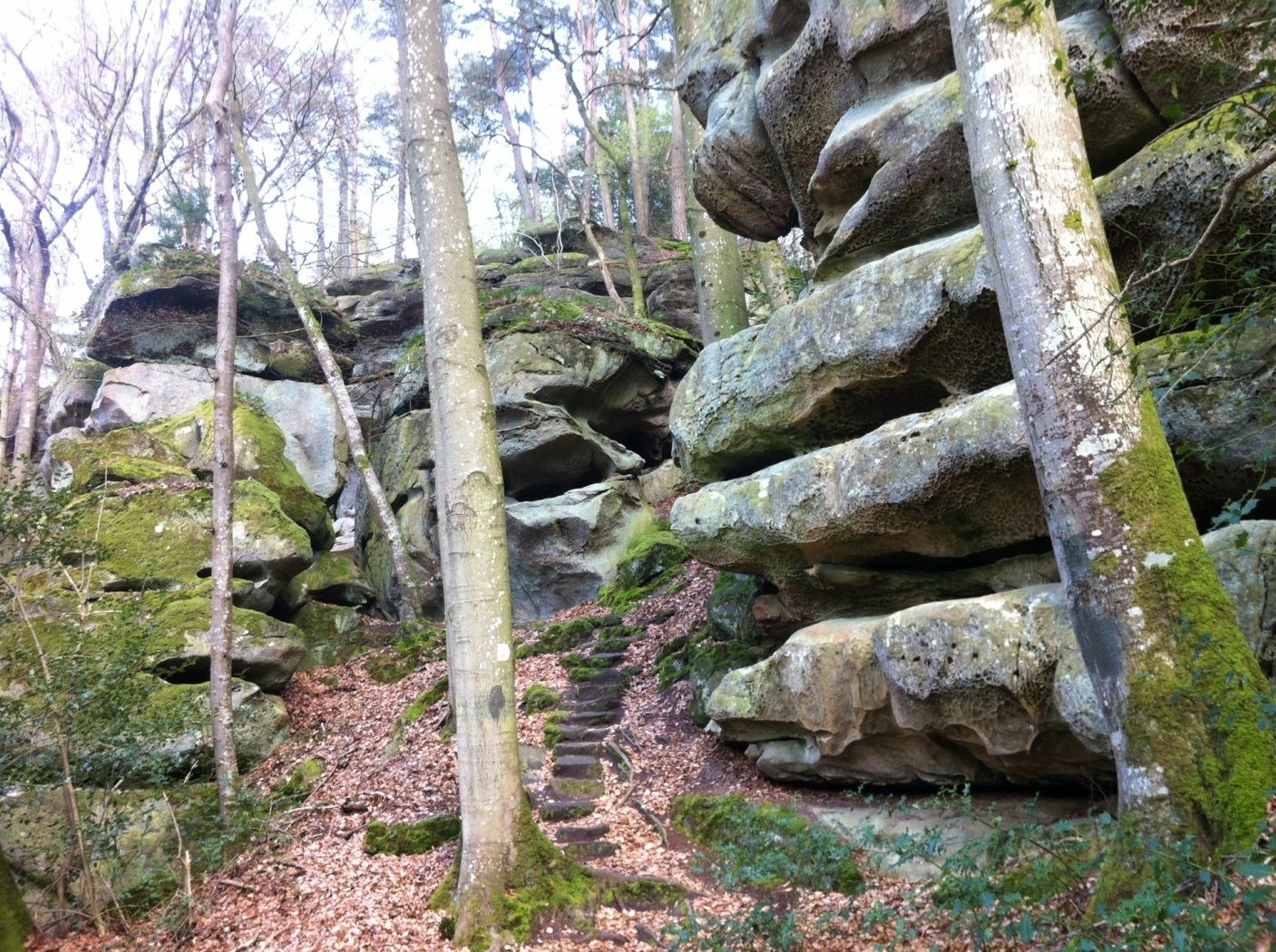
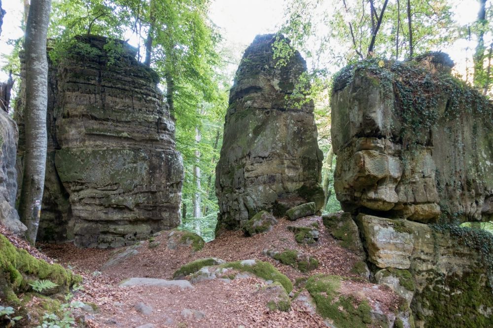
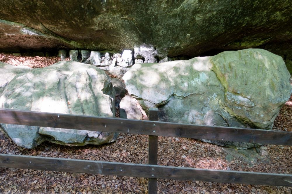
After crossing the brook, you climb up into the rugged rock face and see many bizarre erosion marks. A visit to the Kuelscheier Adventure is highly recommended before you follow the ascending trail out of the valley and back to the village and the starting point.
Equipment
Sturdy shoes
Journey
Nearest bus station is: Consdorf, Gare
Getting there:
From Echternach via E29, CR118, CR137.
Parking:
A parking place is located directly at the starting point.


 This website uses technology and content from the Outdooractive Platform.