
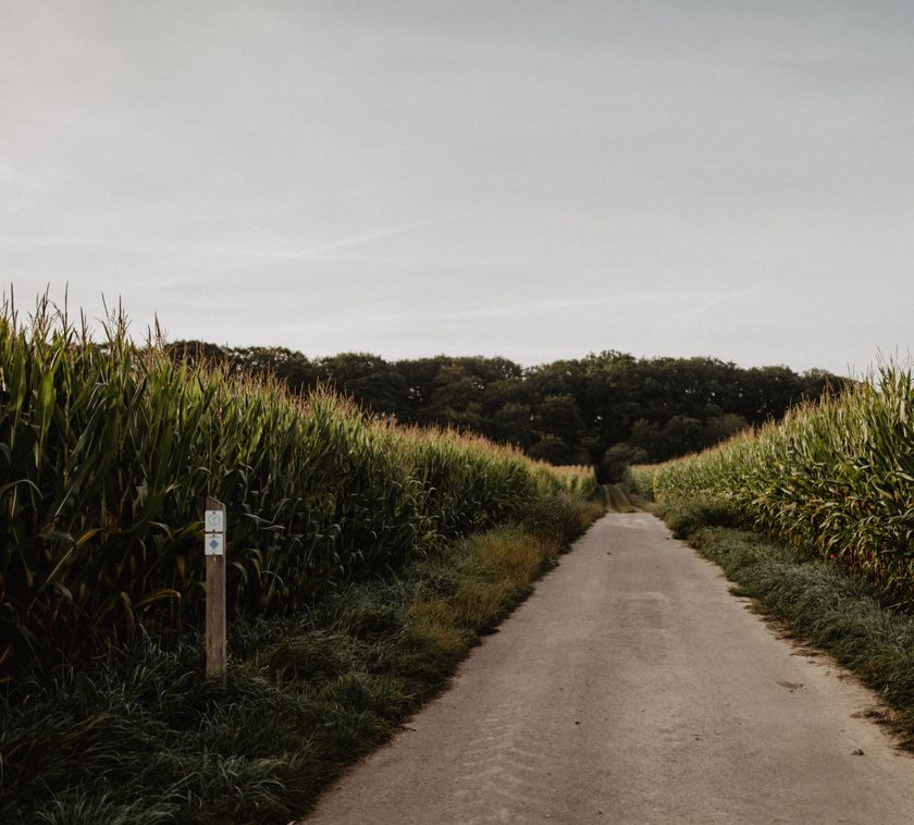
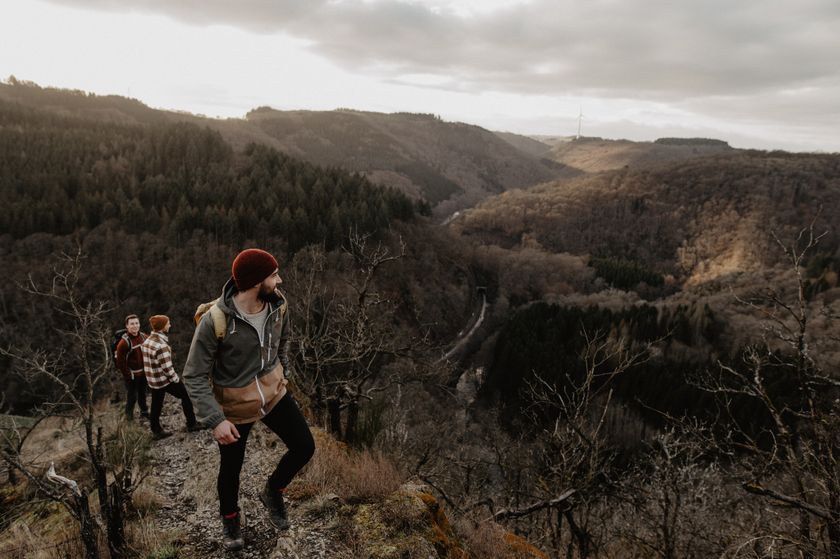
Boulaide © Visit Éislek
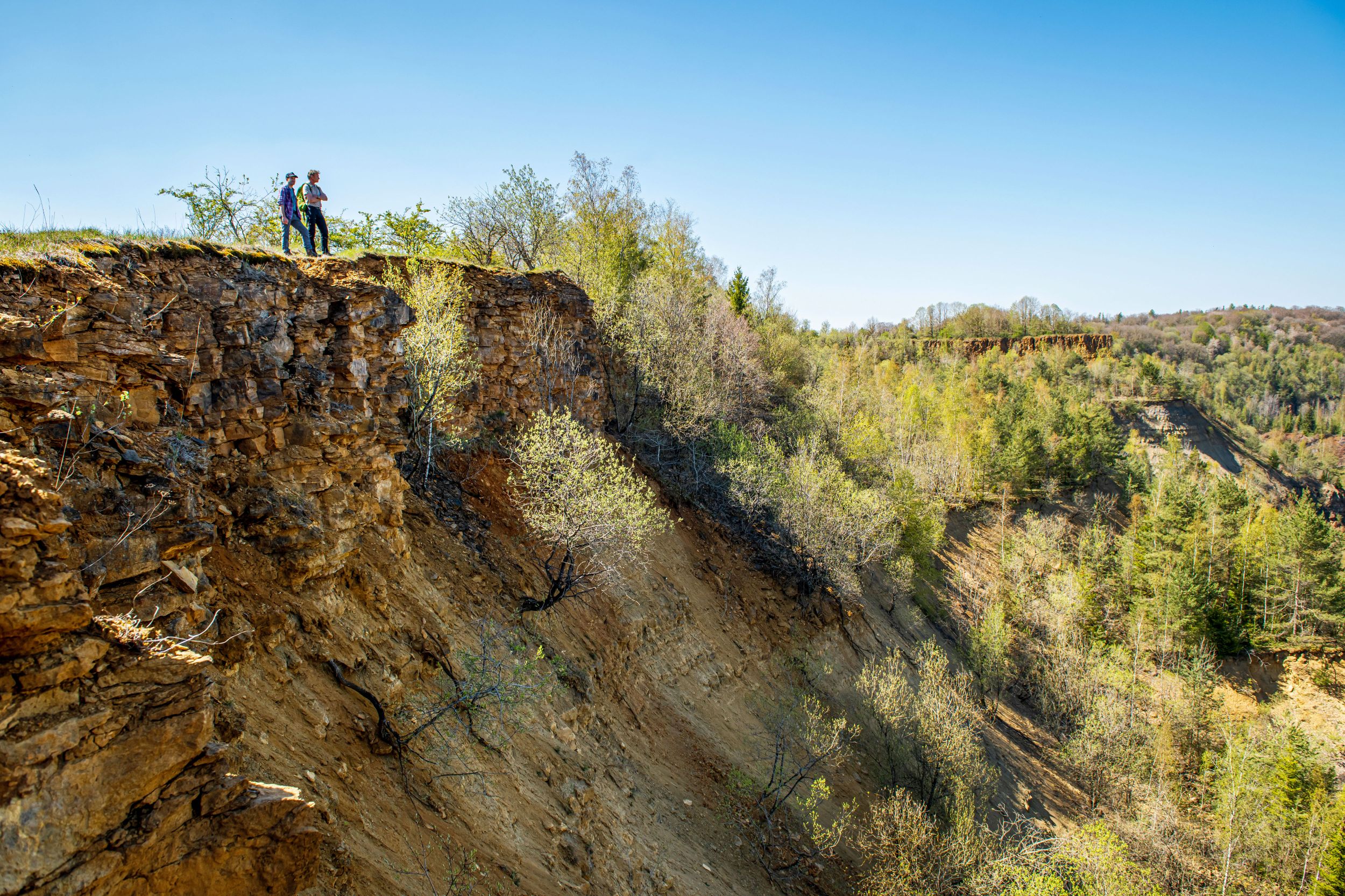
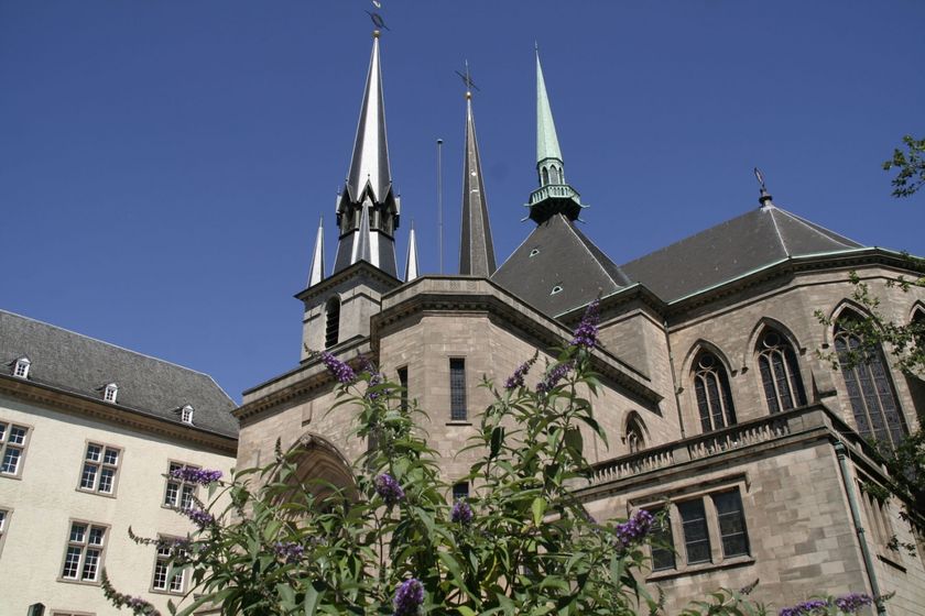
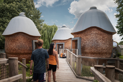
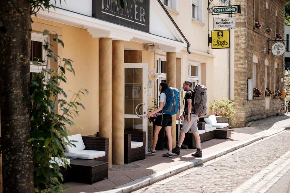
© André Schösser
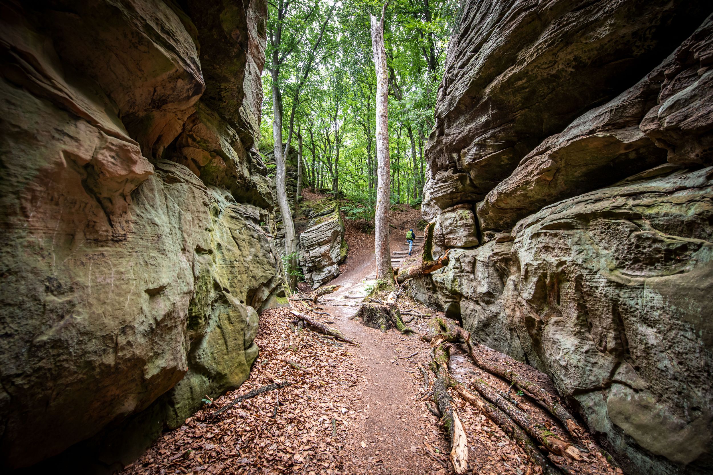
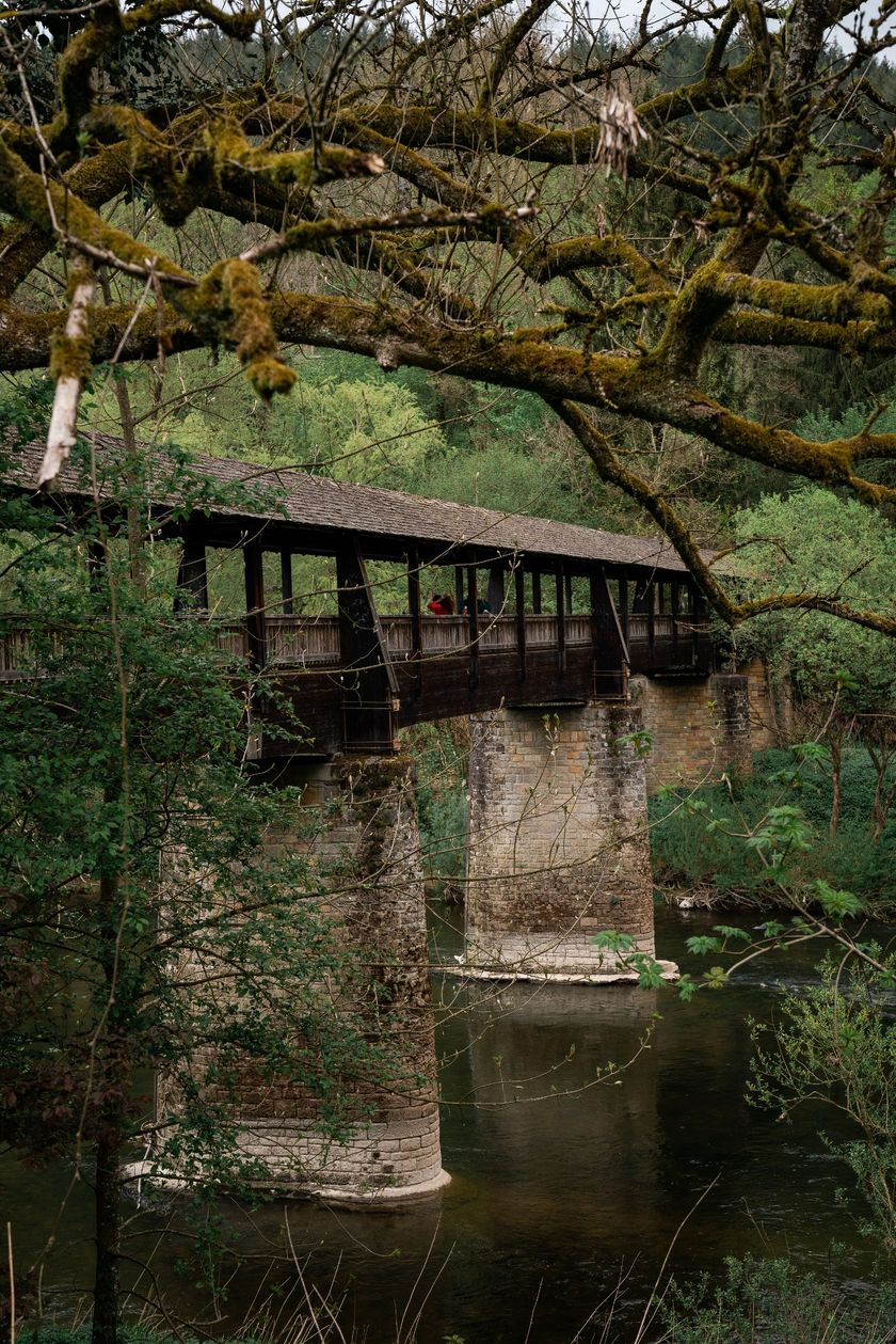
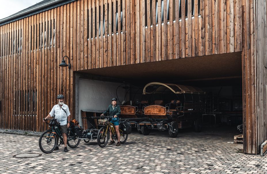
© André Schösser
Luxemburg Wandeltochten
Wandelkaart
pdf | 18.27 MBDownload - Wandelkaart | pdf | 18.27 MBDeze uitklapbare kaart in vier talen (FR, EN, DE, NL) geeft een praktisch overzicht van de Luxemburgse top-wandelaanbiedingen en bevat naast geografische oriëntatie ook beknopte informatie in tekst en beeld.
Wandelroutes in Luxemburg
544 resultaten
- © Pancake! Photographie, Visit LuxembourgMullerthal Trail - Leading Quality Trails - Best of EuropeSchilderachtig
Mullerthal Trail Route 1
Afstand: 36,74 kmMeer informatie
Duur: 10:25 h
Moeilijkheidsgraad: medium - © Visit LuxembourgThematische routesKinderen & Gezin Schilderachtig
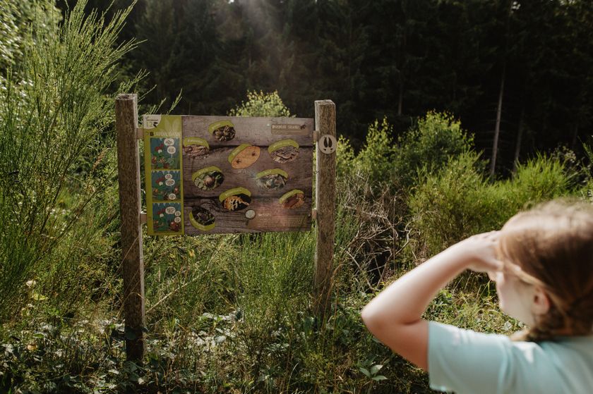
Natuurpad Cactusbësch
Afstand: 6,09 kmMeer informatie
Duur: 1:50 h
Moeilijkheidsgraad: makkelijk - © Visit Éislek, Visit ÉislekRondwandelroutesSchilderachtig
Lokale wandelroute ET 1 - Warken
Afstand: 4,74 kmMeer informatie
Duur: 1:30 h
Moeilijkheidsgraad: medium - © Visit LuxembourgKinderen & Gezin Schilderachtig
Wiss, Baach, Bësch
Afstand: 5,67 kmMeer informatie
Duur: 1:35 h
Moeilijkheidsgraad: makkelijk - © Visit Éislek, Visit ÉislekRondwandelroutesSchilderachtig
Lokale wandelroute BL 4 - Boulaide
Afstand: 7,67 kmMeer informatie
Duur: 2:15 h
Moeilijkheidsgraad: medium - © Visit LuxembourgRondwandelroutesSchilderachtig
Auto-Pédestre wandelroute Bigonville
Afstand: 12,51 kmMeer informatie
Duur: 3:35 h
Moeilijkheidsgraad: medium - © Visit LuxembourgLangeafstandswandelroutesSchilderachtig
20 Station naar station Luxembourg - Bettembourg
Afstand: 35,24 kmMeer informatie
Duur: 10:30 h
Moeilijkheidsgraad: moeilijk - © Tom Barnich, Visit BerdorfRondwandelroutes
Lokale Wandelroute - B17
Afstand: 6,14 kmMeer informatie
Duur: 1:40 h
Moeilijkheidsgraad: makkelijk - © Visit LuxembourgRondwandelroutes
Auto-pédestre wandelroute Echternach Centre
Afstand: 6,88 kmMeer informatie
Duur: 2:01 h
Moeilijkheidsgraad: medium - © Visit LuxembourgLangeafstandswandelroutesSchilderachtig
CFL-Bahnwanderweg 12 (Ettelbruck - Colmar-Berg)
Afstand: 16,39 kmMeer informatie
Duur: 4:30 h
Moeilijkheidsgraad: moeilijk
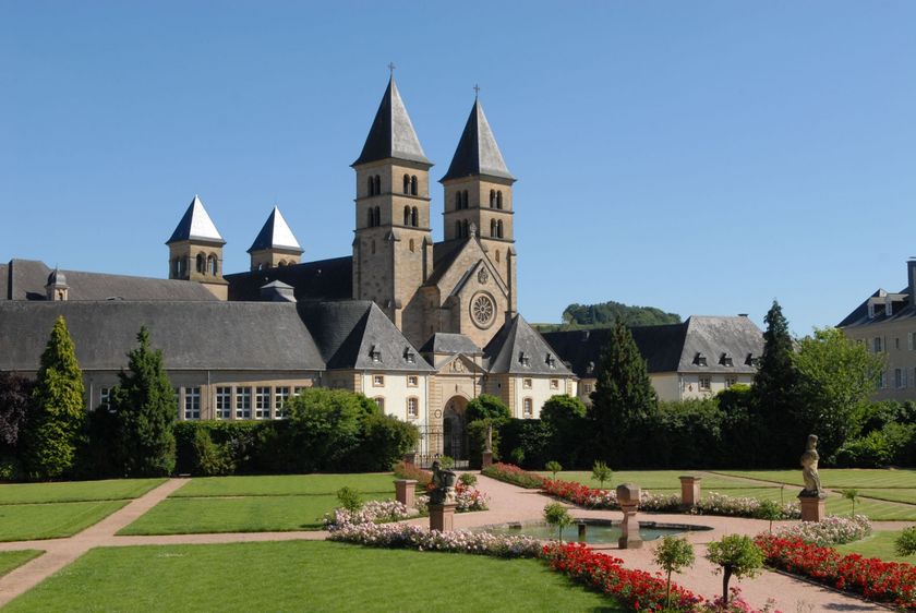
© Renata Lusso
Bagagevervoer - Move we carry
- Zorgeloos wandelen
- Fietsen zonder bagage
- Rustig slapen
Wandelaanbiedingen voor natuurliefhebbers
© Aux Tanneries Wiltz
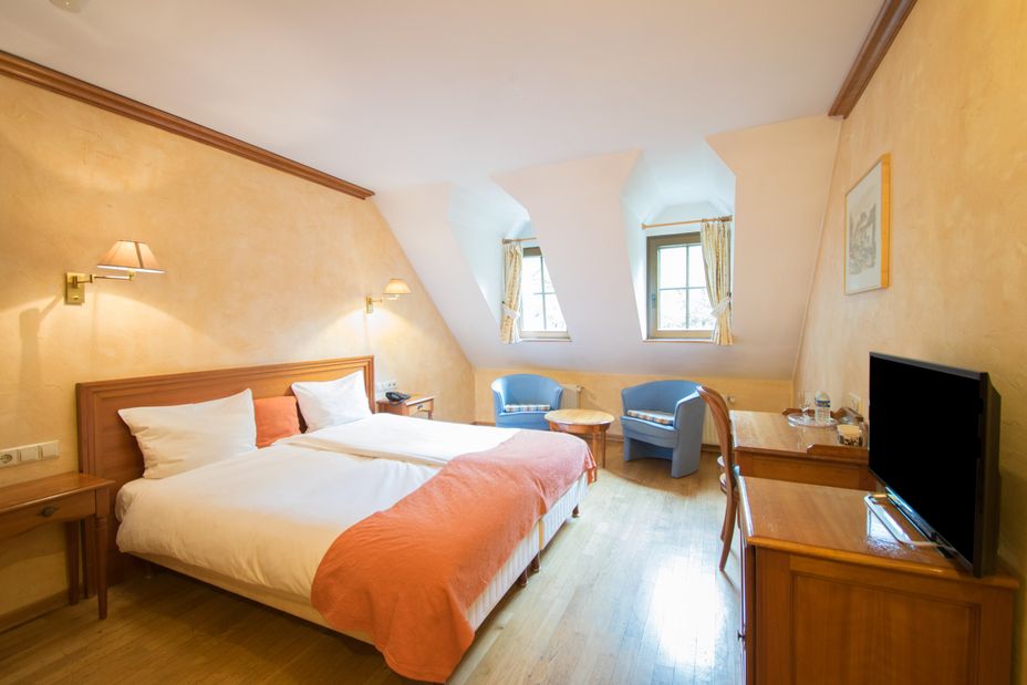
© Hotel Le Petit Poète
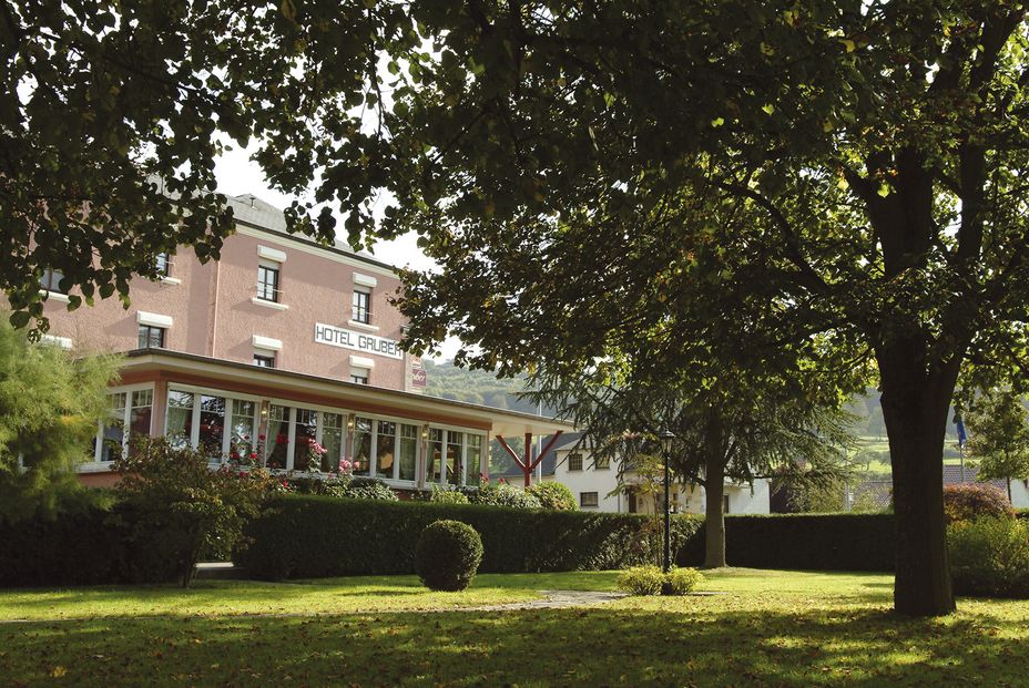
© Hotel Gruber
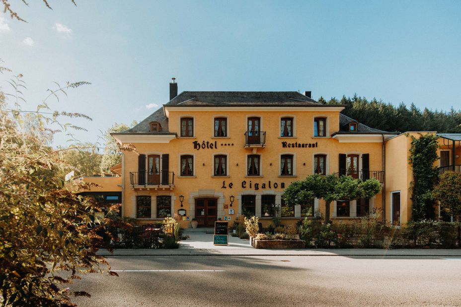
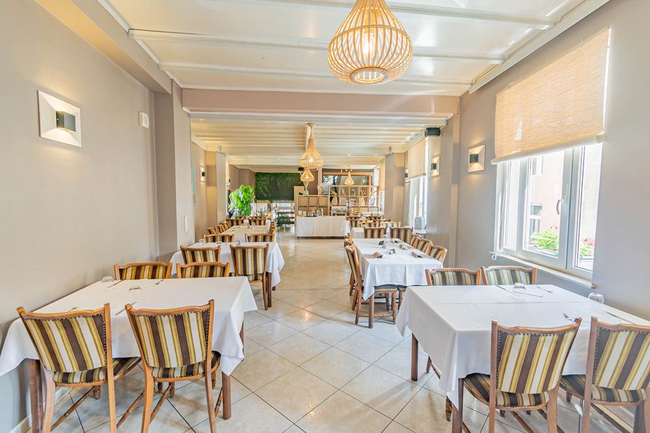
© Hotel Le Cigalon
© Hotel Le Petit Poète
© Hotel Le Cigalon

© ORTCO