Luxemburg Wandeltochten
Hitte en droogte: help onze natuur te beschermen
Tijdens periodes met hoge temperaturen en aanhoudende droogte neemt het risico op natuur- en bosbranden aanzienlijk toe. Met enkele eenvoudige voorzorgsmaatregelen kan iedereen bijdragen aan de bescherming van onze natuur en bossen.
Lees de aanbevelingen van de Luxemburgse autoriteiten om natuur- en bosbranden te helpen voorkomen.
Wandelroutes in Luxemburg
613 resultaten
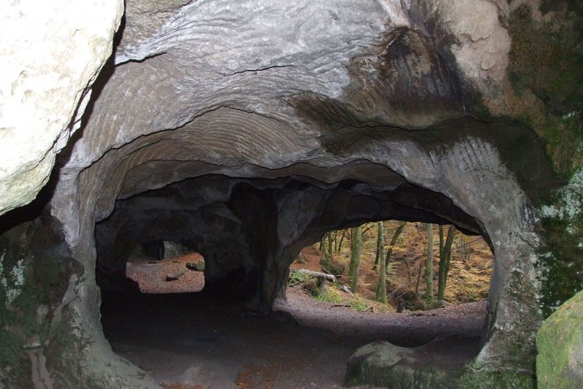
©Visit Luxembourg RondwandelroutesLokale wandelroute - R5
Afstand: 7,53 kmMeer informatie
Duur: 2:10 h
Moeilijkheidsgraad: medium©Pancake! Photographie, Visit Mullerthal RondwandelroutesSchilderachtigLokale wandelroute - E4
Afstand: 10,99 kmMeer informatie
Duur: 3:20 h
Moeilijkheidsgraad: medium©Visit Luxembourg RondwandelroutesSchilderachtigAuto-pédestre wandelroute Larochette
Afstand: 8,50 kmMeer informatie
Duur: 3:00 h
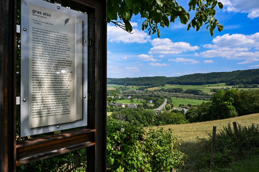
Moeilijkheidsgraad: medium©©Visit Éislek Thematische routesLiteratuurpad Ettelbruck
Afstand: 6,43 kmMeer informatie
Duur: 1:50 h
Moeilijkheidsgraad: medium©Visit Luxembourg RondwandelroutesSchilderachtig HondvriendelijkLokale wandelroute - E8
Afstand: 6,26 kmMeer informatie
Duur: 1:40 h
Moeilijkheidsgraad: medium©Visit Éislek, Visit Éislek RondwandelroutesKinderen & Gezin SchilderachtigLokale wandelroute SI 1 - Schieren
Afstand: 6,94 kmMeer informatie
Duur: 1:55 h
Moeilijkheidsgraad: makkelijk©ORT Sud RondwandelroutesAuto-Pédestre Rondwandelroute Schifflange
Afstand: 7,65 kmMeer informatie
Duur: 2:15 h
Moeilijkheidsgraad: medium©Visit Luxembourg RondwandelroutesLokale wandelroute - J4
Afstand: 13,10 kmMeer informatie
Duur: 3:28 h
Moeilijkheidsgraad: medium©Visit Luxembourg RondwandelroutesLokale wandelroute - J17
Afstand: 11,02 kmMeer informatie
Duur: 2:50 h
Moeilijkheidsgraad: medium©Visit Luxembourg RondwandelroutesAuto-pédestre wandelroute Berdorf
Afstand: 6,61 kmMeer informatie
Duur: 1:45 h
Moeilijkheidsgraad: medium