© Alfonso Salgueiro, Visit Guttland - Alfonso Salgueiro Photography
Guttland Germany France

Auto-pédestre Wandelroute Senningerberg

Vertrekpunt
Parkeerplaats watertoren Senningerberg / L-2443 Senningerberg
Bestemming
Parkeerplaats watertoren Senningerberg / L-2443 Senningerberg
Route
10,95 km
Duur
2:55 h
moeilijkheid
makkelijk
  • Voorwaarde
Hoogste punt
424 Hm
Laagste punt
364 Hm
Beklimming
110 Hm
Herkomst
126 Hm
Rondwandelroutes V. G.

Beschrijving

Hondvriendelijk

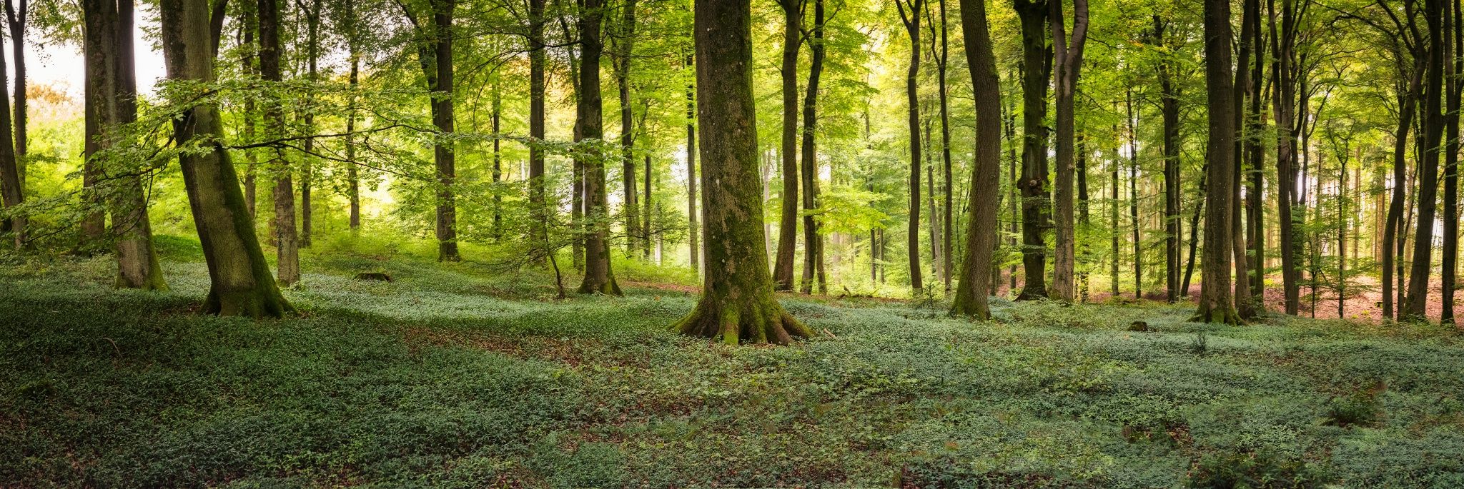
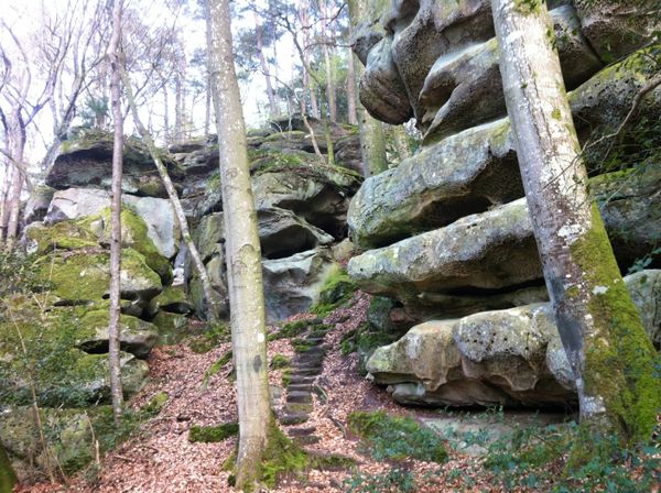
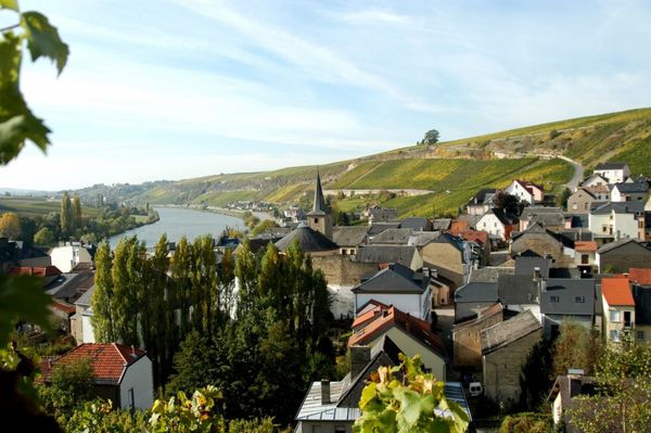
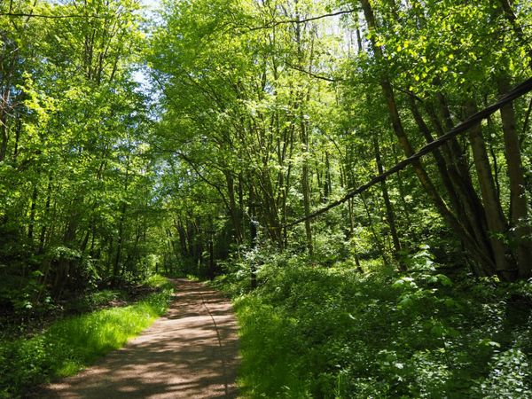
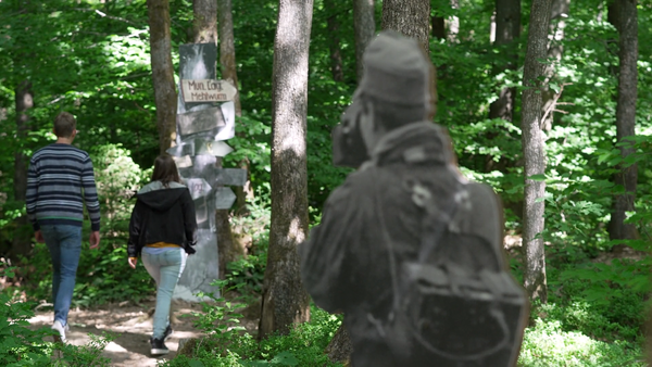
De rondwandeling voert grotendeels door afgelegen bossen, met name door het betoverende Gréngewald, het grootste aaneengesloten bosgebied in Luxemburg.

Hoogtepunten langs de tocht

Auto-pédestre Wandelroute Senningerberg

  • E-bike laadstation Senningerberg
    6 opbergboxen voor fietsen en 6 oplaadvakken voor e-bike accu's
    Meer informatie
  • © Hotel Charly's Gare
    Hotel Charly's Gare
  • © Hotel Il Castello Borghese
    Hotel Il Castello Borghese
    Wifi
  • Fiets service station Senningerberg
    Fietsreparatiestation met gereedschap, pomp, en automaat voor fietsbinnenbanden
    Meer informatie

Vergelijkbare wandeltochten

© Fränk Weber, Studio Frank Weber
Rondwandelroutes
Auto-Pédestre wandelroute Bourscheid
Afstand: 5,88 km
Duur: 2:00 h
Moeilijkheidsgraad: makkelijk
Meer informatie
© Visit Luxembourg
Rondwandelroutes
Auto-Pédestre wandelroute Bürden
Afstand: 4,62 km
Duur: 1:25 h
Moeilijkheidsgraad: makkelijk
Meer informatie
© ORT Sud
Rondwandelroutes
Parc Le'h - wandelpad voor kinderen
Afstand: 1,46 km
Duur: 0:20 h
Moeilijkheidsgraad: makkelijk
Meer informatie
© Visit Luxembourg
Rondwandelroutes
Auto-Pédestre wandelroute Eschweiler
Afstand: 7,05 km
Duur: 1:55 h
Moeilijkheidsgraad: makkelijk
Meer informatie
© Visit Luxembourg
Rondwandelroutes
Auto-Pédestre wandelroute Surré
Afstand: 6,21 km
Duur: 1:45 h
Moeilijkheidsgraad: makkelijk
Meer informatie
© Visit Luxembourg
Thematische routes
Natuurpad Cactusbësch
Afstand: 6,09 km
Duur: 1:50 h
Moeilijkheidsgraad: makkelijk
Meer informatie
© Visit Luxembourg
Thematische routes
Didactische pad over bijen tussen Waldbillig en Christnach
Afstand: 4,00 km
Duur: 1:30 h
Moeilijkheidsgraad: makkelijk
Meer informatie
© Jeniska Photography, Visit Luxembourg
Guttland.Trails
Guttland.Trail Fautelfiels
Afstand: 5,40 km
Duur: 1:45 h
Moeilijkheidsgraad: makkelijk
Meer informatie
© Pancake! Photographie, Visit Guttland
Thematische routes
Meditatieweg van Rindschleiden
Afstand: 1,49 km
Duur: 0:25 h
Moeilijkheidsgraad: makkelijk
Meer informatie