Langeafstandswandelroutes Visit Luxembourg
Beschrijving
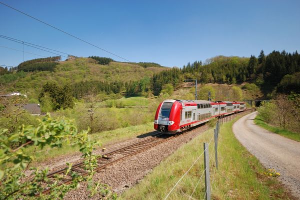
Loop van station naar station tussen Leudelange, het Mamer Lycée en Mamer in de nabijheid van de stad Luxemburg
Startpunt: treinstation Leudelange, treinstation Mamer
Alternatief begin- of eindpunt: treinstation Mamer-Lycée
Bewegwijzering
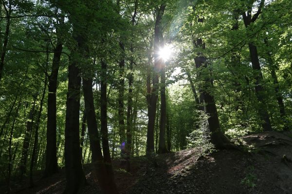
Wegbeschrijving
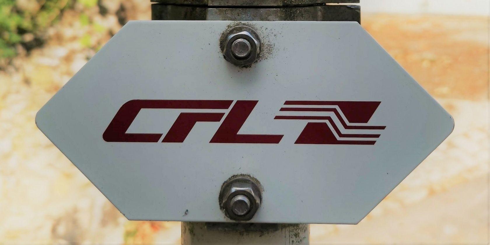
Volg de borden "CFL"
De route is in beide richtingen bewegwijzerd
Veiligheidsaanwijzingen
Denk eraan om bij slecht weer stevige schoenen en geschikte kleding te dragen.
Uitrusting
Vergeet niet voldoende eten in te pakken voor de rondwandeling.
Aankomst
Openbaar vervoer:
Parking:
Maak gebruik van het gratis openbaar vervoer en reis klimaatvriendelijk met bus en trein. Begin- en eindpunt van alle CFL-routes zijn per trein bereikbaar.
Parking:
Op de gratis parkeerplaats bij de startpunt.


 Deze website maakt gebruik van technologie en inhoud van het Outdooractive Platform.