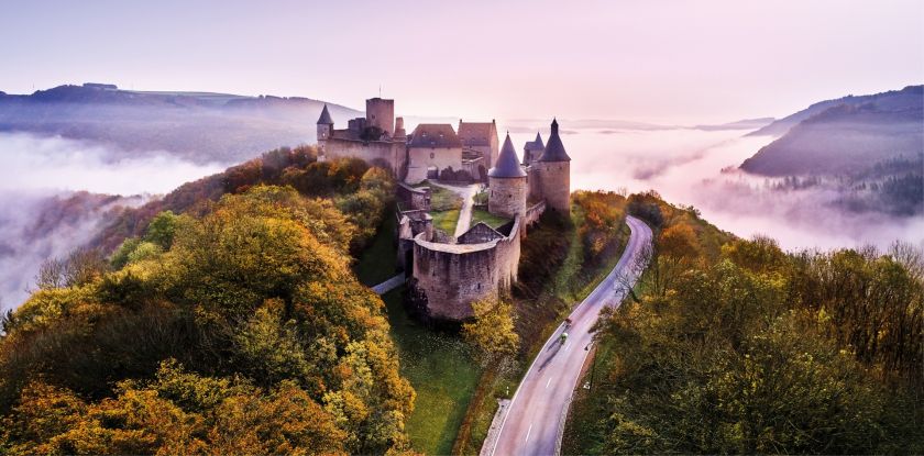
Eschdorf © Visit Éislek

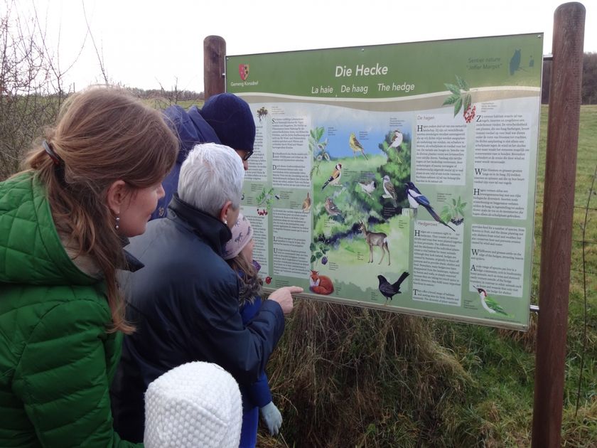
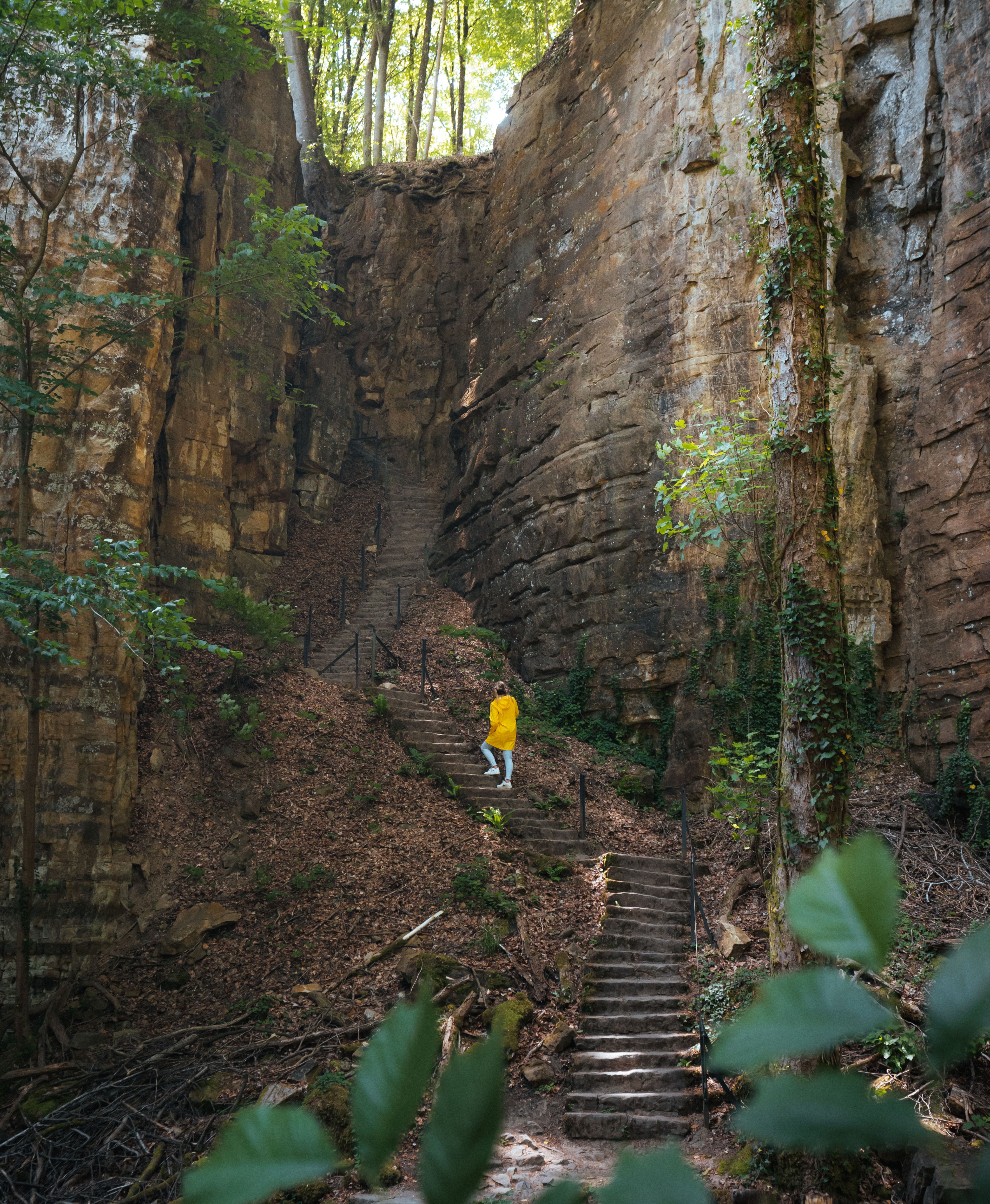
© André Schösser

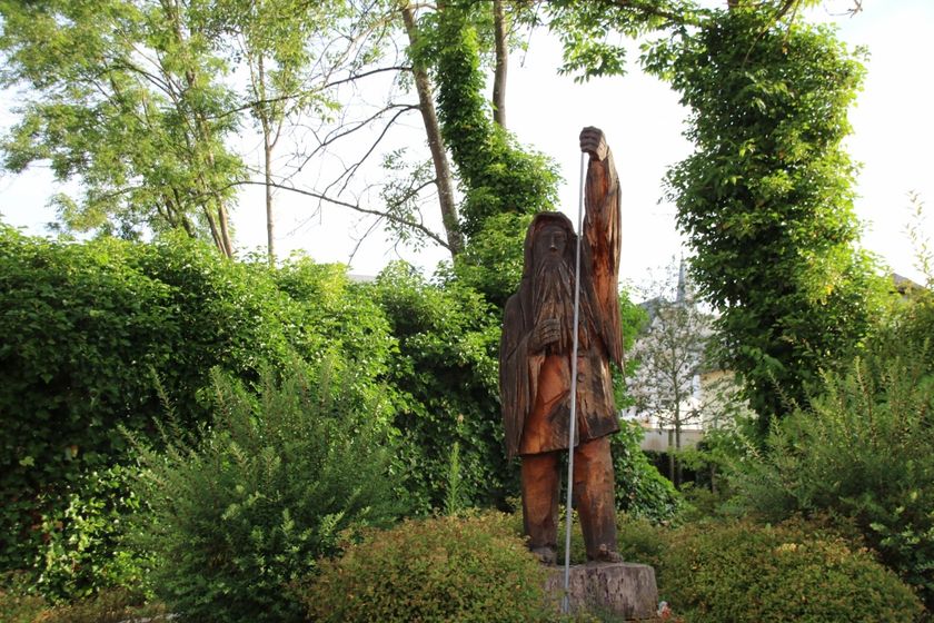
© André Schösser
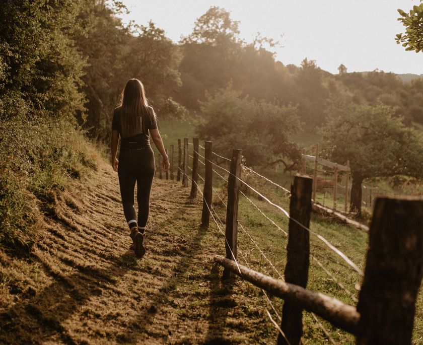
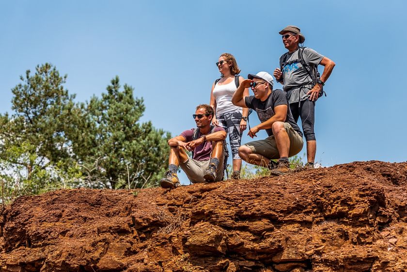
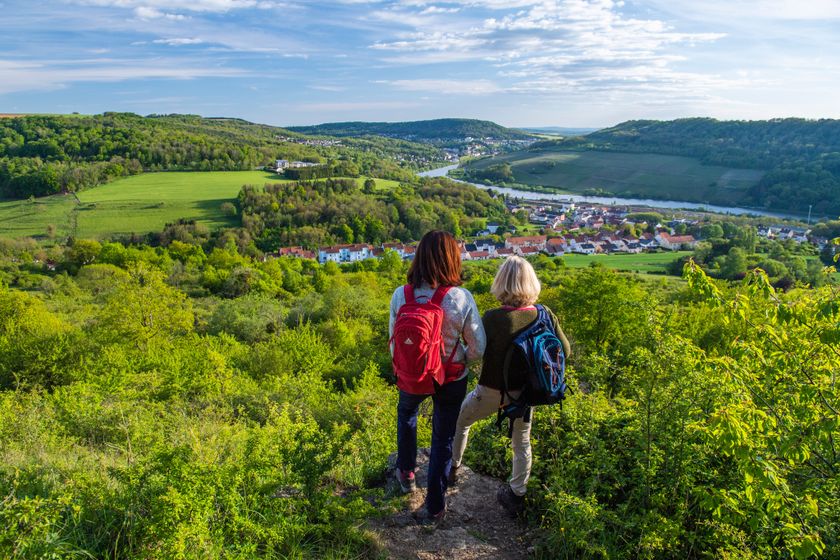
Luxemburg Wandeltochten
Wandelkaart
pdf | 18.27 MBDownload - Wandelkaart | pdf | 18.27 MBDeze uitklapbare kaart in vier talen (FR, EN, DE, NL) geeft een praktisch overzicht van de Luxemburgse top-wandelaanbiedingen en bevat naast geografische oriëntatie ook beknopte informatie in tekst en beeld.
Wandelroutes in Luxemburg
556 resultaten
- © Visit LuxembourgRondwandelroutes
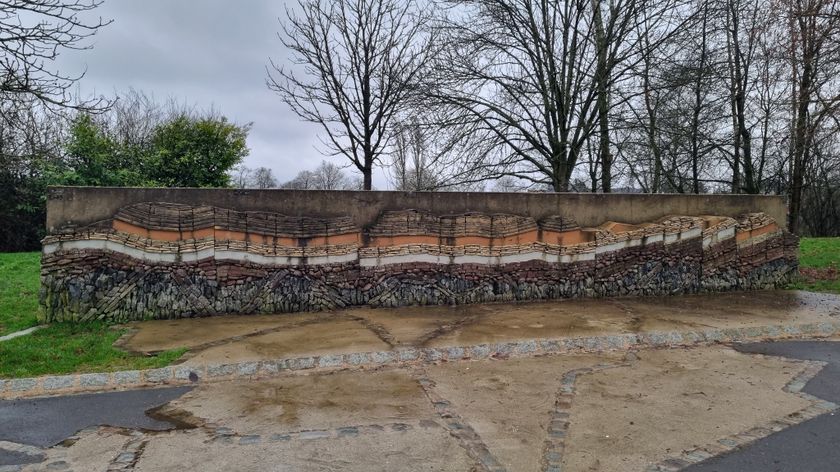
Lehrpfad Mensch und Stein Beaufort
Afstand: 5,83 kmMeer informatie
Duur: 2:00 h
Moeilijkheidsgraad: makkelijk - © Visit Éislek, Visit ÉislekRondwandelroutesSchilderachtig
Lokale wandelroute BS 2 - Kehmen
Afstand: 6,97 kmMeer informatie
Duur: 2:05 h
Moeilijkheidsgraad: medium - © Visit Éislek, Visit ÉislekRondwandelroutesSchilderachtig
Lokale wandelroute CL 1 - Kalborn
Afstand: 5,33 kmMeer informatie
Duur: 1:35 h
Moeilijkheidsgraad: makkelijk - © Pulsa Pictures, ORT SUDMinett TrailSchilderachtig
Minett Trail: Esch-sur-Alzette Gare - Schifflange Gare
Afstand: 8,92 kmMeer informatie
Duur: 2:35 h
Moeilijkheidsgraad: medium - © ORT SudRondwandelroutes
Auto-Pédestre Rondwandelroute Differdange-Lasauvage
Afstand: 10,99 kmMeer informatie
Duur: 3:05 h
Moeilijkheidsgraad: medium - © Fränk Weber, Studio Frank WeberRondwandelroutesSchilderachtig
Auto-Pédestre wandelroute Bourscheid
Afstand: 5,88 kmMeer informatie
Duur: 2:00 h
Moeilijkheidsgraad: makkelijk - © Visit Éislek, Visit ÉislekRondwandelroutesSchilderachtig
Lokale wandelroute LH 1 - Kaundorf
Afstand: 3,86 kmMeer informatie
Duur: 1:15 h
Moeilijkheidsgraad: makkelijk - © Visit LuxembourgThematische routes
Natuurpad "Joffer Margot"
Afstand: 6,88 kmMeer informatie
Duur: 2:00 h
Moeilijkheidsgraad: makkelijk - © Guy Krier, Visit GuttlandRondwandelroutes
Rondwandelroute Redange
Afstand: 8,10 kmMeer informatie
Duur: 2:12 h
Moeilijkheidsgraad: medium - © Patrick Müller, SaarSchleifenLandRondwandelroutesSchilderachtig
Moselle 3-Trail
Afstand: 32,90 kmMeer informatie
Duur: 9:40 h
Moeilijkheidsgraad: moeilijk