Luxemburg Wandeltochten
Hitte en droogte: help onze natuur te beschermen
Tijdens periodes met hoge temperaturen en aanhoudende droogte neemt het risico op natuur- en bosbranden aanzienlijk toe. Met enkele eenvoudige voorzorgsmaatregelen kan iedereen bijdragen aan de bescherming van onze natuur en bossen.
Lees de aanbevelingen van de Luxemburgse autoriteiten om natuur- en bosbranden te helpen voorkomen.
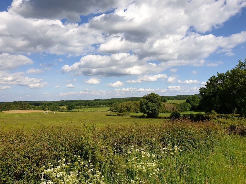
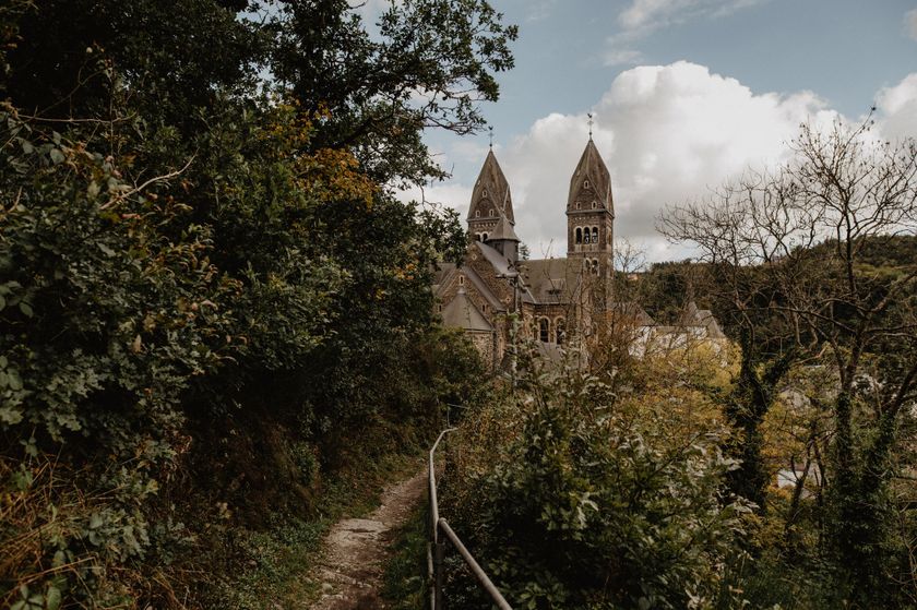
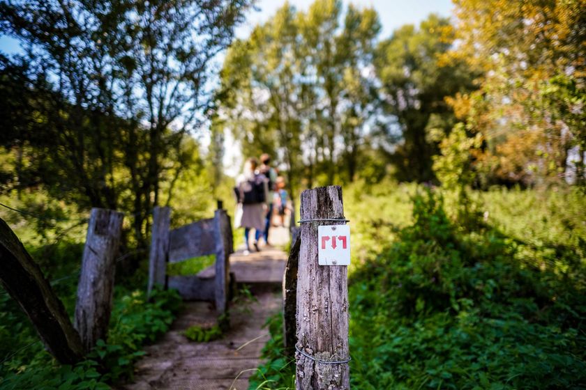
Wandelroutes in Luxemburg
613 resultaten
©Visit Luxembourg RondwandelroutesSchilderachtigLokale wandelroute - H1
Afstand: 7,53 kmMeer informatie
Duur: 1:55 h
Moeilijkheidsgraad: medium©ORT Sud RondwandelroutesAuto-Pédestre Rondwandelroute Belvaux
Afstand: 8,66 kmMeer informatie
Duur: 3:10 h
Moeilijkheidsgraad: medium©Visit Luxembourg RondwandelroutesLokale wandelroute - J23
Afstand: 8,37 kmMeer informatie
Duur: 2:12 h
Moeilijkheidsgraad: medium©Visit Luxembourg RondwandelroutesAuto-Pédestre wandelroute Walferdange
Afstand: 9,26 kmMeer informatie
Duur: 2:40 h
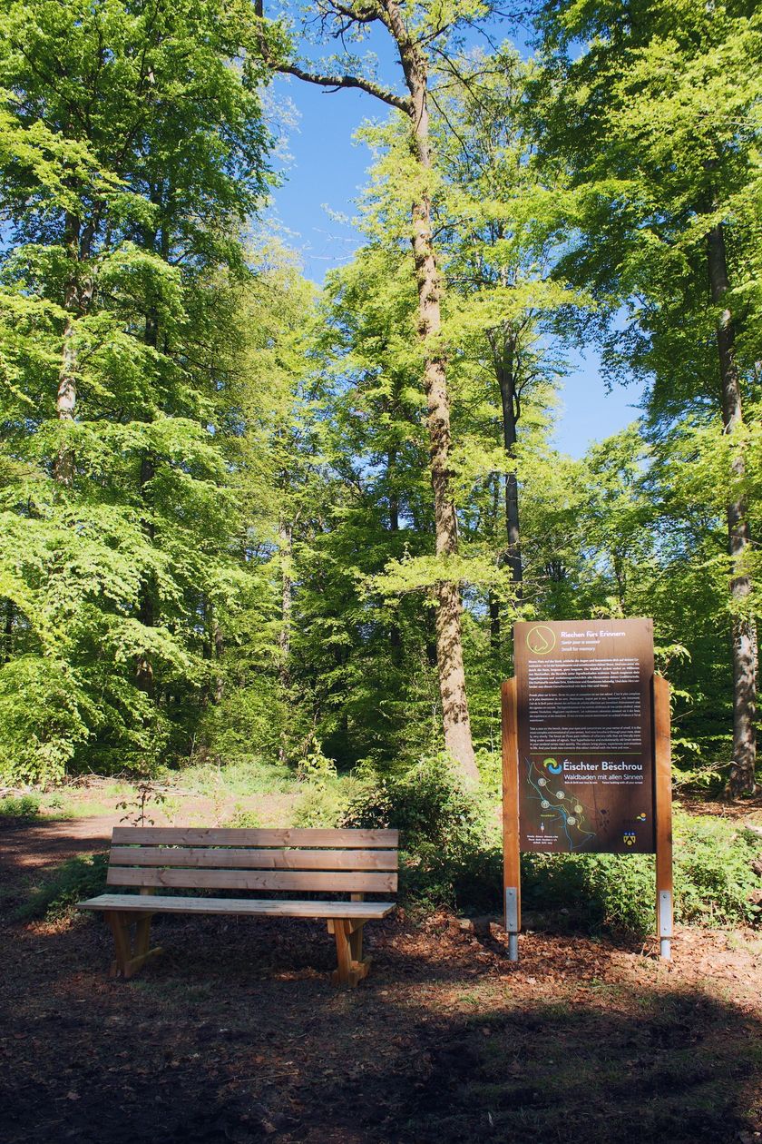
Moeilijkheidsgraad: medium©©Visit Éislek Kinderen & GezinÉischter Bëschrou
Afstand: 4,33 kmMeer informatie
Duur: 1:10 h
Moeilijkheidsgraad: makkelijk©Visit Luxembourg Thematische routesIerelchen Echternach - toegankelijk wandelpad met restricties
Afstand: 3,32 kmMeer informatie
Duur: 0:55 h
Moeilijkheidsgraad: makkelijk©Visit Luxembourg Ierpeldenger Gipswee
Afstand: 5,20 kmMeer informatie
Duur: 1:20 h
Moeilijkheidsgraad: makkelijk©Visit Luxembourg RondwandelroutesSchilderachtigLokale wandelroute BL 4 - Boulaide
Afstand: 7,67 kmMeer informatie
Duur: 2:15 h
Moeilijkheidsgraad: medium©Visit Éislek, Visit Éislek Éislek PiedKinderen & Gezin SchilderachtigÉislek Pad Clervaux
Afstand: 13,68 kmMeer informatie
Duur: 4:05 h
Moeilijkheidsgraad: moeilijk©Pulsa Pictures, ORT SUD Minett TrailMinett Trail: Bergem/Beim Nëssert - Gare Bettembourg
Afstand: 12,01 kmMeer informatie
Duur: 3:05 h
Moeilijkheidsgraad: medium