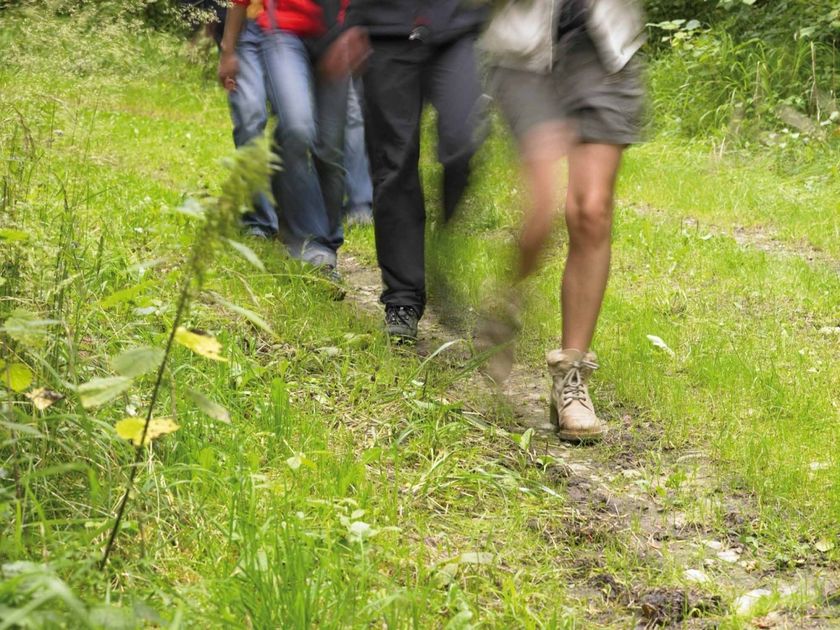
Luxemburg Wandeltochten
Hitte en droogte: help onze natuur te beschermen
Tijdens periodes met hoge temperaturen en aanhoudende droogte neemt het risico op natuur- en bosbranden aanzienlijk toe. Met enkele eenvoudige voorzorgsmaatregelen kan iedereen bijdragen aan de bescherming van onze natuur en bossen.
Lees de aanbevelingen van de Luxemburgse autoriteiten om natuur- en bosbranden te helpen voorkomen.
Wandelroutes in Luxemburg
613 resultaten
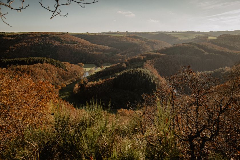
©Visit Éislek, Visit Éislek Éislek PiedSchilderachtigÉislek Pad Tadler
Afstand: 13,44 kmMeer informatie
Duur: 4:18 h
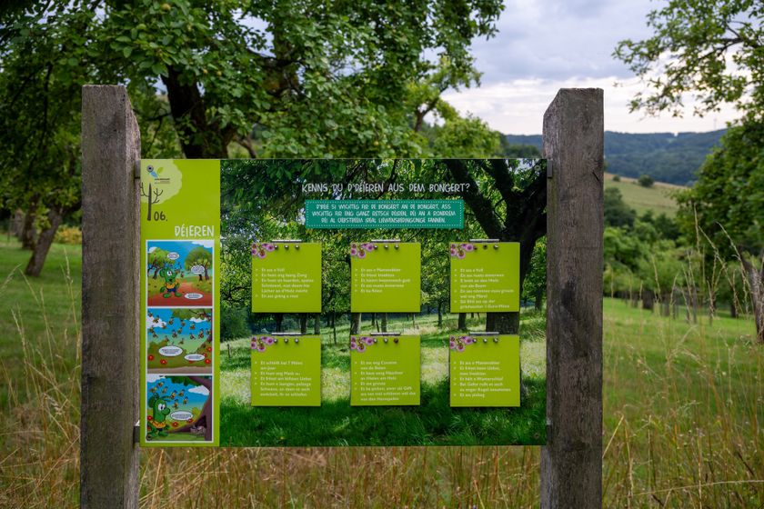
Moeilijkheidsgraad: medium©Visit Éislek Thematische routesKinderen & Gezin SchilderachtigNatuur ontdekking pad Cactusbongert
Afstand: 3,06 kmMeer informatie
Duur: 1:00 h
Moeilijkheidsgraad: medium©Visit Luxembourg RondwandelroutesHondvriendelijkRondwandelroute Roodt-sur-Syre
Afstand: 10,81 kmMeer informatie
Duur: 2:45 h
Moeilijkheidsgraad: medium©Mireille Scheid, Visit Luxembourg RondwandelroutesKinderen & Gezin HondvriendelijkAuto-Pédestre wandelroute Mertzig
Afstand: 8,59 kmMeer informatie
Duur: 2:20 h
Moeilijkheidsgraad: medium©Visit Luxembourg RondwandelroutesSchilderachtigLokale wandelroute CL 4 - Roder
Afstand: 11,79 kmMeer informatie
Duur: 3:40 h
Moeilijkheidsgraad: medium©Alfonso-Salgueiro-Visit-Luxembourg RondwandelroutesSchilderachtigVia Botanica
Afstand: 7,53 kmMeer informatie
Duur: 2:20 h
Moeilijkheidsgraad: medium©ORT Sud RondwandelroutesKinderen & GezinBosnatuurpad Crauthem
Afstand: 6,18 kmMeer informatie
Duur: 1:35 h
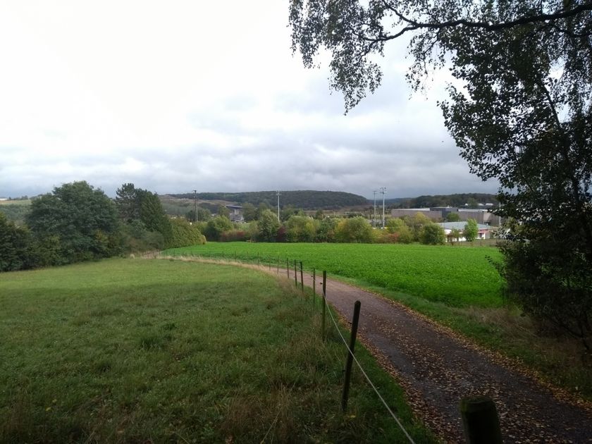
Moeilijkheidsgraad: medium©Visit Luxembourg RondwandelroutesSchilderachtigLokale wandelroute WS 1 - Winseler
Afstand: 4,31 kmMeer informatie
Duur: 1:15 h
Moeilijkheidsgraad: makkelijk©Visit Luxembourg RondwandelroutesLokale wandelroute - J6
Afstand: 9,08 kmMeer informatie
Duur: 2:26 h
Moeilijkheidsgraad: makkelijk©Visit Luxembourg RondwandelroutesAuto-pédestre wandelroute Osweiler
Afstand: 11,83 kmMeer informatie
Duur: 3:05 h
Moeilijkheidsgraad: medium