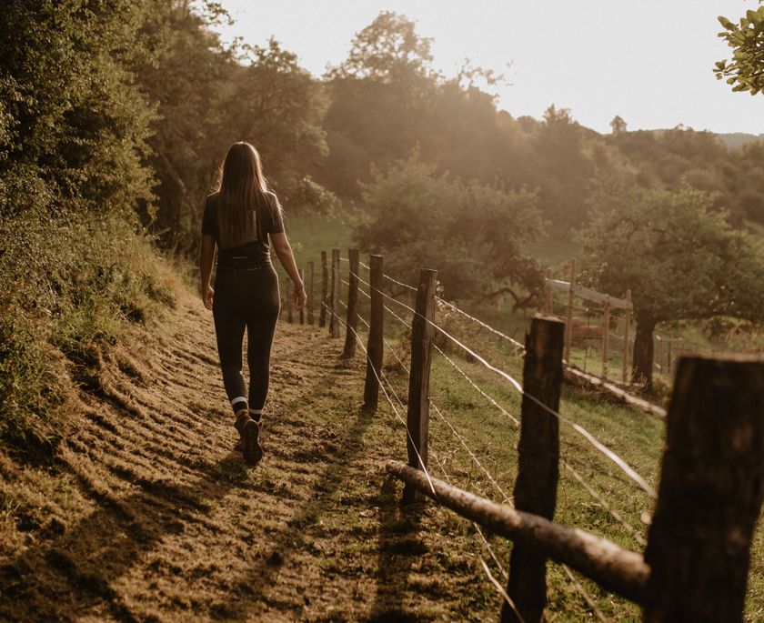
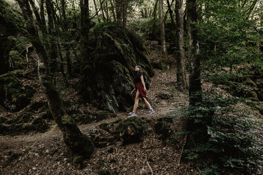
Luxemburg Wandeltochten
Hitte en droogte: help onze natuur te beschermen
Tijdens periodes met hoge temperaturen en aanhoudende droogte neemt het risico op natuur- en bosbranden aanzienlijk toe. Met enkele eenvoudige voorzorgsmaatregelen kan iedereen bijdragen aan de bescherming van onze natuur en bossen.
Lees de aanbevelingen van de Luxemburgse autoriteiten om natuur- en bosbranden te helpen voorkomen.
Wandelroutes in Luxemburg
613 resultaten
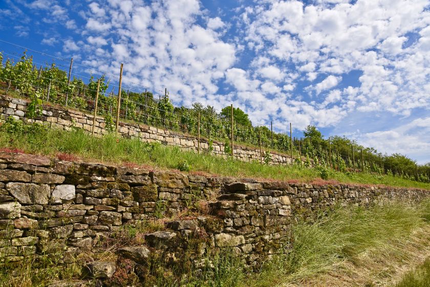
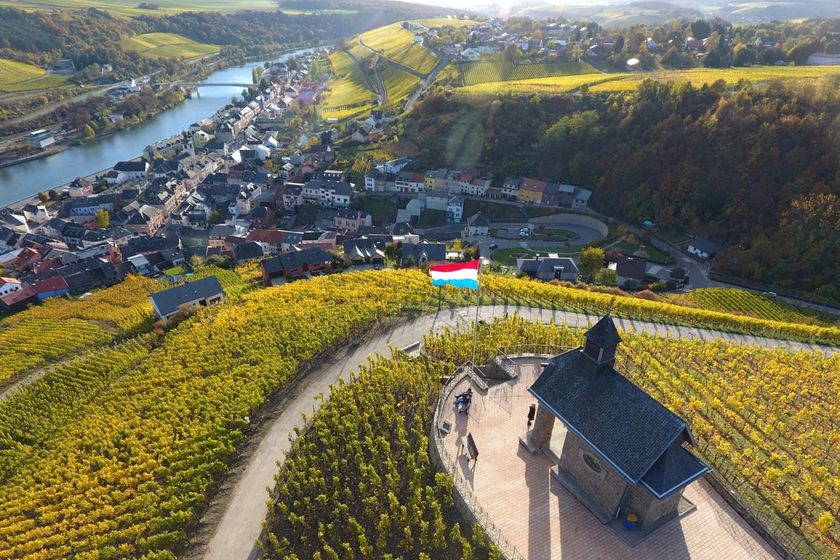
©Laurent Jacquemart, Visit Moselle Thematische routesKanecher Wéngertsbierg
Afstand: 2,89 kmMeer informatie
Duur: 0:45 h
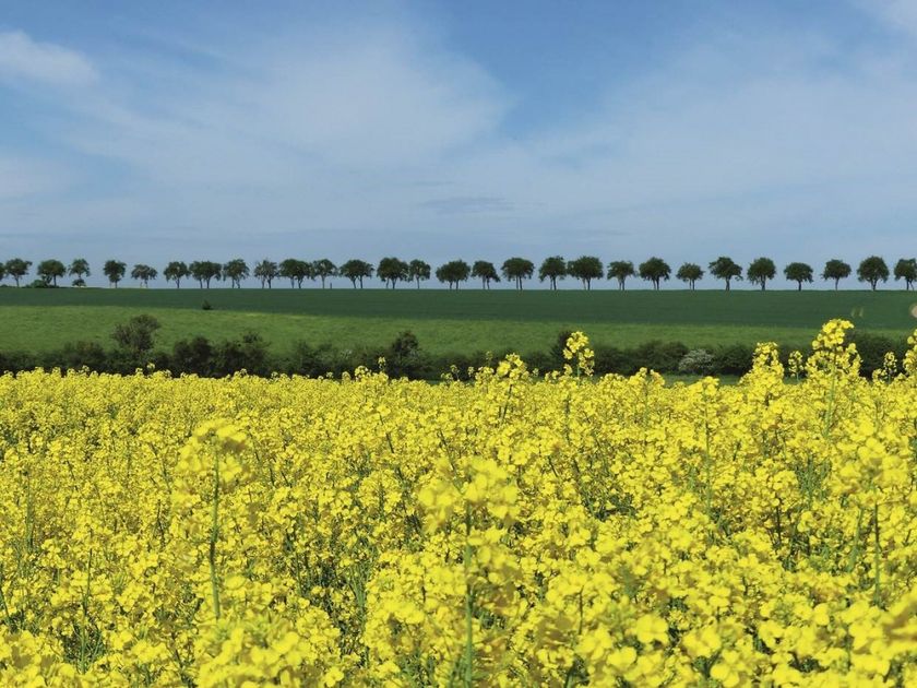
Moeilijkheidsgraad: makkelijk©Visit Luxembourg LangeafstandswandelroutesNationale wandelroute "Schengen-Hellange"
Afstand: 25,65 kmMeer informatie
Duur: 6:45 h
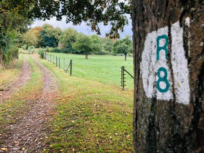
Moeilijkheidsgraad: medium©ORT MPSL, Visit Luxembourg RondwandelroutesLokale wandelroute - R8
Afstand: 8,71 kmMeer informatie
Duur: 2:30 h
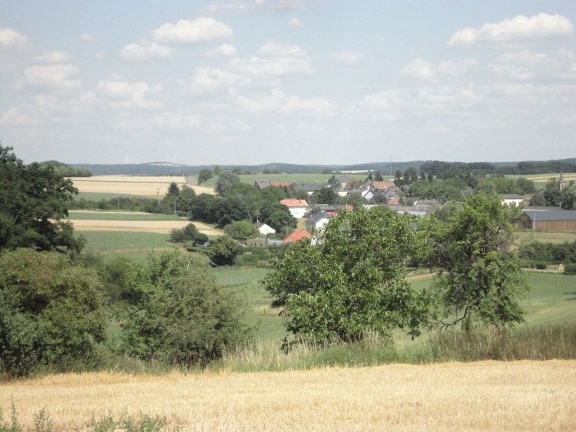
Moeilijkheidsgraad: medium©Visit Luxembourg RondwandelroutesLokale wandelroute - J20
Afstand: 11,01 kmMeer informatie
Duur: 2:59 h
Moeilijkheidsgraad: medium©Visit Éislek, Visit Éislek RondwandelroutesSchilderachtigLokale wandelroute RB 10 - Perlé
Afstand: 14,27 kmMeer informatie
Duur: 4:00 h
Moeilijkheidsgraad: medium©Jeniska Photography, Visit Luxembourg Guttland.TrailsInsider tip Schilderachtig HondvriendelijkGuttland.Trail Déck Lee
Afstand: 5,45 kmMeer informatie
Duur: 1:30 h
Moeilijkheidsgraad: makkelijk©Visit Luxembourg RondwandelroutesSchilderachtigLokale wandelroute BL 4 - Boulaide
Afstand: 7,67 kmMeer informatie
Duur: 2:15 h
Moeilijkheidsgraad: medium©Jeniska Photography, Visit Guttland Guttland.TrailsSchilderachtig HondvriendelijkGuttland.Trail Raschpëtzer
Afstand: 5,87 kmMeer informatie
Duur: 1:50 h
Moeilijkheidsgraad: medium©Carlo Rinnen, Visit Luxembourg RondwandelroutesSchilderachtigRondwandelroute Wormeldange
Afstand: 7,05 kmMeer informatie
Duur: 2:05 h
Moeilijkheidsgraad: medium©Visit Éislek, Visit Éislek RondwandelroutesSchilderachtigLokale wandelroute KI 2 - Kautenbach
Afstand: 6,73 kmMeer informatie
Duur: 2:05 h
Moeilijkheidsgraad: makkelijk