© ORT Éislek
Éislek Germany France

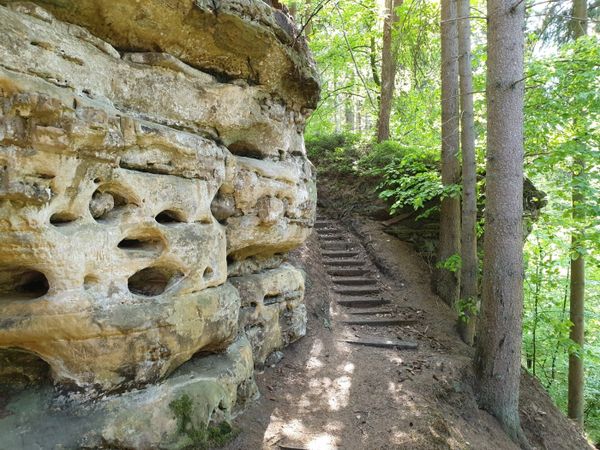
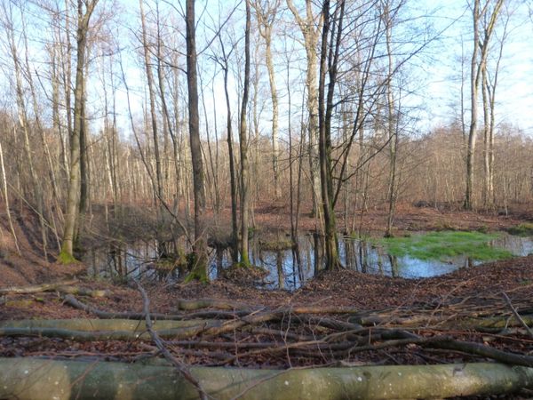
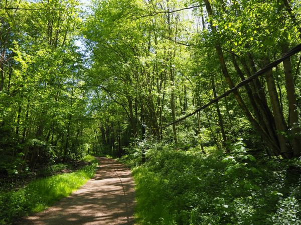
Lokale wandelroute RB 1 - Eschette

Vertrekpunt
Eschette
Bestemming
Eschette
Route
4,33 km
Duur
1:10 h
moeilijkheid
makkelijk
  • Voorwaarde
Hoogste punt
455 Hm
Laagste punt
398 Hm
Beklimming
60 Hm
Herkomst
60 Hm
Rondwandelroutes Visit Luxembourg

Beschrijving

Schilderachtig
Van het ontspannende middagrondje tot de uitdagende wandeltocht, alles is inbegrepen in de Local Hiking Trails.

De plaatselijke wandelroutes zijn gemarkeerd met de afkortingen van de gemeente waar ze beginnen. Hoe groter het getal dat het markeringssymbool bevat, hoe langer de rondwandeling. Bekijk zelf de verscheidenheid aan lokale wandelpaden en de verschillende kenmerken in Éislek.

Hoogtepunten langs de tocht

Lokale wandelroute RB 1 - Eschette

  • © ORT Éislek
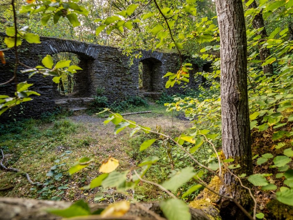
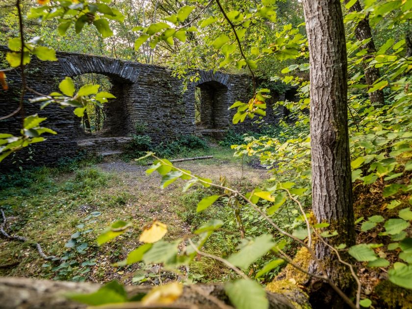
    Kasteel Schorels
    Ontdek de vrij toegankelijke ruïnes van dit middeleeuwse kasteel.
    Meer informatie

Vergelijkbare wandeltochten

© Ville de Differdange, Ville de Differdange
Rondwandelroutes
"Märchewee" Differdange
Afstand: 1,01 km
Duur: 0:45 h
Moeilijkheidsgraad: makkelijk
Meer informatie
© Claude Piscitelli, Visit Luxembourg
Langeafstandswandelroutes
24 Station naar station Belvaux-Soleuvre - Belval-Université
Afstand: 4,17 km
Duur: 1:05 h
Moeilijkheidsgraad: makkelijk
Meer informatie
© CFL, Visit Luxembourg
Langeafstandswandelroutes
31 Station naar station Niederkorn - Bascharage-Sanem
Afstand: 5,28 km
Duur: 1:20 h
Moeilijkheidsgraad: makkelijk
Meer informatie
© CFL, Visit Luxembourg
Langeafstandswandelroutes
33 Station to station Dippach-Reckange - Leudelange
Afstand: 8,52 km
Duur: 2:15 h
Moeilijkheidsgraad: makkelijk
Meer informatie
© Visit Luxembourg
Langeafstandswandelroutes
36 Station naar station Leudelange - Mamer Lycée - Mamer
Afstand: 10,96 km
Duur: 2:45 h
Moeilijkheidsgraad: makkelijk
Meer informatie
© Visit Luxembourg
Langeafstandswandelroutes
40 Station naar station Roodt-Syr - Betzdorf
Afstand: 6,27 km
Duur: 1:36 h
Moeilijkheidsgraad: makkelijk
Meer informatie
© Visit Luxembourg
Langeafstandswandelroutes
42 Station naar station Betzdorf - Manternach
Afstand: 7,40 km
Duur: 1:55 h
Moeilijkheidsgraad: makkelijk
Meer informatie
© ORT Sud
Thematische routes
Astronomisch pas "De Saturn"
Afstand: 4,10 km
Duur: 1:05 h
Moeilijkheidsgraad: makkelijk
Meer informatie
© ORT Sud
Rondwandelroutes
Auto-Pédestre Rondwandelroute Clemency I
Afstand: 11,36 km
Duur: 3:05 h
Moeilijkheidsgraad: makkelijk
Meer informatie