Luxembourg City Éislek Müllerthal Mosel Minett Guttland Germany France

Guttland.Trail Bildchen

Vertrekpunt

Kerk in Rollingen

Bestemming

Kerk in Rollingen

Route

6,24 km

Duur

2:10 h

moeilijkheid

medium

  • Voorwaarde
  • Techniek

Hoogste punt

204 Hm

Laagste punt

204 Hm

Guttland.Trails Visit Guttland

Beschrijving

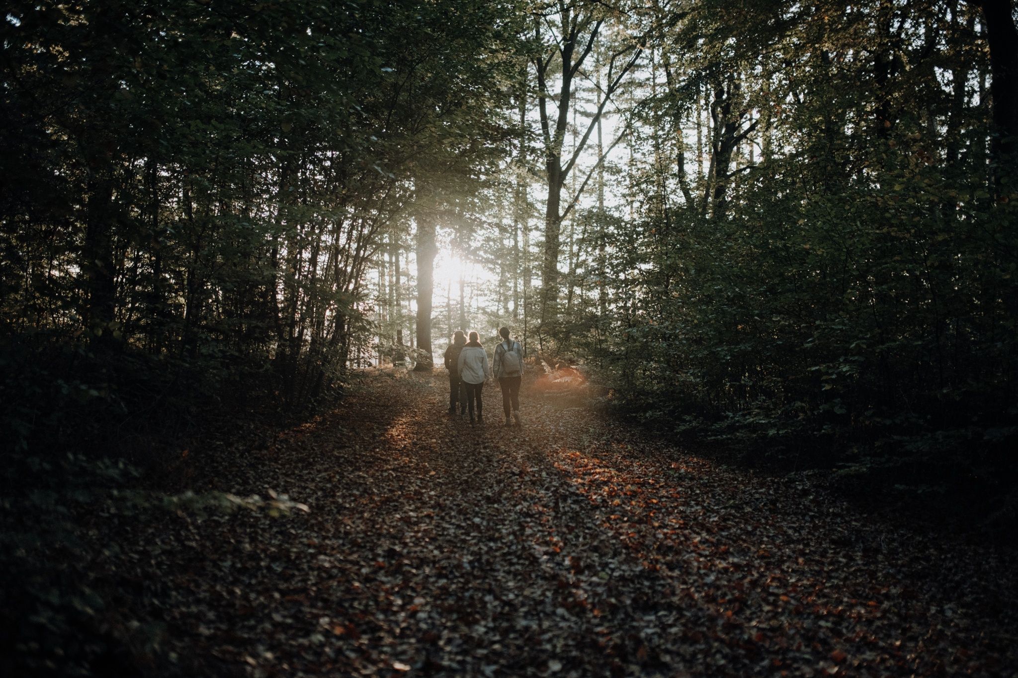
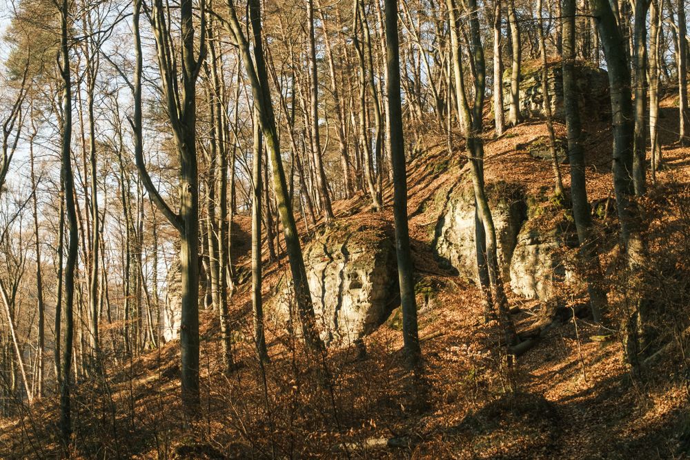
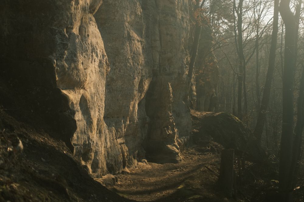
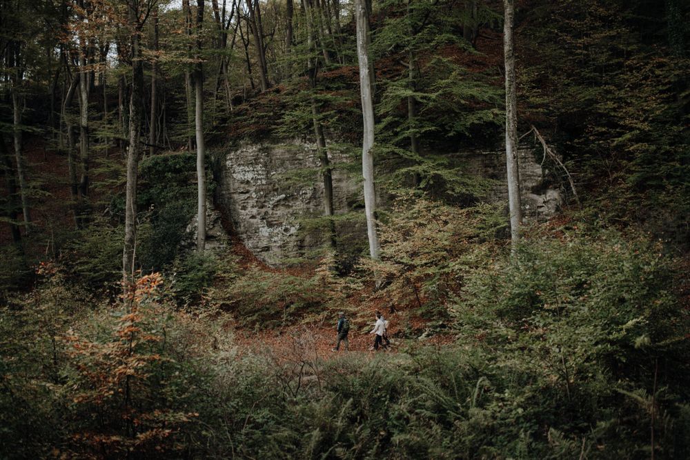
Een divers landschap in elk seizoen.

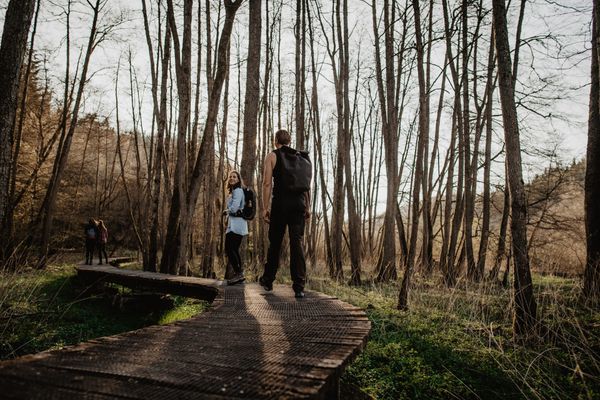
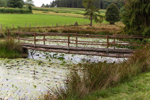
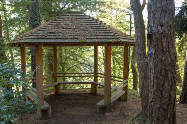
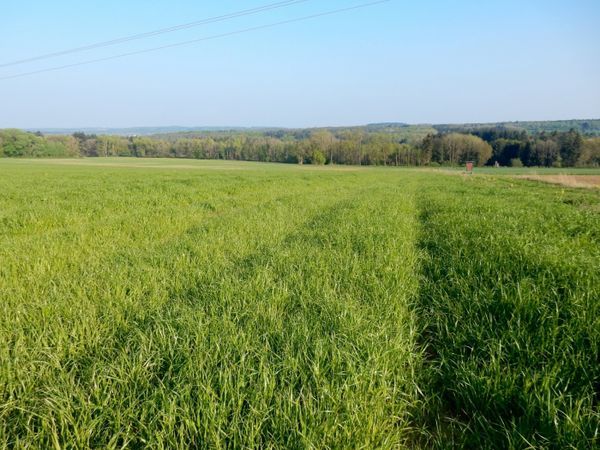
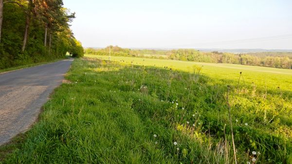
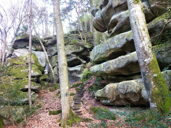
Een pad dicht bij de natuur biedt unieke rotsformaties en leidt door prachtige bossen, die in elk seizoen betoveren met hun bijzondere charme. Naast het lokale recreatiegebied "Dräiburen" en de grot van de Heilige Maagd, genoemd "Bildchen", maakt de tocht indruk met zijn veelzijdige landschappen.

voor rondreizen
guttlandtrail-bildchen gpx
Alle foto's tonen

Hoogtepunten langs de tocht

Guttland.Trail Bildchen

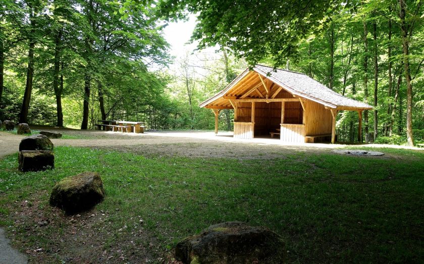
  • Rollingen - Dreibouren 22.05.2017 © ORTCO (10)

    Waar? Rue Bildchen, L-7518 Dreibour

    Recreatiegebied Dreibouren

    Recreatiegebied Dreibouren

    Meer informatie
    www.visitluxembourg.com

Vergelijkbare wandeltochten

Langeafstandswandelroutes
21 Station naar station Bettembourg - Dudelange-Burange

Afstand: 14,66 km
Duur: 3:45 h
Moeilijkheidsgraad: medium

Meer informatie
www.visitluxembourg.com
Langeafstandswandelroutes
22 Station naar station Dudelange - Burange - Rumelange

Afstand: 10,22 km
Duur: 3:05 h
Moeilijkheidsgraad: medium

Meer informatie
www.visitluxembourg.com
Langeafstandswandelroutes
23 Station naar station Rumelange - Kayl

Afstand: 12,57 km
Duur: 3:25 h
Moeilijkheidsgraad: medium

Meer informatie
www.visitluxembourg.com
Langeafstandswandelroutes
25 Station naar station Kayl - Schifflange - Esch-sur-Alzette

Afstand: 21,71 km
Duur: 6:05 h
Moeilijkheidsgraad: medium

Meer informatie
www.visitluxembourg.com
Langeafstandswandelroutes
26 Station naar station Esch-sur-Alzette - Belvaux-Soleuvre

Afstand: 9,05 km
Duur: 2:30 h
Moeilijkheidsgraad: medium

Meer informatie
www.visitluxembourg.com
Langeafstandswandelroutes
27 Station naar station Belvaux-Soleuvre-Oberkorn

Afstand: 5,20 km
Duur: 1:25 h
Moeilijkheidsgraad: medium

Meer informatie
www.visitluxembourg.com
Langeafstandswandelroutes
28 Station naar station Oberkorn - Niederkorn

Afstand: 8,69 km
Duur: 2:25 h
Moeilijkheidsgraad: medium

Meer informatie
www.visitluxembourg.com
Langeafstandswandelroutes
29 Station naar station Niederkorn - Rodange

Afstand: 10,12 km
Duur: 2:55 h
Moeilijkheidsgraad: medium

Meer informatie
www.visitluxembourg.com
Langeafstandswandelroutes
30 Station naar station Oberkorn - Fond de Gras - Rodange

Afstand: 17,78 km
Duur: 5:00 h
Moeilijkheidsgraad: medium

Meer informatie
www.visitluxembourg.com
outdooractive Deze website maakt gebruik van technologie en inhoud van het Outdooractive Platform.