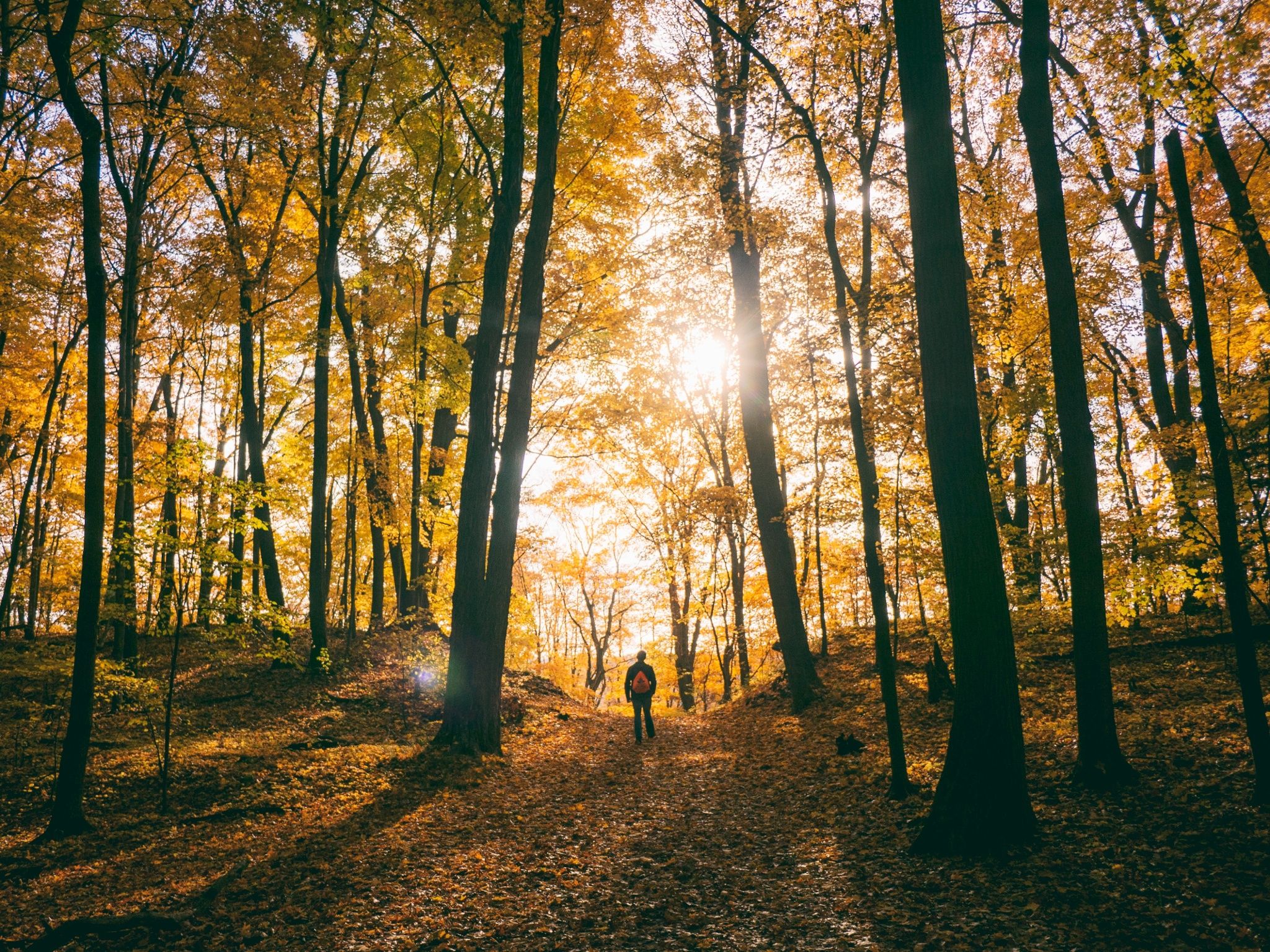
© L. Schömer, Visit Luxembourg
Guttland Germany France

Rondwandelroute Kopstal

Route
9,61 km
Duur
2:50 h
moeilijkheid
medium
  • Voorwaarde
Hoogste punt
385 Hm
Laagste punt
254 Hm
Beklimming
135 Hm
Herkomst
135 Hm

Hoogtepunten langs de tocht

Rondwandelroute Kopstal

  • © Marc Lazzarini
    Auberge Weidendall
    WifiParkingRestaurant

Vergelijkbare wandeltochten

© Visit Luxembourg
Langeafstandswandelroutes
21 Station naar station Bettembourg - Dudelange-Burange
Afstand: 14,66 km
Duur: 3:45 h
Moeilijkheidsgraad: medium
Meer informatie
© CFL, Visit Luxembourg
Langeafstandswandelroutes
22 Station naar station Dudelange - Burange - Rumelange
Afstand: 10,22 km
Duur: 3:05 h
Moeilijkheidsgraad: medium
Meer informatie
© ORT Sud
Langeafstandswandelroutes
23 Station naar station Rumelange - Kayl
Afstand: 12,57 km
Duur: 3:25 h
Moeilijkheidsgraad: medium
Meer informatie
© Visit Luxembourg
Langeafstandswandelroutes
25 Station naar station Kayl - Schifflange - Esch-sur-Alzette
Afstand: 21,71 km
Duur: 6:05 h
Moeilijkheidsgraad: medium
Meer informatie
© Pulsa Pictures, ORT SUD
Langeafstandswandelroutes
26 Station naar station Esch-sur-Alzette - Belvaux-Soleuvre
Afstand: 9,05 km
Duur: 2:30 h
Moeilijkheidsgraad: medium
Meer informatie
© Visit Luxembourg
Langeafstandswandelroutes
27 Station naar station Belvaux-Soleuvre-Oberkorn
Afstand: 5,20 km
Duur: 1:25 h
Moeilijkheidsgraad: medium
Meer informatie
© ORT Sud
Langeafstandswandelroutes
28 Station naar station Oberkorn - Niederkorn
Afstand: 8,69 km
Duur: 2:25 h
Moeilijkheidsgraad: medium
Meer informatie
© ORT Sud
Langeafstandswandelroutes
29 Station naar station Niederkorn - Rodange
Afstand: 10,12 km
Duur: 2:55 h
Moeilijkheidsgraad: medium
Meer informatie
© Visit Luxembourg
Langeafstandswandelroutes
30 Station naar station Oberkorn - Fond de Gras - Rodange
Afstand: 17,78 km
Duur: 5:00 h
Moeilijkheidsgraad: medium
Meer informatie