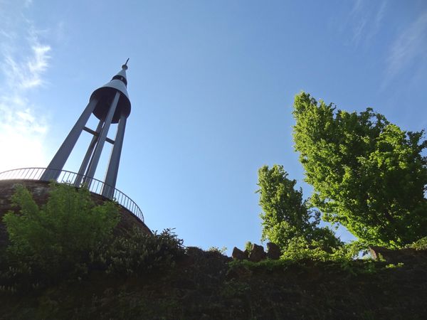
© Visit Éislek, Visit Éislek
Éislek Germany France

Lokale wandelroute RB 9 - Bigonville

Vertrekpunt
Bigonville (N23)
Bestemming
Bigonville (N23)
Route
9,77 km
Duur
2:35 h
moeilijkheid
medium
  • Voorwaarde
Hoogste punt
513 Hm
Laagste punt
372 Hm
Beklimming
150 Hm
Herkomst
150 Hm
Rondwandelroutes Visit Luxembourg

Beschrijving

Schilderachtig
Van het ontspannende middagrondje tot de uitdagende wandeltocht, alles is inbegrepen in de Local Hiking Trails.

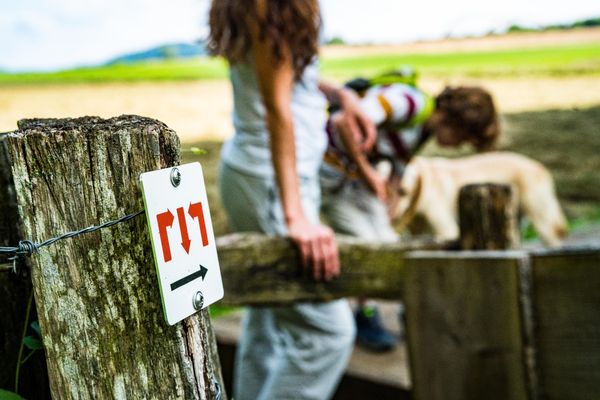
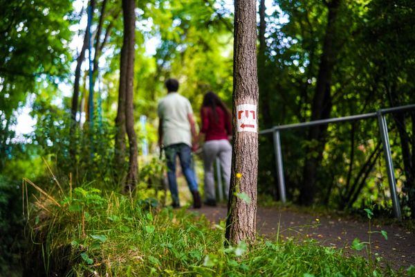
De plaatselijke wandelroutes zijn gemarkeerd met de afkortingen van de gemeente waar ze beginnen. Hoe groter het getal dat het markeringssymbool bevat, hoe langer de rondwandeling. Bekijk zelf de verscheidenheid aan lokale wandelpaden en de verschillende kenmerken in Éislek.

Vergelijkbare wandeltochten

© Visit Luxembourg
Langeafstandswandelroutes
21 Station naar station Bettembourg - Dudelange-Burange
Afstand: 14,66 km
Duur: 3:45 h
Moeilijkheidsgraad: medium
Meer informatie
© CFL, Visit Luxembourg
Langeafstandswandelroutes
22 Station naar station Dudelange - Burange - Rumelange
Afstand: 10,22 km
Duur: 3:05 h
Moeilijkheidsgraad: medium
Meer informatie
© ORT Sud
Langeafstandswandelroutes
23 Station naar station Rumelange - Kayl
Afstand: 12,57 km
Duur: 3:25 h
Moeilijkheidsgraad: medium
Meer informatie
© Claude Piscitelli, Visit Luxembourg
Langeafstandswandelroutes
24 Station naar station Belvaux-Soleuvre - Belval-Université
Afstand: 4,17 km
Duur: 1:05 h
Moeilijkheidsgraad: medium
Meer informatie
© Visit Luxembourg
Langeafstandswandelroutes
25 Station naar station Kayl - Schifflange - Esch-sur-Alzette
Afstand: 21,71 km
Duur: 6:05 h
Moeilijkheidsgraad: medium
Meer informatie
© Pulsa Pictures, ORT SUD
Langeafstandswandelroutes
26 Station naar station Esch-sur-Alzette - Belvaux-Soleuvre
Afstand: 9,05 km
Duur: 2:30 h
Moeilijkheidsgraad: medium
Meer informatie
© Visit Luxembourg
Langeafstandswandelroutes
27 Station naar station Belvaux-Soleuvre-Oberkorn
Afstand: 5,20 km
Duur: 1:25 h
Moeilijkheidsgraad: medium
Meer informatie
© ORT Sud
Langeafstandswandelroutes
28 Station naar station Oberkorn - Niederkorn
Afstand: 8,69 km
Duur: 2:25 h
Moeilijkheidsgraad: medium
Meer informatie
© ORT Sud
Langeafstandswandelroutes
29 Station naar station Niederkorn - Rodange
Afstand: 10,12 km
Duur: 2:55 h
Moeilijkheidsgraad: medium
Meer informatie