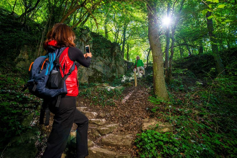
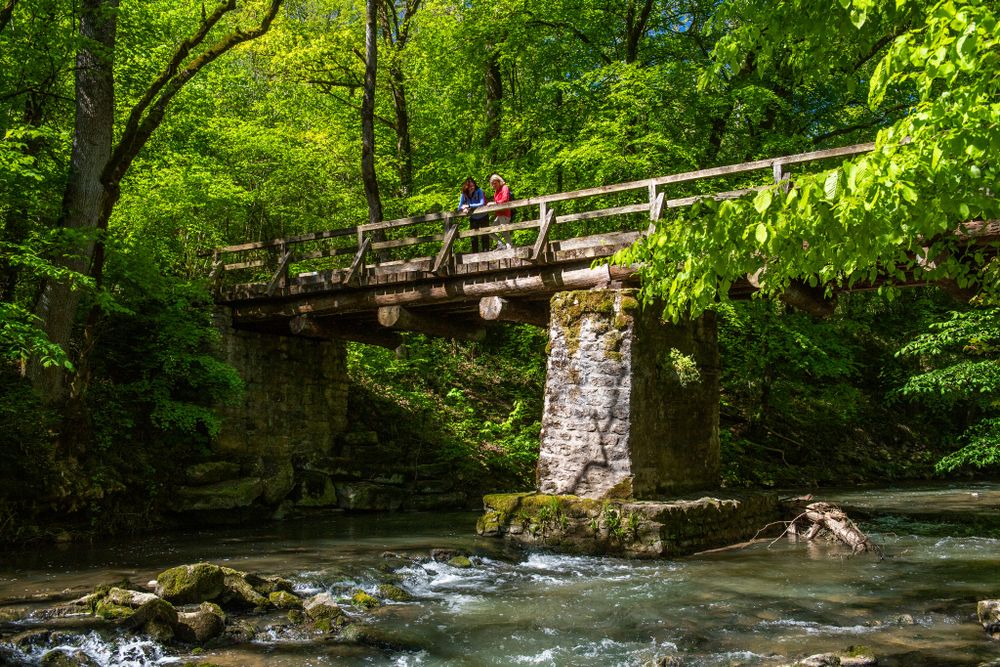
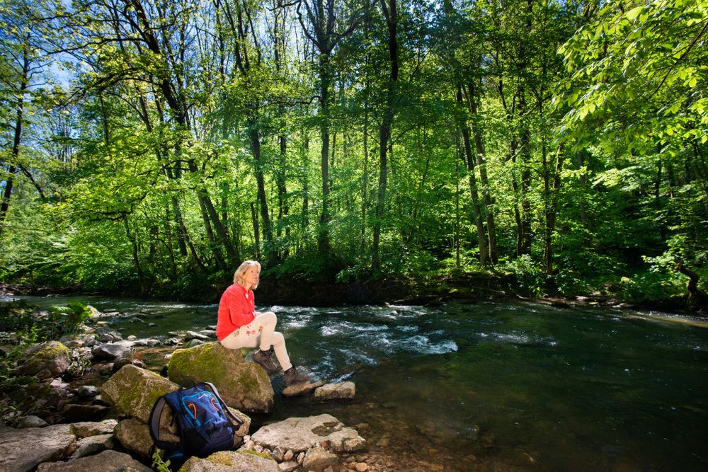
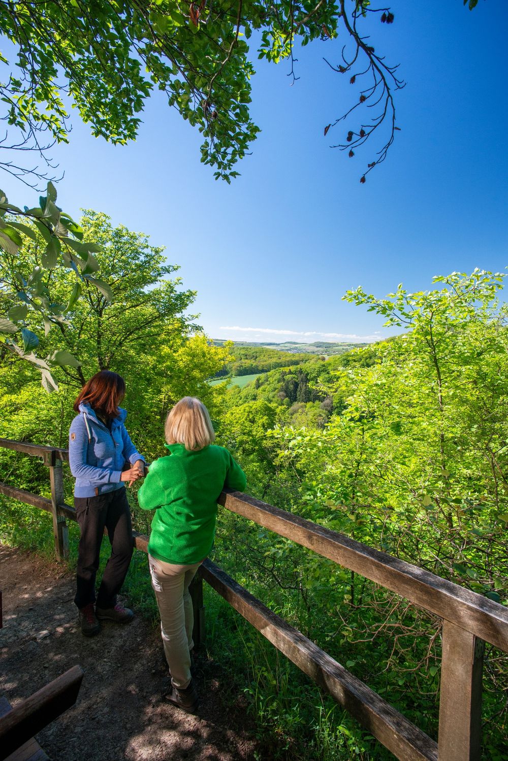
© Visit Luxembourg
Mosel Germany France

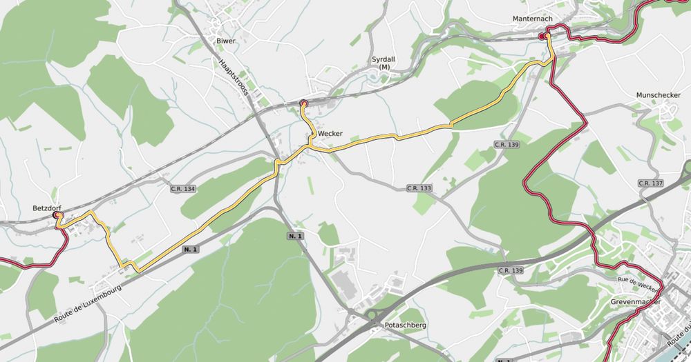
42 Station naar station Betzdorf - Manternach

Vertrekpunt

Station Betzdorf

Bestemming

Station Manternach

Route
7,40 km
Duur
1:55 h
moeilijkheid
makkelijk
  • Voorwaarde
Hoogste punt
273 Hm
Laagste punt
194 Hm
Beklimming
103 Hm
Herkomst
134 Hm
Langeafstandswandelroutes Visit Luxembourg

Beschrijving

42 Station naar station Betzdorf - Manternach

Vertrek: station Betzdorf

Hoogtepunten langs de tocht

42 Station naar station Betzdorf - Manternach

  • © Pancake! Photographie
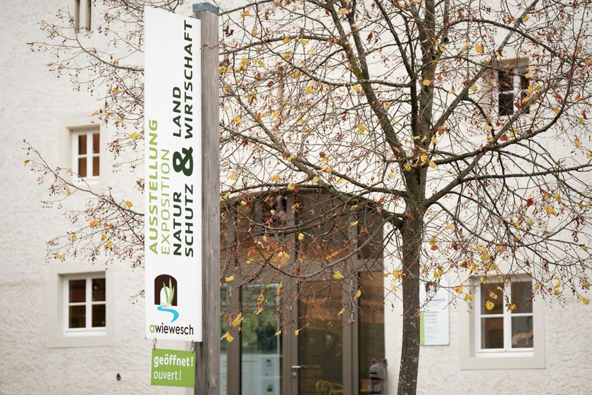
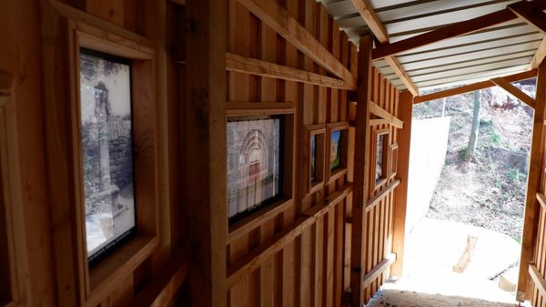
    Natuurreservaat "Manternacher Fiels" - A Wiewesch
    Natuurreservaat "Manternacher Fiels" - A Wiewesch
    Meer informatie

Vergelijkbare wandeltochten

© Visit Luxembourg
Rondwandelroutes
Auto-Pédestre wandelroute Tadler
Afstand: 4,57 km
Duur: 1:30 h
Moeilijkheidsgraad: makkelijk
Meer informatie
© Fränk Weber, Studio Frank Weber
Rondwandelroutes
Auto-Pédestre wandelroute Bourscheid
Afstand: 5,88 km
Duur: 2:00 h
Moeilijkheidsgraad: makkelijk
Meer informatie
© Visit Luxembourg
Rondwandelroutes
Auto-Pédestre wandelroute Surré
Afstand: 6,21 km
Duur: 1:45 h
Moeilijkheidsgraad: makkelijk
Meer informatie
© Fernand Morbach, Visit Luxembourg
Rondwandelroutes
Bësch Tour - RE1
Afstand: 7,63 km
Duur: 2:00 h
Moeilijkheidsgraad: makkelijk
Meer informatie
© Visit Luxembourg
Rondwandelroutes
Circular walk Machtum E
Afstand: 3,11 km
Duur: 0:57 h
Moeilijkheidsgraad: makkelijk
Meer informatie
© Visit Luxembourg
Circular walk "
Afstand: 1,03 km
Duur: 0:17 h
Moeilijkheidsgraad: makkelijk
Meer informatie
© Visit Luxembourg
Rondwandelroutes
Circuit van de Crosnière
Afstand: 3,74 km
Duur: 1:05 h
Moeilijkheidsgraad: makkelijk
Meer informatie
© Visit Luxembourg
Rondwandelroutes
Lokale wandelroute - F3
Afstand: 2,69 km
Duur: 0:50 h
Moeilijkheidsgraad: makkelijk
Meer informatie
© Ninon Sitz, Visit Luxembourg
Rondwandelroutes
Heedbaach Tour - RE2
Afstand: 3,48 km
Duur: 0:50 h
Moeilijkheidsgraad: makkelijk
Meer informatie