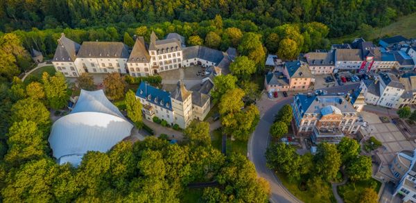
© Visit Luxembourg
Müllerthal Germany France

Auto-pédestre wandelroute Echternach Centre

Vertrekpunt
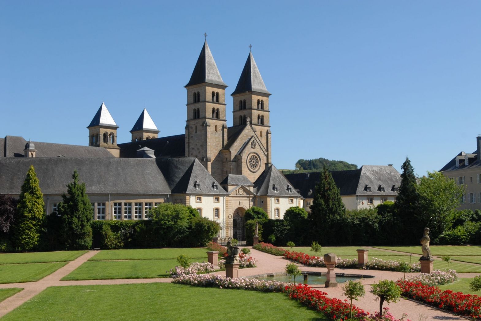
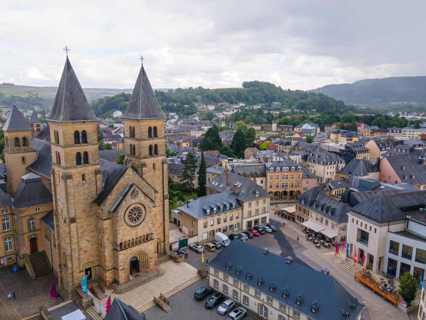
Echternach: basiliek
Bestemming
Echternach: basiliek
Route
6,88 km
Duur
2:01 h
moeilijkheid
medium
  • Voorwaarde
  • Techniek
Hoogste punt
295 Hm
Laagste punt
157 Hm
Beklimming
140 Hm
Herkomst
140 Hm
Rondwandelroutes Visit Luxembourg

Beschrijving

Stop voor verfrissingen
Vanwege bosbouwwerkzaamheden op de Aesbaach het Auto-Pédestre Echternach Centrum zal gesloten zijn van 22.04. tot waarschijnlijk 08.05.!


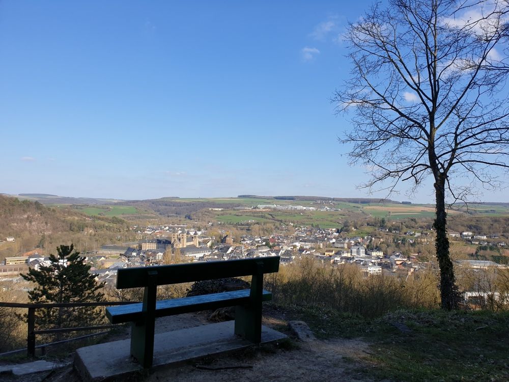
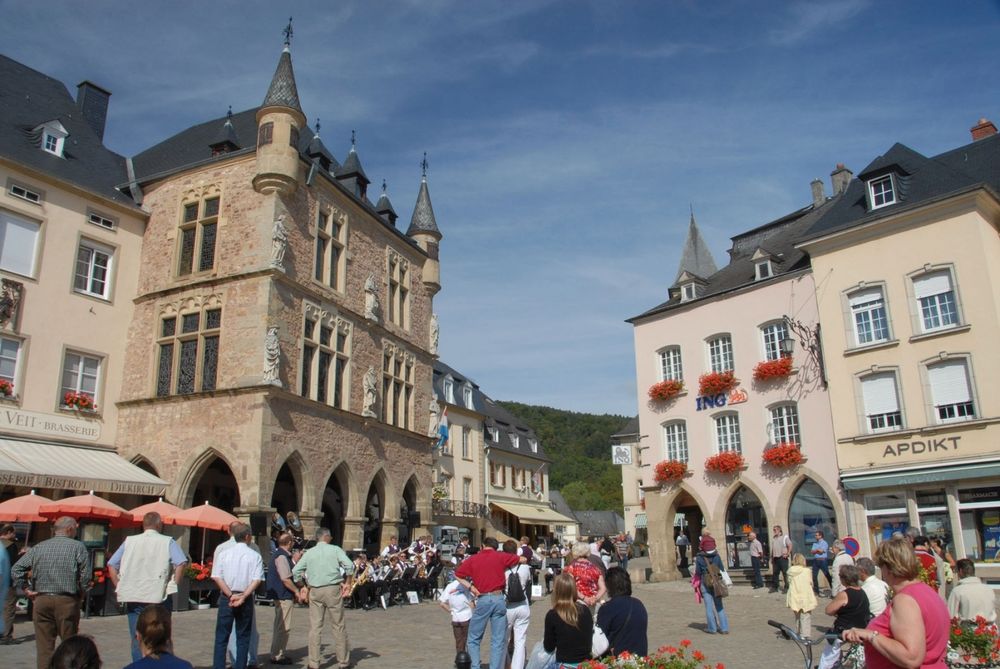
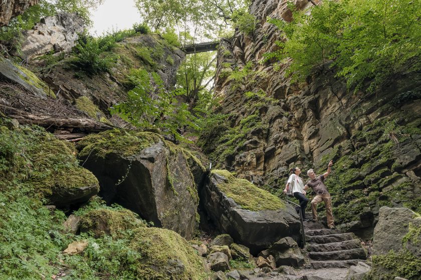
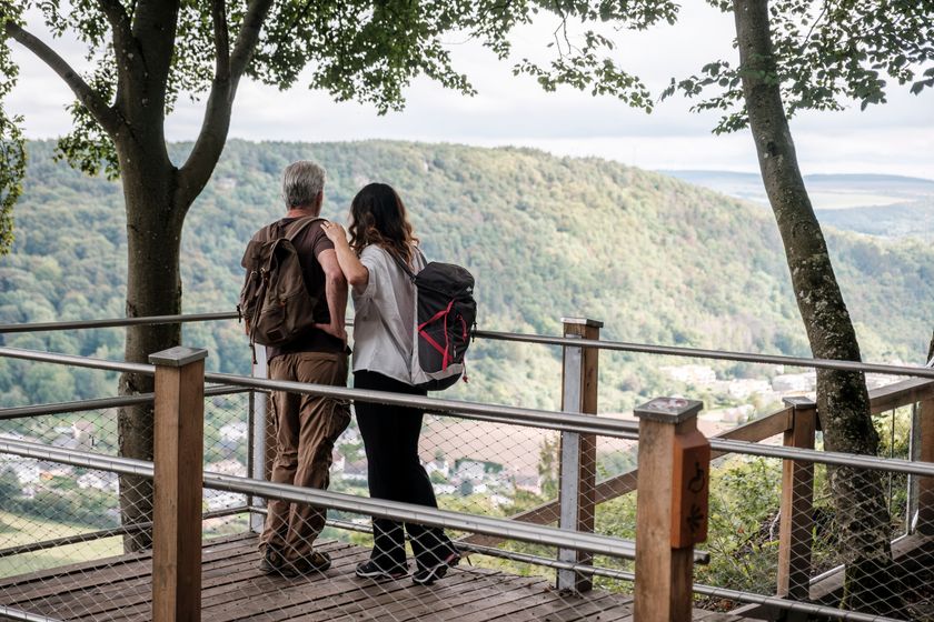
Deze rondwandeling combineert de flair van de oude binnenstad van Echternach, imposante rotsformaties, rustieke bossen en ontspanning aan de oevers van de Sûre.

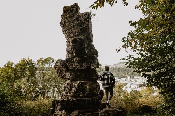
After climbing the Trooskneppchen and following the international “Sentier Ardennes-Eifel” trail through the Wollefsschlucht, descend into the valley of the Aesbech to the banks of the Sûre.


Actuele waarschuwingen

Bron: Visit Luxembourg, Gepubliceerd: 2024-04-22
AP Echternach 2 en lokale wandelpaden E1 en E4 gesloten vanwege veiligheidswerkzaamheden
Blokkering:

Beste wandelaars, de Auto - Pédestre wandelroute Echternach 2 / Centre en de twee lokale wandelroutes E1 en E4 zijn gesloten vanwege veiligheidswerkzaamheden.

Wij verontschuldigen ons voor het ongemak veroorzaakt.

Hoogtepunten langs de tocht

Auto-pédestre wandelroute Echternach Centre

  • © Pancake! Photographie
    Rotsformatie "Wollefsschlucht"
    Imposante rotsachtige kloof met rotswanden die tot 50 meter de lucht in reiken.
    Meer informatie
  • © Pancake! Photographie
    Picknickplaats Paulsplatte
    Picknickplaats Paulsplatte
    Meer informatie

Vergelijkbare wandeltochten

© © Wanderbüro Saar-Hunsrück, Klaus-Peter Kappest, SaarSchleifenLand
Premiumroute Droomlussen
"Traumschleife" Schengen zonder grenzen
Afstand: 8,54 km
Duur: 3:30 h
Moeilijkheidsgraad: medium
Meer informatie
© Visit Luxembourg
Langeafstandswandelroutes
21 Station naar station Bettembourg - Dudelange-Burange
Afstand: 14,66 km
Duur: 3:45 h
Moeilijkheidsgraad: medium
Meer informatie
© CFL, Visit Luxembourg
Langeafstandswandelroutes
22 Station naar station Dudelange - Burange - Rumelange
Afstand: 10,22 km
Duur: 3:05 h
Moeilijkheidsgraad: medium
Meer informatie
© ORT Sud
Langeafstandswandelroutes
23 Station naar station Rumelange - Kayl
Afstand: 12,57 km
Duur: 3:25 h
Moeilijkheidsgraad: medium
Meer informatie
© Visit Luxembourg
Langeafstandswandelroutes
25 Station naar station Kayl - Schifflange - Esch-sur-Alzette
Afstand: 21,71 km
Duur: 6:05 h
Moeilijkheidsgraad: medium
Meer informatie
© Pulsa Pictures, ORT SUD
Langeafstandswandelroutes
26 Station naar station Esch-sur-Alzette - Belvaux-Soleuvre
Afstand: 9,05 km
Duur: 2:30 h
Moeilijkheidsgraad: medium
Meer informatie
© Visit Luxembourg
Langeafstandswandelroutes
27 Station naar station Belvaux-Soleuvre-Oberkorn
Afstand: 5,20 km
Duur: 1:25 h
Moeilijkheidsgraad: medium
Meer informatie
© ORT Sud
Langeafstandswandelroutes
28 Station naar station Oberkorn - Niederkorn
Afstand: 8,69 km
Duur: 2:25 h
Moeilijkheidsgraad: medium
Meer informatie
© ORT Sud
Langeafstandswandelroutes
29 Station naar station Niederkorn - Rodange
Afstand: 10,12 km
Duur: 2:55 h
Moeilijkheidsgraad: medium
Meer informatie