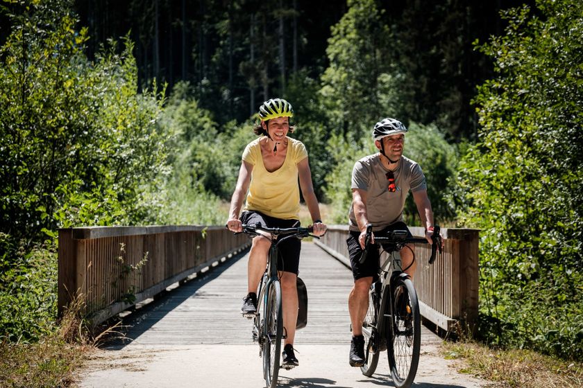
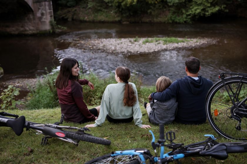
Luxembourg Cycling
Heat and drought: help us protect nature
During periods of high temperatures and prolonged dry weather, the risk of vegetation and forest fires increases significantly. By following a few simple precautionary measures, everyone can help protect our natural landscapes and forests.
Read the recommendations issued by the Luxembourg authorities to help prevent vegetation and forest fires.
Biking map
pdf | 8.63 MBDownload - Biking map | pdf | 8.63 MBThe foldable biking map includes a geographic orientation of the country’s cycle paths as well as useful information about the activity. It provides an overview of the main cycling options in Luxembourg, with guidance on where to find more specific information. One map in four languages (DE, FR, EN, NL).

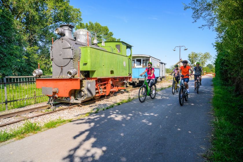
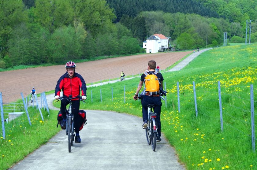
131 results
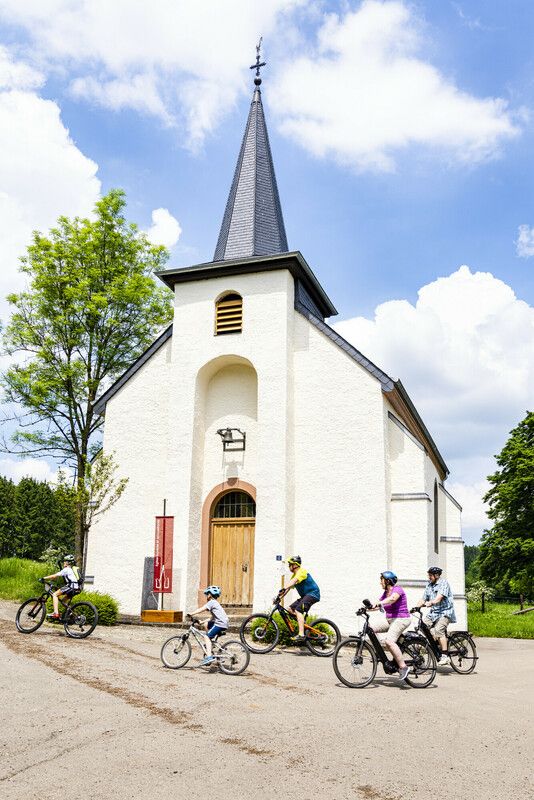
©Visit Luxembourg Cycling ToursScenic"Looss d'Kierch am Duerf" Troisvierges - Holler
Distance: 28,63 kmFind out more
Duration: 2:10 h
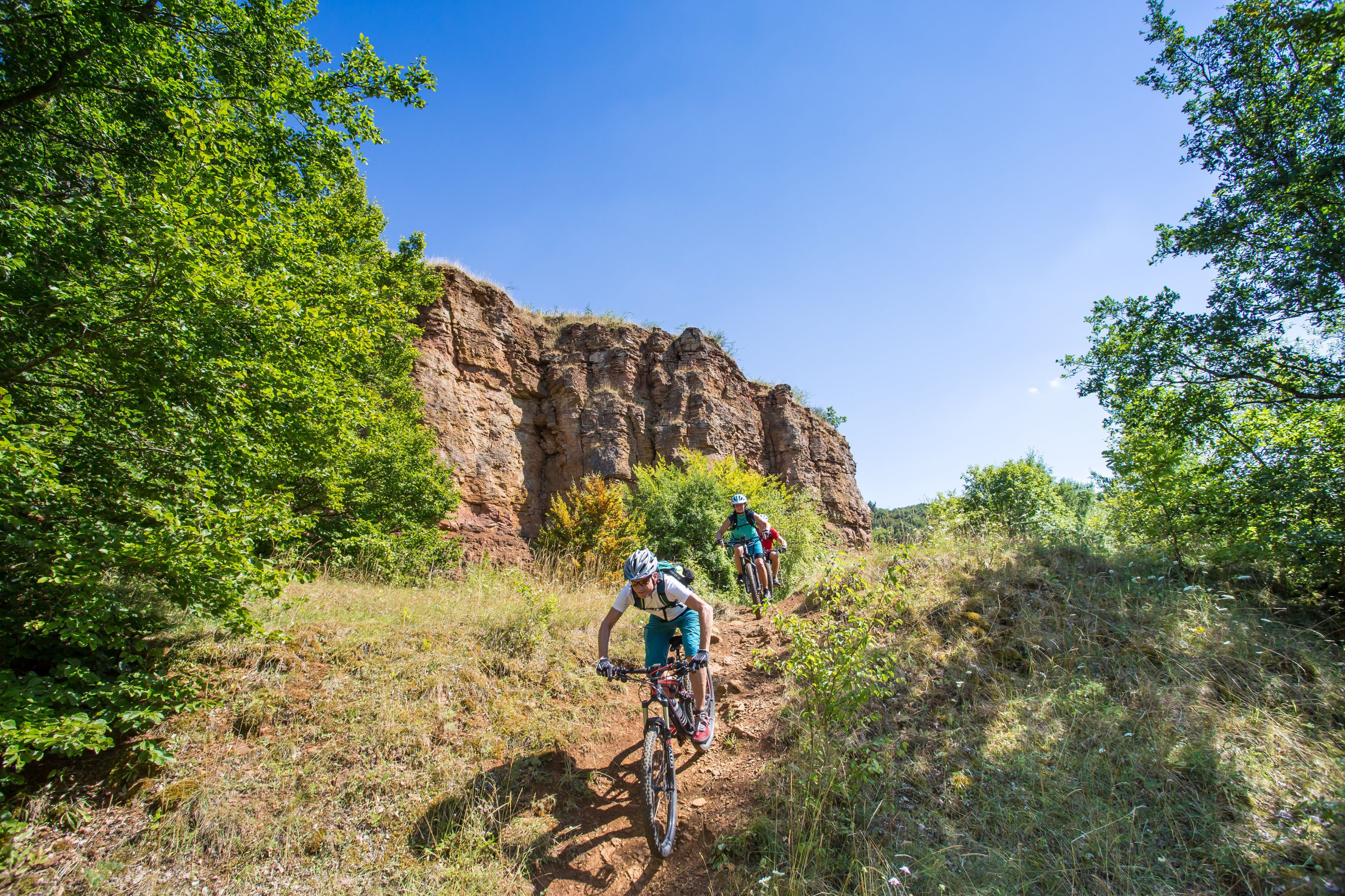
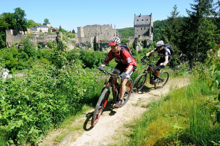
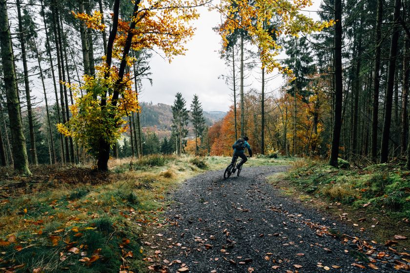
Difficulty: medium©© Ronald Jacobs / ONT, Visit Luxembourg MountainbikeMountain bike route Larochette
Distance: 26,78 kmFind out more
Duration: 4:00 h
Difficulty: difficult©Visit Luxembourg Cycling ToursJhangeli West Tour (11 km)
Distance: 10,95 kmFind out more
Duration: 0:45 h
Difficulty: easy©Visit Luxembourg Charly Gaul cycle route (PC 11)
Distance: 8,92 kmFind out more
Duration: 0:35 h
Difficulty: medium©Vincent Frasiak, Visit Luxembourg MountainbikeScenicMountain bike route Wiltz 1
Distance: 25,29 kmFind out more
Duration: 3:05 h
Difficulty: medium©ORT Sud ScenicTrois Cantons Cycle Path (PC 6)
Distance: 55,94 kmFind out more
Duration: 4:00 h
Difficulty: medium©Visit Éislek, Visit Luxembourg Scenic(H2) VëloViaNorden Boucle Wincrange - 15.08 + 16.08 - Vëlosummer 2026
Distance: 92,68 kmFind out more
Duration: 7:30 h
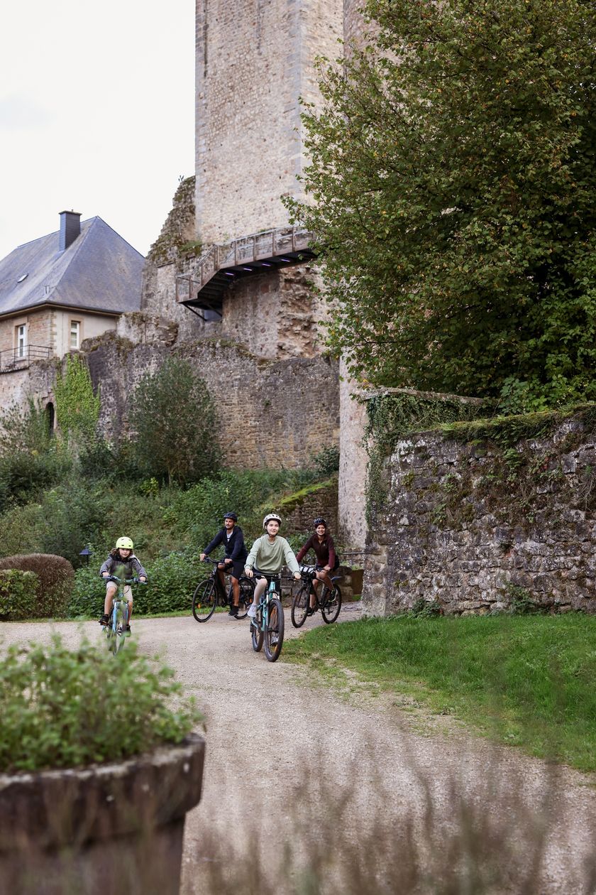
Difficulty: difficult©Sophie Margue, Visit Luxembourg Cycling ToursKids & Family ScenicSlow Cycling Guttland - Sunseeker Tour
Distance: 13,43 kmFind out more
Duration: 1:05 h
Difficulty: easy©ORT MPSL/Pancake! Photographie, ORT MPSL/Pancake! Photographie Kids & FamilyErnz Blanche cycle route (PC 5)
Distance: 13,01 kmFind out more
Duration: 1:00 h
Difficulty: easy©Sophie Margue, Visit Luxembourg Cycling ToursKids & Family ScenicSlow Cycling Guttland - Flow and Pedal
Distance: 16,62 kmFind out more
Duration: 1:30 h
Difficulty: easy
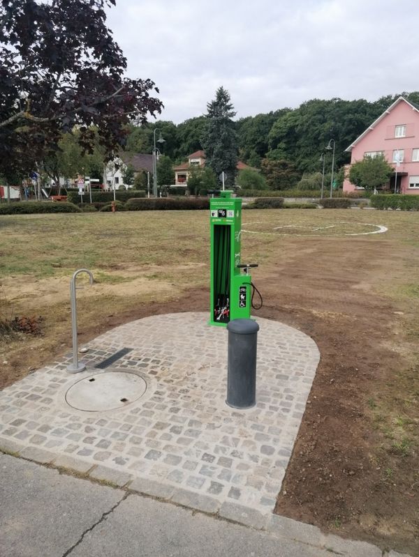
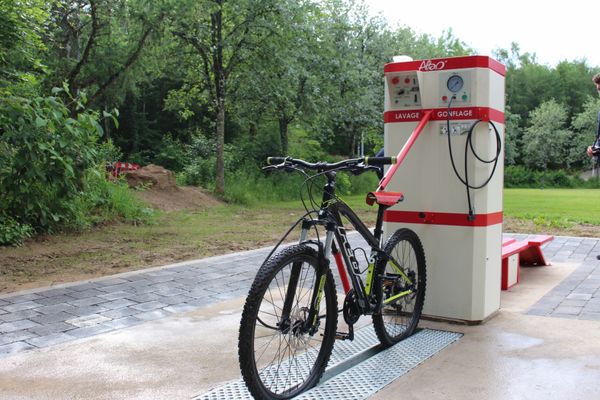
Looking for bike rentals or service stations ?
49 results