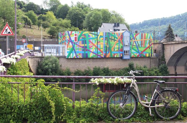
Luxemburg Fietsen
Hitte en droogte: help onze natuur te beschermen
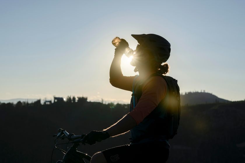
Tijdens periodes met hoge temperaturen en aanhoudende droogte neemt het risico op natuur- en bosbranden aanzienlijk toe. Met enkele eenvoudige voorzorgsmaatregelen kan iedereen bijdragen aan de bescherming van onze natuur en bossen.
Lees de aanbevelingen van de Luxemburgse autoriteiten om natuur- en bosbranden te helpen voorkomen.

130 resultaten
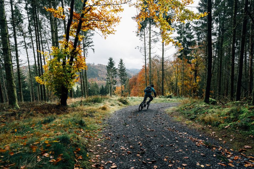
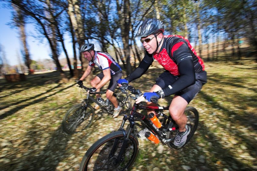
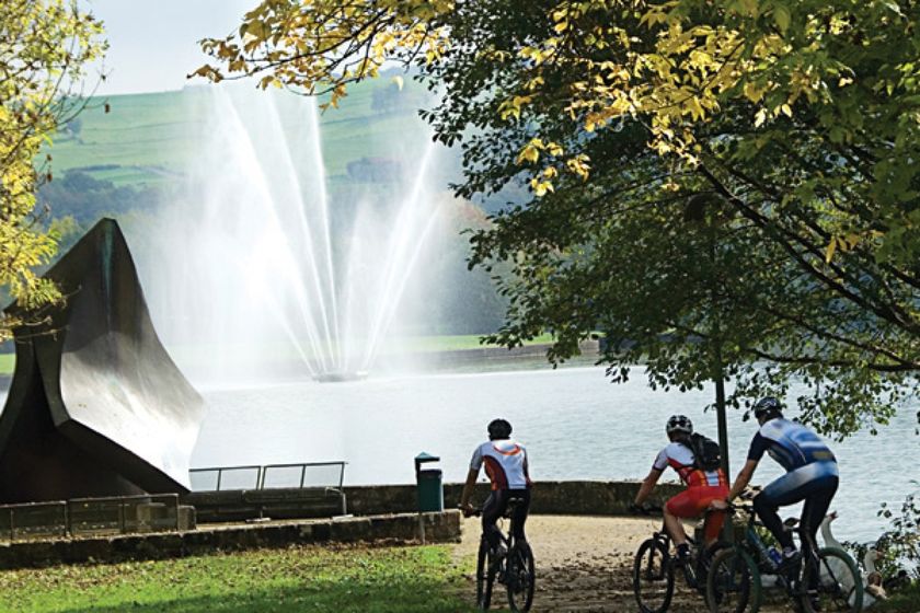
©Vincent Frasiak, Visit Luxembourg MountainbikeSchilderachtigMountainbike-Tour Hosingen-Lellingen
Afstand: 21,72 kmMeer informatie
Duur: 2:30 h
Moeilijkheidsgraad: medium©Visit Luxembourg MountainbikeRedRock MTB Trail - „Weiler-la-Tour"
Afstand: 21,28 kmMeer informatie
Duur: 2:10 h
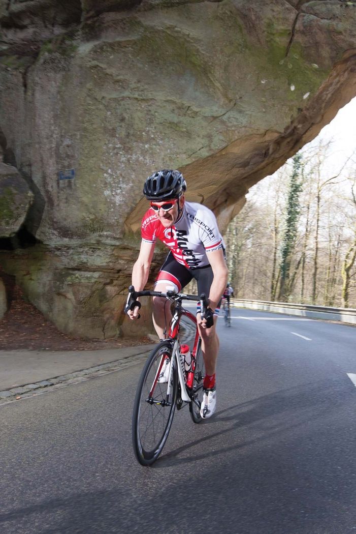
Moeilijkheidsgraad: medium©Visit Luxembourg Fietsroute Charly Gaul (PC 11)
Afstand: 8,92 kmMeer informatie
Duur: 0:35 h
Moeilijkheidsgraad: medium©Mullerthal Cycling / Lutz, Visit Luxembourg RacefietsS1 Highlight tocht
Afstand: 73,90 kmMeer informatie
Duur: 4:50 h
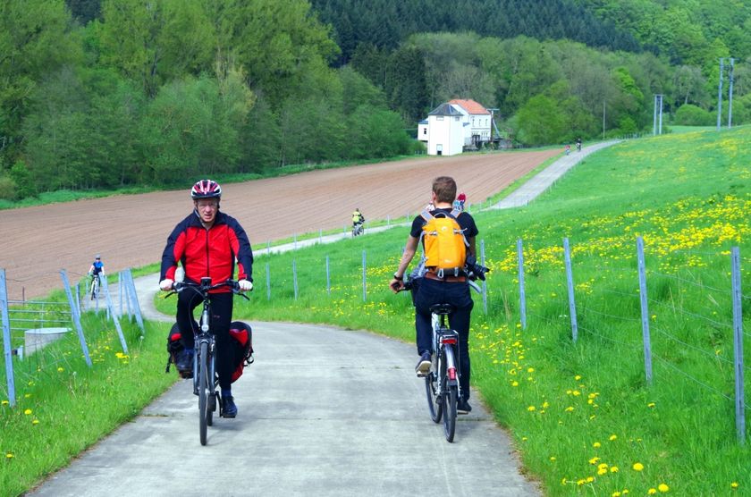
Moeilijkheidsgraad: medium©Anouk Flesch, Visit Luxembourg FietstochtenKinderen & Gezin SchilderachtigSlow Cycling Guttland - Het verleden traceren
Afstand: 47,14 kmMeer informatie
Duur: 3:45 h
Moeilijkheidsgraad: medium©V. G., Visit Luxembourg Grenz West Tour
Afstand: 41,27 kmMeer informatie
Duur: 3:10 h
Moeilijkheidsgraad: medium©Visit Luxembourg MountainbikeSchilderachtigMountainbike route Echternach
Afstand: 22,96 kmMeer informatie
Duur: 3:00 h
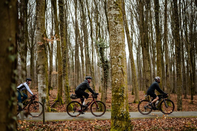
Moeilijkheidsgraad: medium©Mullerthal Cycling / Lutz, Mullerthal Cycling / Lutz RacefietsSchilderachtigS4 Mullerthal X-treme
Afstand: 99,31 kmMeer informatie
Duur: 7:00 h
Moeilijkheidsgraad: moeilijk©Visit Luxembourg Route F: VéloExpress Belval-Luxemburg
Afstand: 28,09 kmMeer informatie
Duur: 2:20 h
Moeilijkheidsgraad: makkelijk©Vincent Frasiak, Visit Luxembourg MountainbikeSchilderachtigMountainbike-Tour Rambrouch
Afstand: 34,45 kmMeer informatie
Duur: 3:35 h
Moeilijkheidsgraad: medium

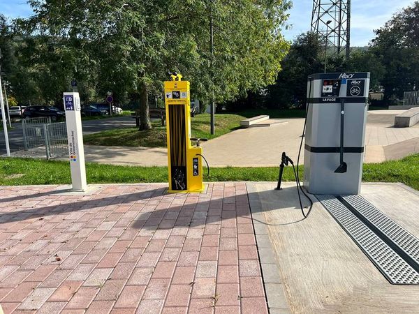
Op zoek naar fietsverhuur en servicestations?
82 resultaten