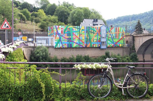
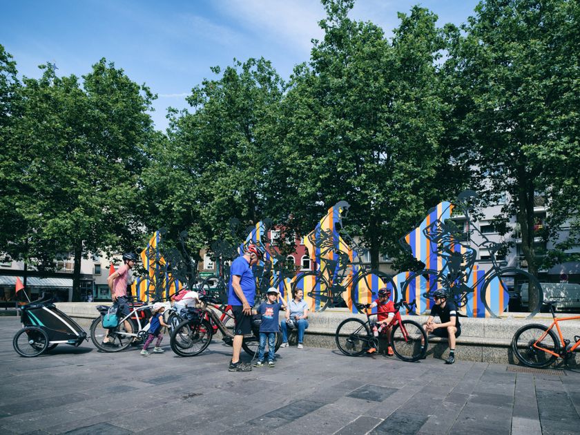
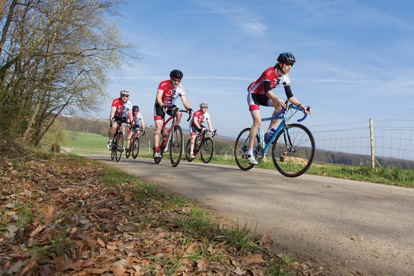
Luxemburg Fietsen
Hitte en droogte: help onze natuur te beschermen
Tijdens periodes met hoge temperaturen en aanhoudende droogte neemt het risico op natuur- en bosbranden aanzienlijk toe. Met enkele eenvoudige voorzorgsmaatregelen kan iedereen bijdragen aan de bescherming van onze natuur en bossen.
Lees de aanbevelingen van de Luxemburgse autoriteiten om natuur- en bosbranden te helpen voorkomen.

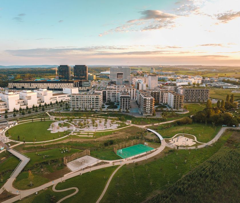
130 resultaten
©Emile Hengen, ORT SUD Kinderen & Gezin(L) Family Tour am Süden - 18.07-16.08 - Vëlosummer 2026
Afstand: 14,64 kmMeer informatie
Duur: 1:00 h
Moeilijkheidsgraad: makkelijk©Visit Luxembourg Kinderen & Gezin(K) City-Discovery-Tour - 18.07-16.08 - Vëlosummer 2026
Afstand: 24,08 kmMeer informatie
Duur: 2:00 h
Moeilijkheidsgraad: medium©Mullerthal Cycling / Lutz, Mullerthal Cycling / Lutz RacefietsS2 Mullerthal Classics
Afstand: 79,46 kmMeer informatie
Duur: 5:30 h
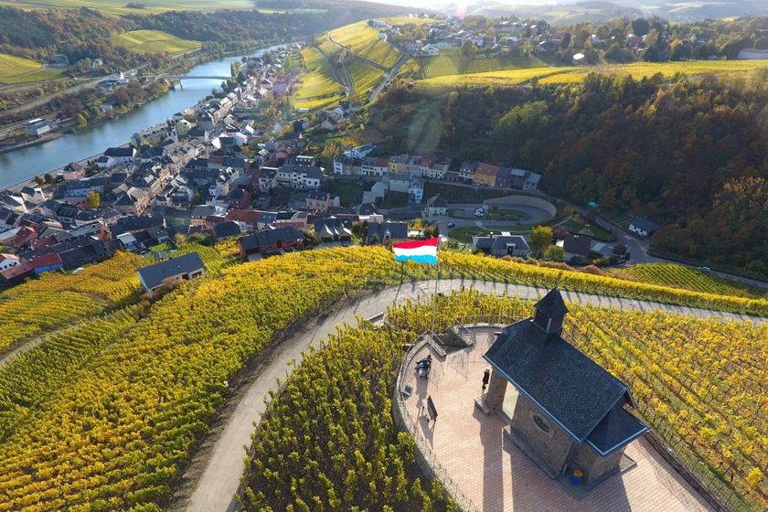
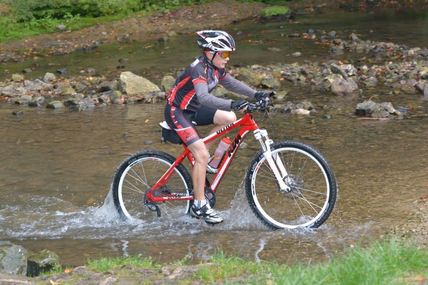
Moeilijkheidsgraad: medium©Carlo Rinnen, Visit Luxembourg MountainbikeMountainbike Trail Wormeldange
Afstand: 24,32 kmMeer informatie
Duur: 2:25 h
Moeilijkheidsgraad: medium©Visit Luxembourg Kinderen & Gezin(I) Réimertour - 01.08-16.08 - Vëlosummer 2026
Afstand: 15,82 kmMeer informatie
Duur: 1:05 h
Moeilijkheidsgraad: makkelijk©Visit Luxembourg MountainbikeMTB-route Beckerich (18 km)
Afstand: 31,09 kmMeer informatie
Duur: 4:05 h
Moeilijkheidsgraad: medium©Visit Luxembourg SchilderachtigFietsroute du Nord: Kautenbach-Wilwerwiltz (PC 21)
Afstand: 9,80 kmMeer informatie
Duur: 1:05 h
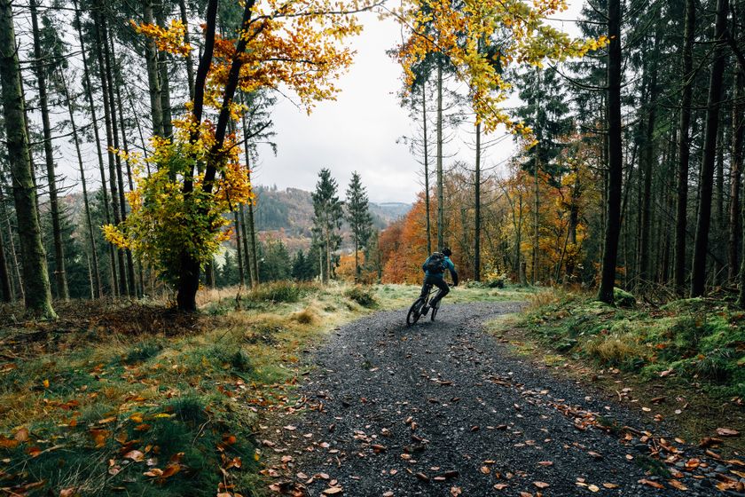
Moeilijkheidsgraad: makkelijk©Vincent Frasiak, Visit Luxembourg MountainbikeSchilderachtigMountainbike-Tour Wiltz 1
Afstand: 25,29 kmMeer informatie
Duur: 3:05 h
Moeilijkheidsgraad: medium©Mullerthal Cycling / Lutz, Visit Luxembourg RacefietsS1 Highlight tocht
Afstand: 73,90 kmMeer informatie
Duur: 4:50 h
Moeilijkheidsgraad: medium©Visit Luxembourg (D) Wou läit Buddeler? - 25.07.26 + 26.07.26 / 01.08.26 + 02.08.26 - Vëlosummer 2026
Afstand: 37,71 kmMeer informatie
Duur: 2:55 h
Moeilijkheidsgraad: moeilijk

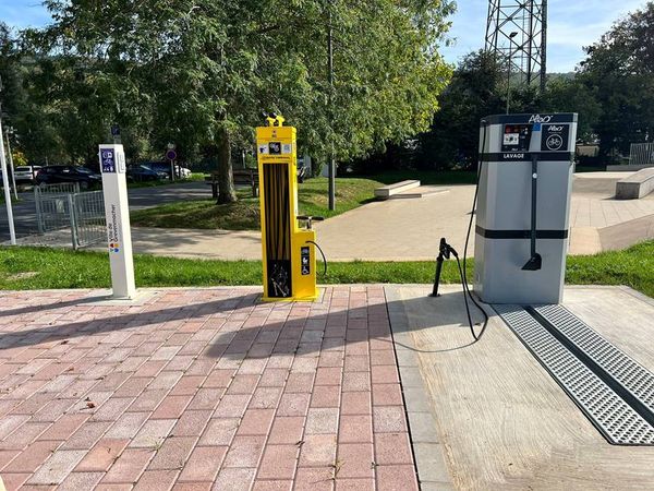
Op zoek naar fietsverhuur en servicestations?
82 resultaten