Luxemburg Wandeltochten
Wandelroutes in Luxemburg
591 resultaten
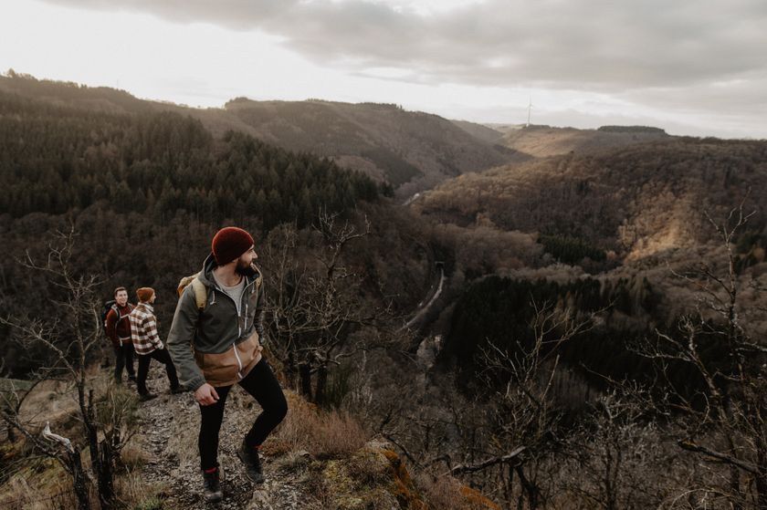
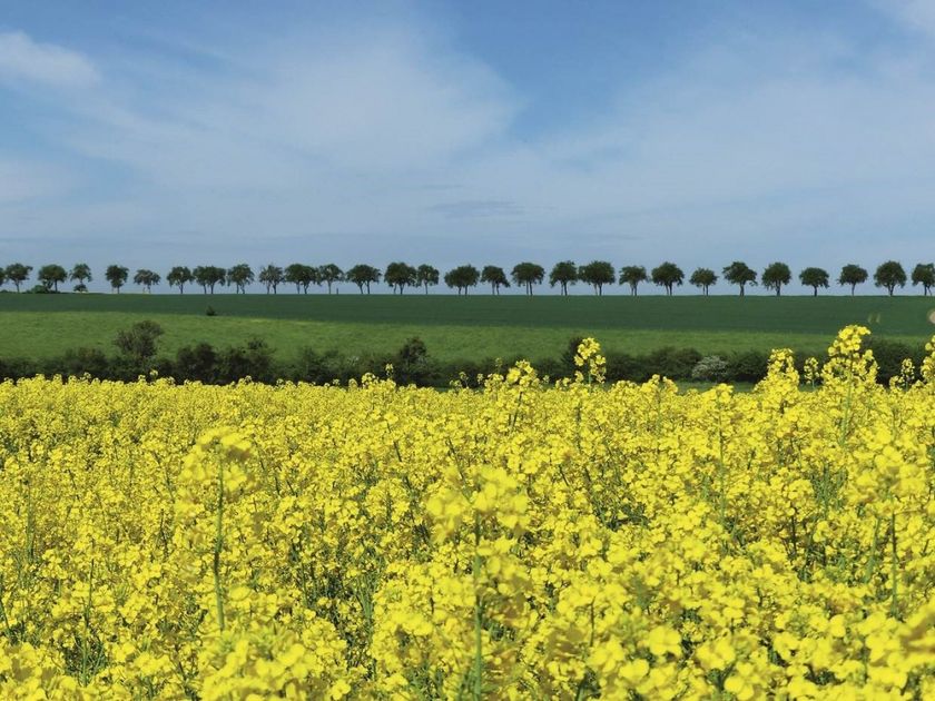
©Visit Luxembourg LangeafstandswandelroutesSchilderachtigCFL-Bahnwanderweg 11 (Diekirch - Ettelbruck)
Afstand: 11,62 kmMeer informatie
Duur: 3:20 h
Moeilijkheidsgraad: medium©Visit Luxembourg LangeafstandswandelroutesSchilderachtigCFL-Bahnwanderweg 4 (Drauffelt - Kautenbach)
Afstand: 16,13 kmMeer informatie
Duur: 4:50 h
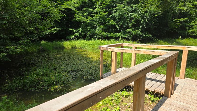
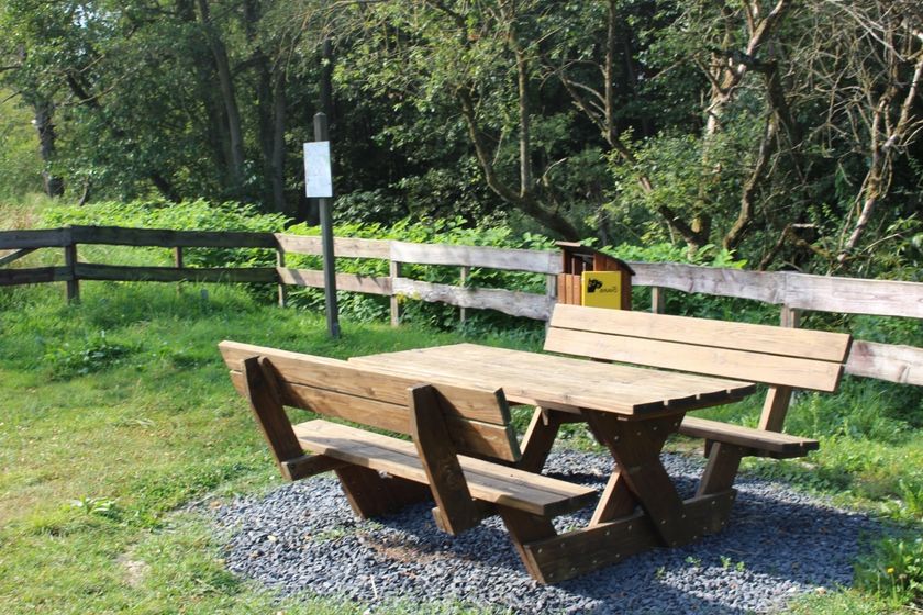
Moeilijkheidsgraad: medium©Tourist Info Wëlle Westen, Visit Luxembourg Thematische routesKinderen & Gezin HondvriendelijkWandelpad langs de mardellen
Afstand: 2,59 kmMeer informatie
Duur: 0:40 h
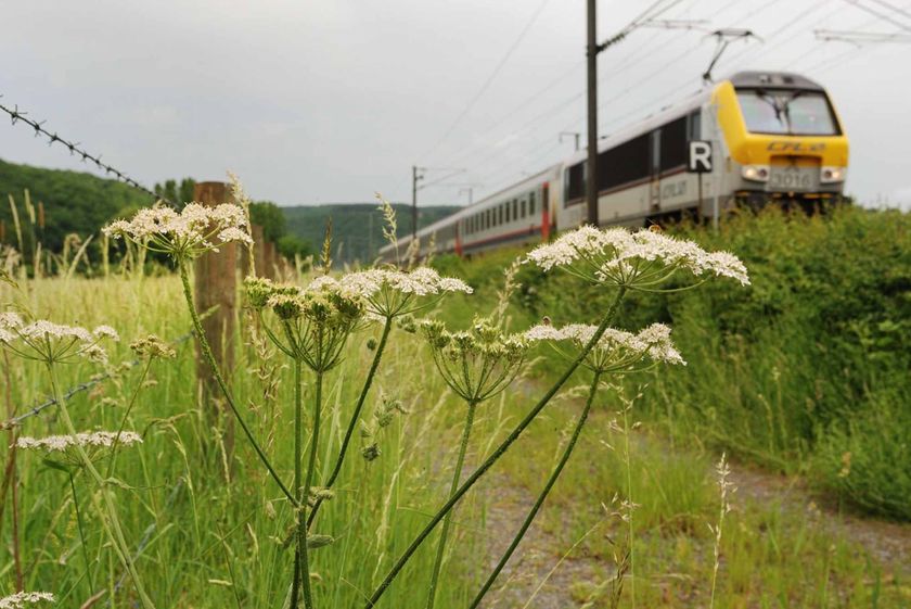
Moeilijkheidsgraad: makkelijk©Visit Luxembourg Langeafstandswandelroutes33 Station to station Dippach-Reckange - Leudelange
Afstand: 8,52 kmMeer informatie
Duur: 2:15 h
Moeilijkheidsgraad: makkelijk©Visit Éislek, Visit Éislek LangeafstandswandelroutesSchilderachtigSentier Adrien Ries (zuidelijk deel)
Afstand: 23,06 kmMeer informatie
Duur: 6:25 h
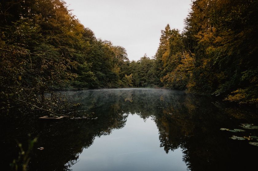
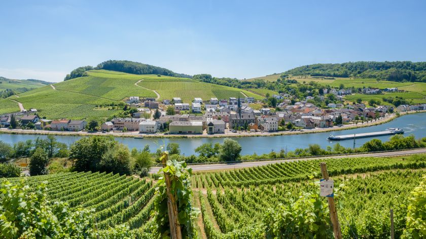
Moeilijkheidsgraad: moeilijk©Visit Luxembourg Mondorf-les-Bains - Schengen
Afstand: 13,61 kmMeer informatie
Duur: 3:28 h
Moeilijkheidsgraad: makkelijk©ORT Sud Thematische routesKinderen & GezinLeerpad "Felten's Pole Learning Path"
Afstand: 1,80 kmMeer informatie
Duur: 0:25 h
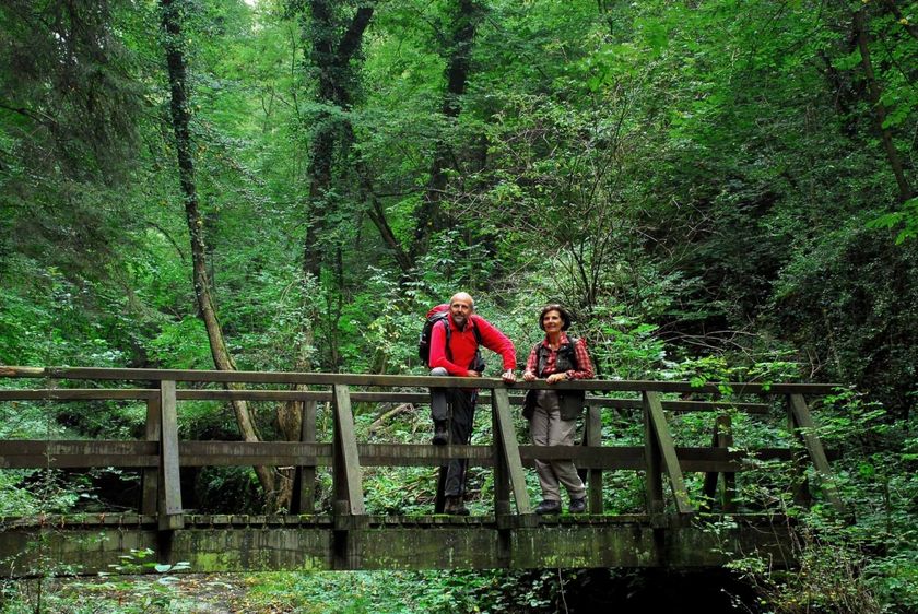
Moeilijkheidsgraad: makkelijk©Paul Hilbert, Visit Luxembourg RondwandelroutesSchilderachtigAuto-pédestre wandelroute Machtum
Afstand: 7,81 kmMeer informatie
Duur: 2:10 h
Moeilijkheidsgraad: medium
No image availableRondwandelroutesAuto-pédestre wandelroute Bonnevoie
Afstand: 7,87 kmMeer informatie
Duur: 2:30 h
Moeilijkheidsgraad: medium©Visit Luxembourg RondwandelroutesRondwandelroute Heisdorf
Afstand: 7,94 kmMeer informatie
Duur: 2:25 h
Moeilijkheidsgraad: medium