
Circular routes Visit Luxembourg
Description
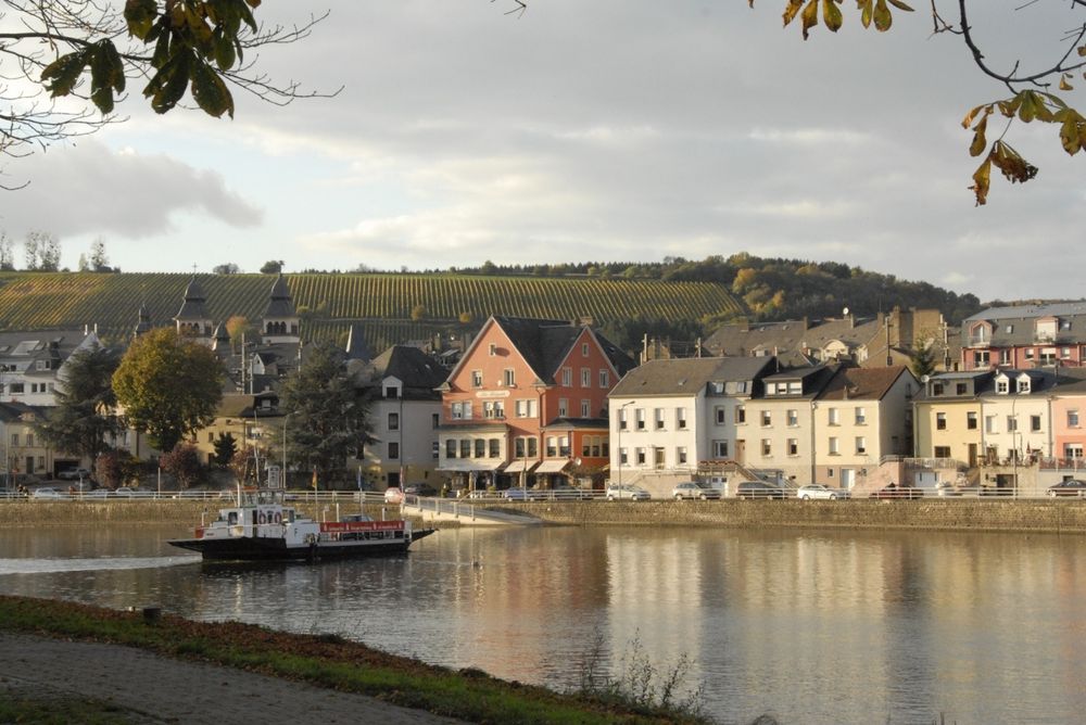
Wasserbillig E
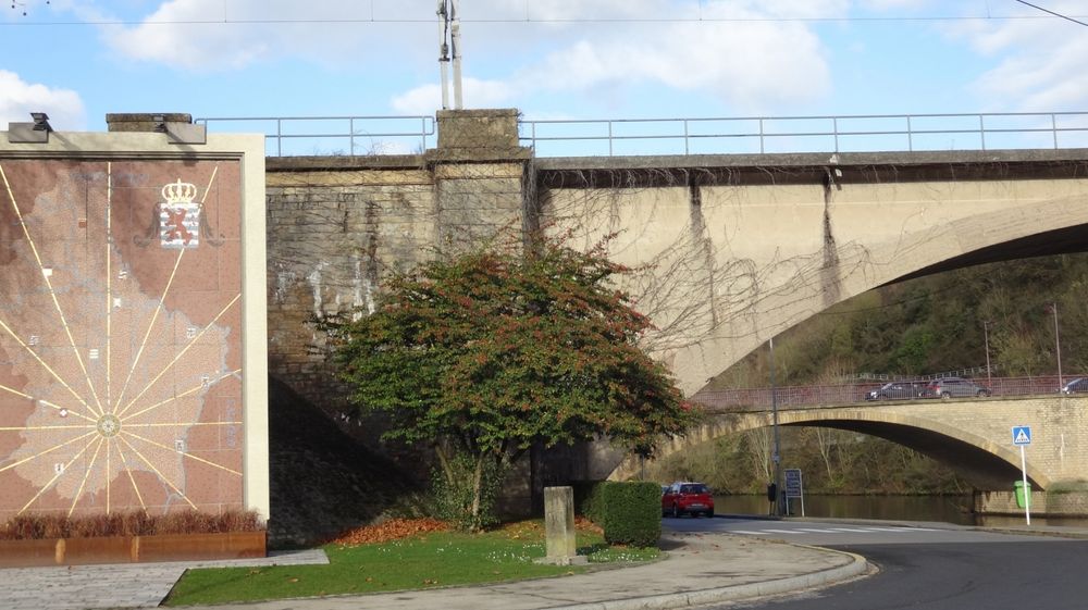
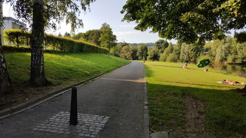
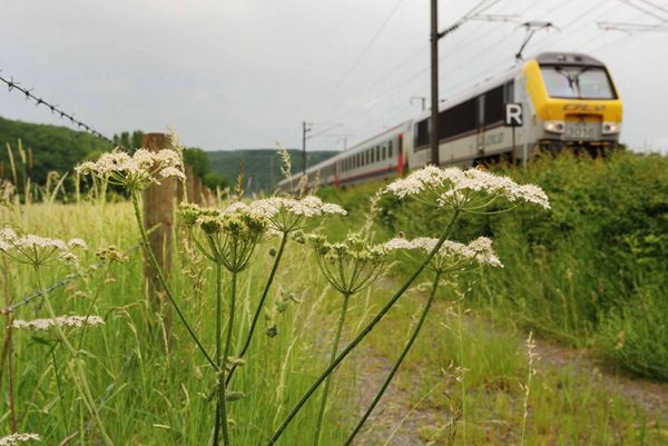
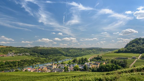
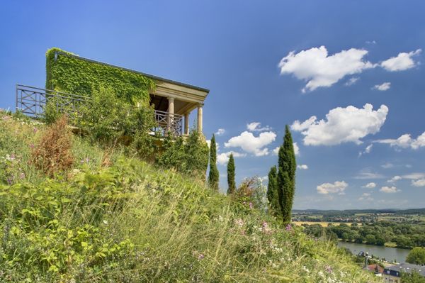
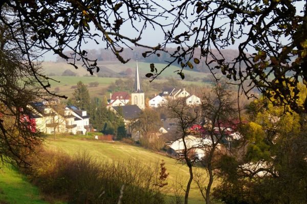
Over the lowest point of the country Spatz, along the Sauer, over stairs you'll reach a view point. Further up you'll see the motorway feeder road before your cross the Sernigerbach and reach Mertert. Here you pass the Almauer residential area, the pedestrian bridge and the railway bridge. From Mertert you return to the starting point via the promenade along the Moselle.
Journey
Public transport: Bus stop Wasserbillig Op der Bréck
Parking: Parkingspots near the starting point
Parking: Parkingspots near the starting point


 This website uses technology and content from the Outdooractive Platform.