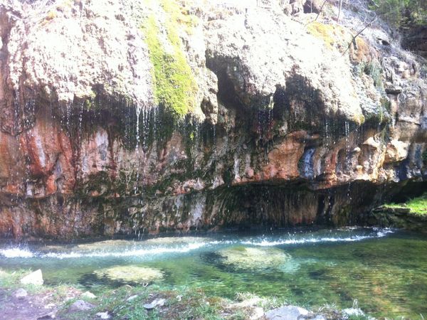
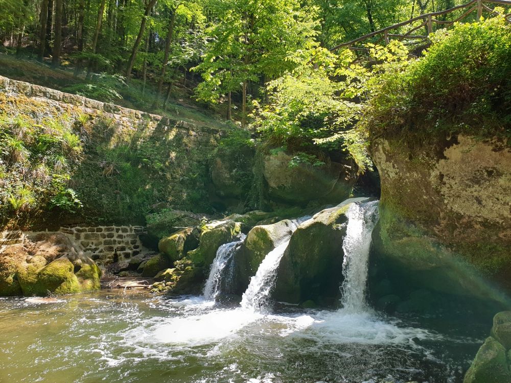
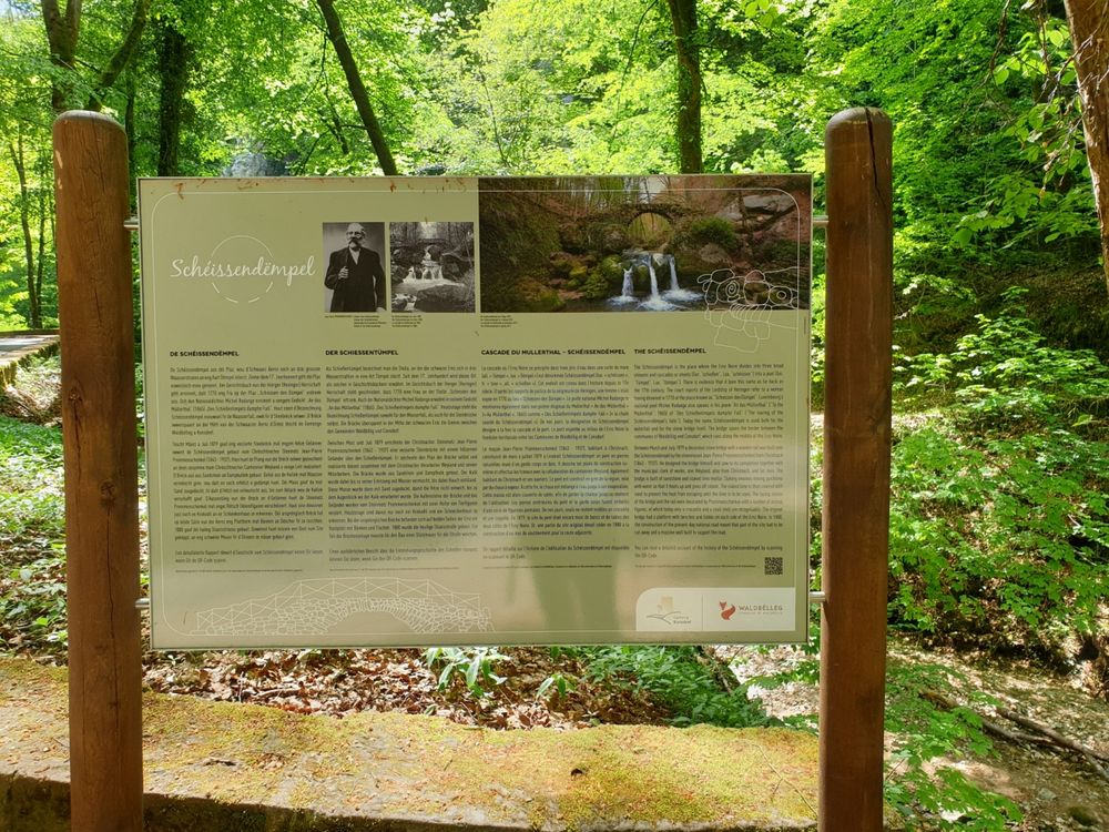

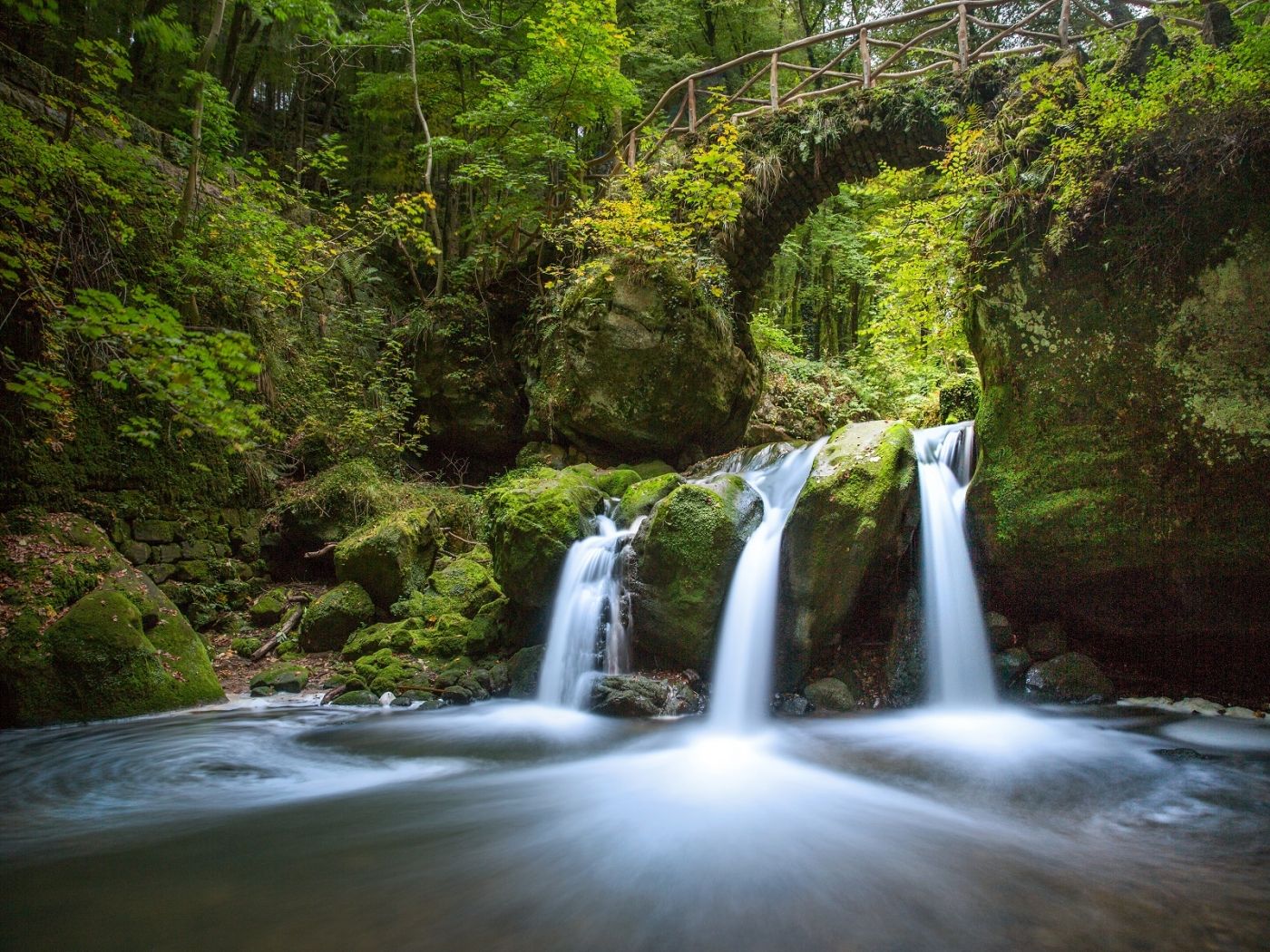
Schiessentümpel / Schéissendëmpel waterfall
Where? CR 121, 6245 Mullerthal
Schiessentümpel / Schéissendëmpel waterfall
When we talk about the Schiessentümpel, we also refer to the bridge and the waterfall on the Black Ernz. The sandstone bridge was built in 1879 and although it has no practical function in terms of mobility in Luxembourg, unlike other large bridges, it has been the symbol of the Mullerthal Region - Luxembourg's Little Switzerland since 1879. Before 1879, the region was difficult to access. It was said to be dangerous for people and would resemble a primeval forest. It was called: "The Land of the Wolves".
However, this changed in 1814 with the visit of Joseph von Görres from Koblenz. He was not only school director for the province of Lower and Middle Rhine, to which Luxembourg also belonged at the time, but he was also a scientist and journalist for the newspaper "Rheinischer Merkur", which was first published in the same year. In addition, the Brussels journalist Victor Joly also wrote about Luxembourg in his travel book. His article was called "Les Ardennes". These articles made many people from neighboring countries want to come and visit Luxembourg and the region. The Luxembourg government then set up a better road and train network. In 1873 there was a train station in Grundhof and in 1877 the road was built between Grundhof and the village of Mullerthal. The connection between the village of Mullerthal and Breitler was also completed in 1881, thus the village and the Schiessentümpel were accessible from both sides.
The famous bridge, which today is the symbol of the region, was built within four months only, between March 20 and July 27, 1879, by the stonemason Jean-Pierre Prommenschenkel from Christnach. At that time, the bridge was built with steam lime and sandstone and lasted until today. The wooden railing was added later and has been renewed several times over the years.
The bridge or the middle of the Black Ernz represents the municipal boundary between the municipalities Waldbillig and Consdorf.
Today the Schiessentümpel celebrates its 140th birthday and is part of the country's cultural and tourist heritage.
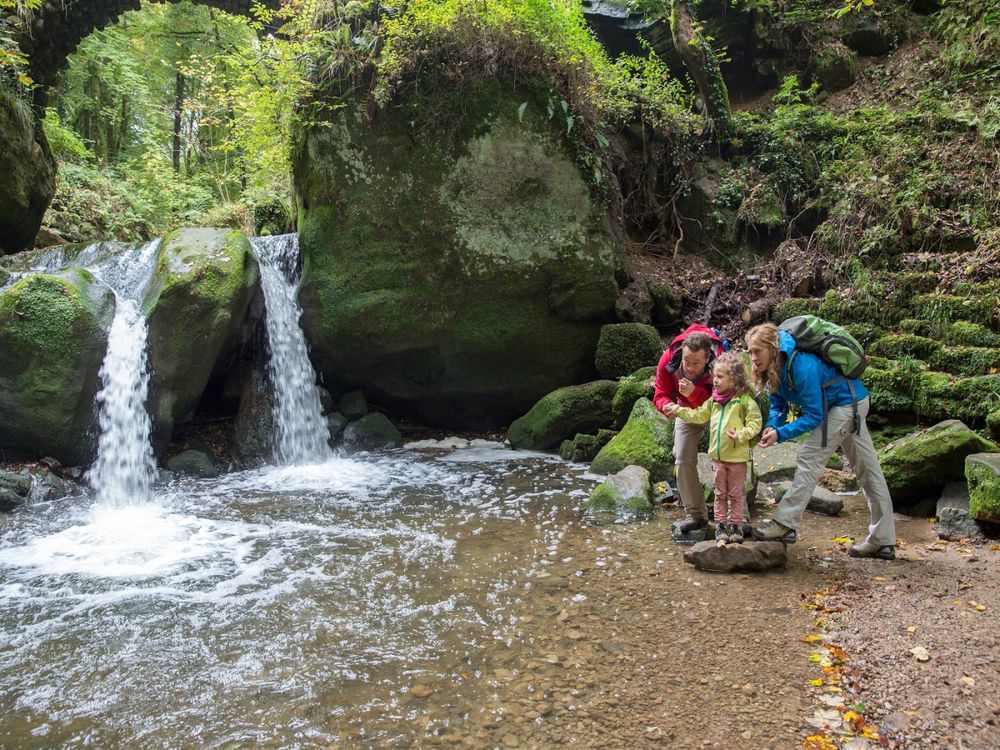
To discover the waterfall, there are two possibilities for a short walk: from the Touristcenter Heringer Millen over local hiking trails (W6 & W7) after approx. 1 km, or from the nearby larger parking situated between the village of Mullerthal and the crossroads at the Breidweiler bridge on the street called CR121.
The waterfall is situated just about 500 m away from the parking. You can walk along the road or take Mullerthal Trail Route 3 towards Mullerthal.