Rondwandelroutes Visit Luxembourg
Beschrijving
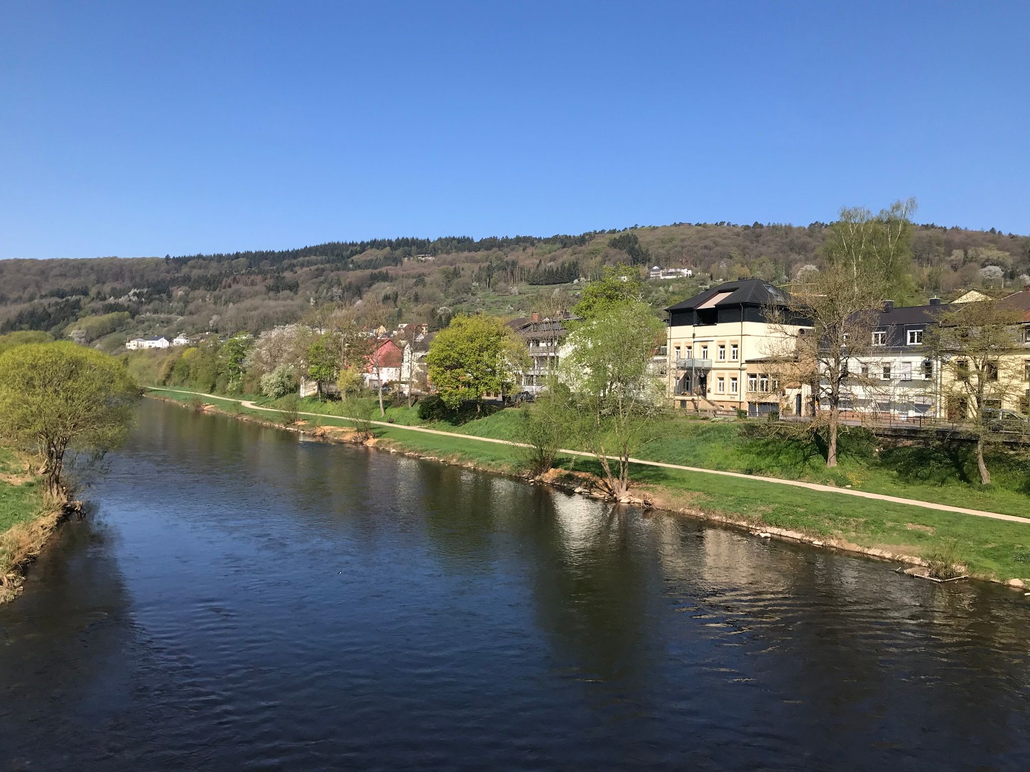
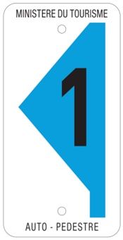
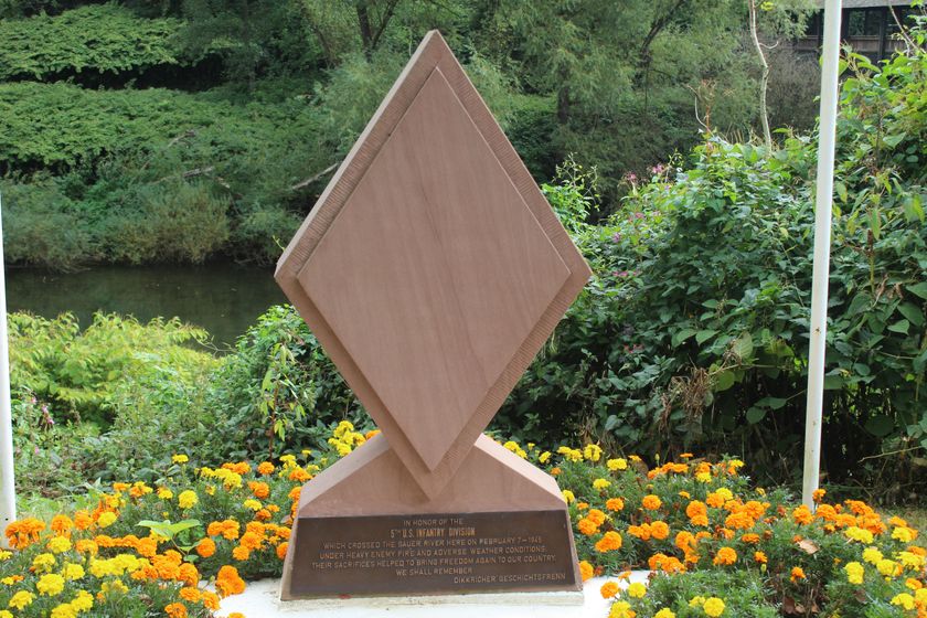
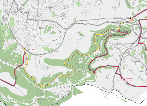
Auto-pédestre wandelroute Bollendorf-Pont
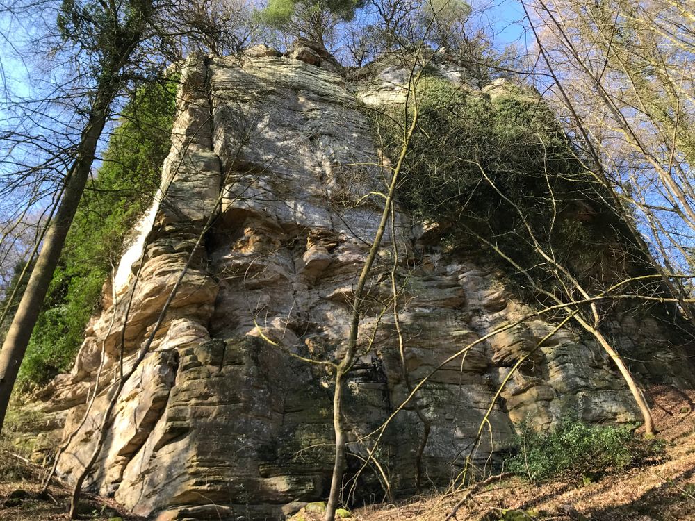
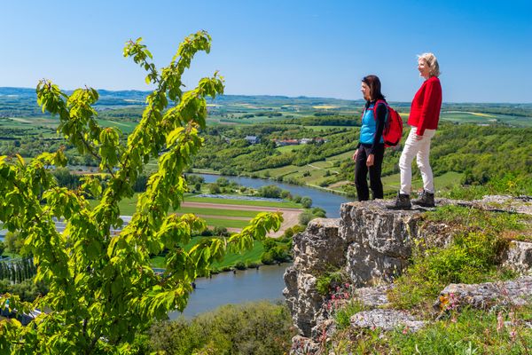
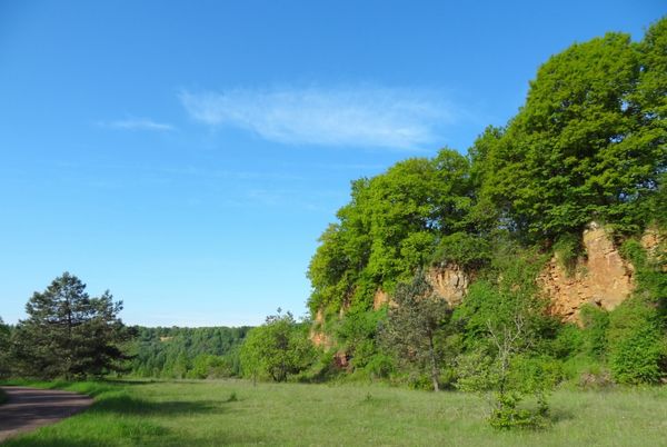
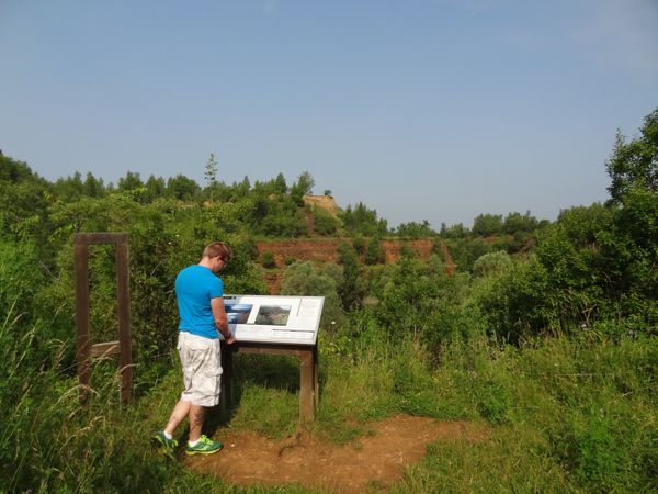
This trail, boasting unbeatable views over the valley of the Sûre, begins with a rather steep climb before passing through some woods dotted with rock formation. The return to the starting point takes you along the banks of the Sûre.
Bewegwijzering
Uitrusting
Stevige schoenen en iets te drinken.
Aankomst
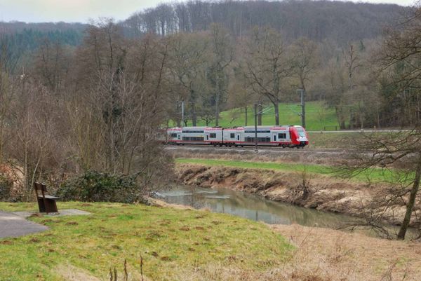
Openbaar vervoer: Dichtstbijzijnde bushalte: Bollendorf, Pont (50 m)
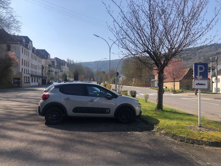
Parking: Dichtstbijzijnde parkeerplaats: Bollendorf-Pont (50 m)
Parking: Dichtstbijzijnde parkeerplaats: Bollendorf-Pont (50 m)


 Deze website maakt gebruik van technologie en inhoud van het Outdooractive Platform.