Description
90 kilometers of walks in a nature reserve in a unique region
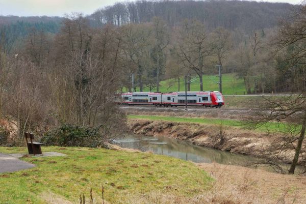
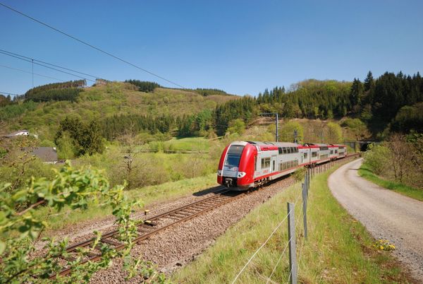
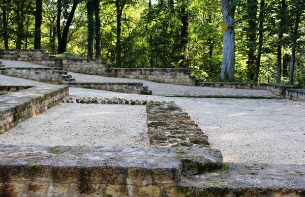
In the south of Luxembourg, the name Minett brings to mind an area rich in history, culture, and nature. Iron ore (minett) and its extraction on an industrial scale have shaped the area’s inhabitants, landscapes, and biosphere.
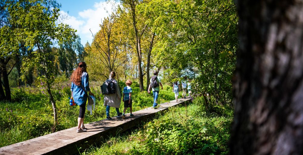
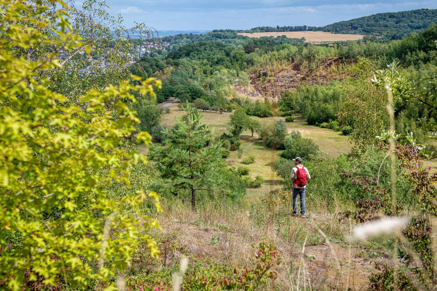
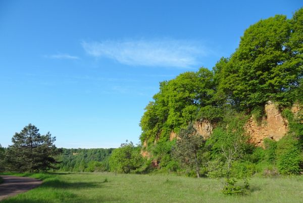
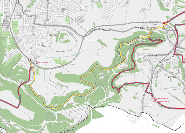
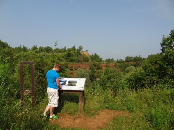
The 90-kilometer Minett Trail passes through several former open-pit mines, which, over the past 40 years since their closure, have been gradually reclaimed by nature.
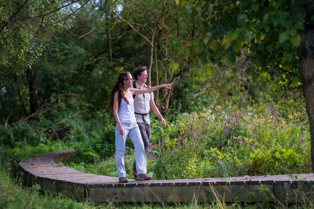
Each of the trail’s 10 sections, ranging from seven to 15 kilometers, offer hikers magnificent views and moving multisensory experiences while discovering this southern region, rich in biodiversity.
Flowering orchids, lush greenery, and red land, along with the colors and scents of the characteristic iron ore, give rise to fascinating scenery dotted with mines.
Labelled “Man and Biosphere” by UNESCO for its quality, this group of sites is part of the prestigious international network of more than 700 biosphere reserves in 124 countries.
Revitalise yourself in quirky hiking huts
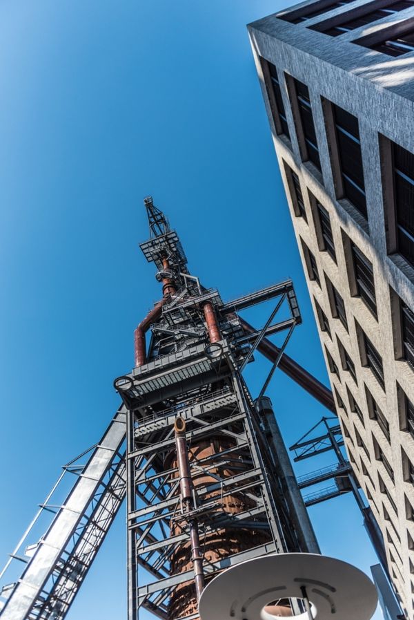
To make it easy for hikers to spend the night on the trail, hiking huts (called “Kabaisercher” in Luxembourgish) have been set up along the way. These include old industrial buildings, gateways, schools, factories, and passenger train cars. They have been given a new life following an architecture competition organised in cooperation with the national order of architects and engineering consultants, the OAI.
These works of architectural beauty, spread among the 11 communes of Esch2022, have been designed to provide relaxation and comfort after a stretch of rigorous hiking.
The Floater (Dudelange), the Gonner Haus (Rumeldange), and the Aalen Arbed’s Büro (Tetange), opened their doors on August 1, 2022.
More “Kabaisercher” hiking huts will be opened from now until the end of the year.

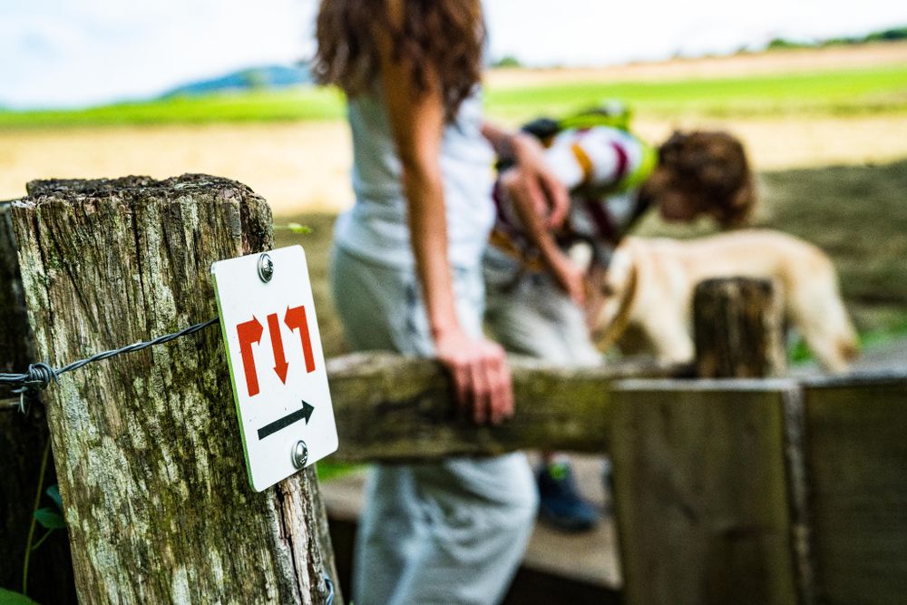
Signposting

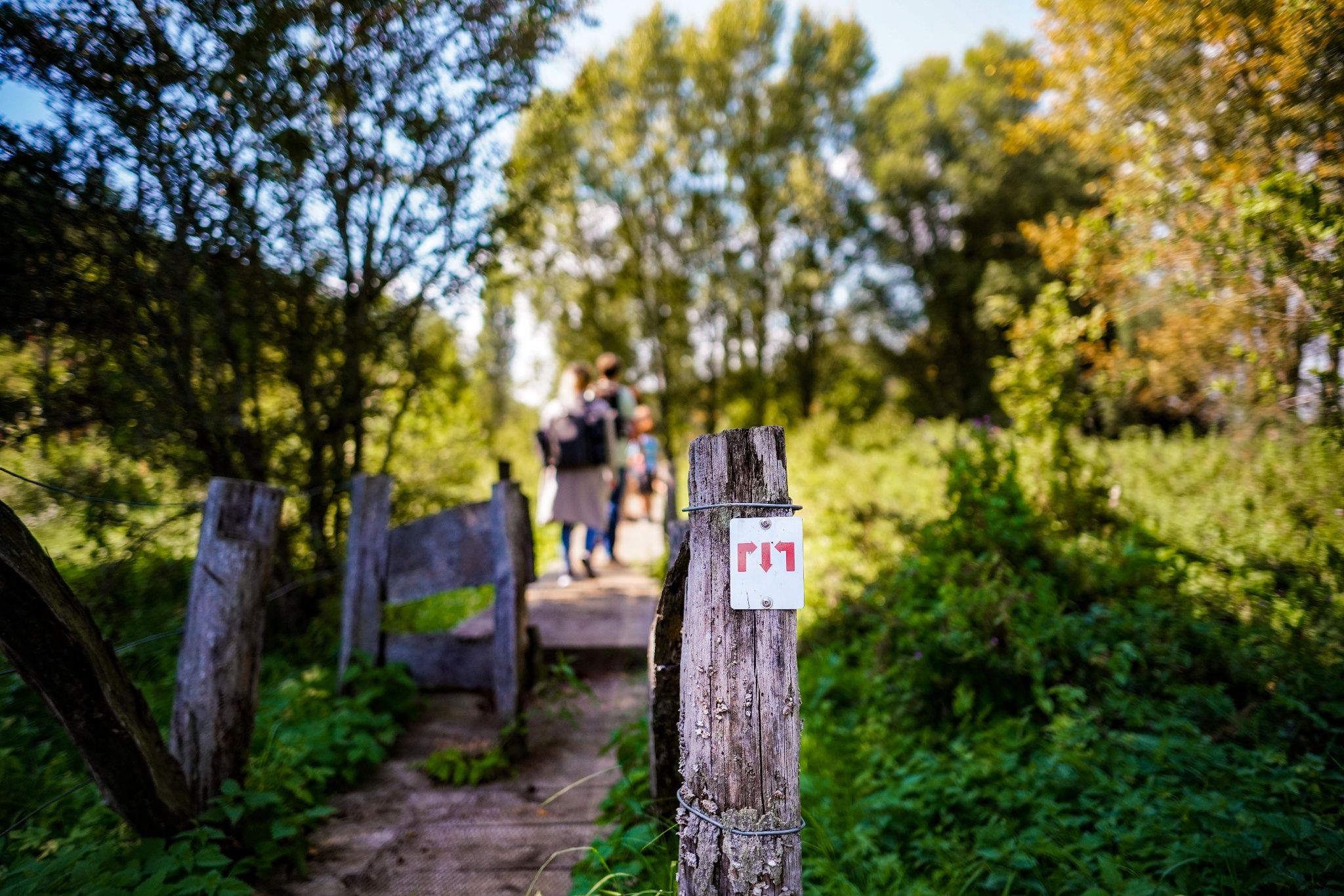
Directions
Please follow the "Minett Trail" signs, which can be followed either way down the trail.
There are ten alternative entrances to the route.
For your safety
Please note that mountain bikers may meet you at times on the way and that the trail sometimes leads over street crossings in town. Therefore, please follow the given signs, do not deviate from the path and pay attention to your surroundings.
Equipment
Please remember to wear sturdy shoes and appropriate clothing in case of inclement weather.
Journey
Parking: Public parking is available at the starting points and along the trail.


 This website uses technology and content from the Outdooractive Platform.