© Pierre Haas, Unknown
Müllerthal Germany France

Local hiking trail - W8

Starting point
Mullerthal: Touristcenter Heringer Millen
Destination
Mullerthal: Touristcenter Heringer Millen
Distance
12,52 km
Duration
3:42 h
Difficulty
medium
  • Condition
  • Technique
Highest point
351 Hm
Lowest point
209 Hm
Aggregated Ascent
243 Hm
Aggregated Descent
244 Hm
Circular routes Visit Luxembourg

Description

Refreshment stops available
Attention! The hiking trail is temporarily closed due to construction work.


Fantastic hike which enables you to combine the Schiessentümpel cascade and the tufa spring.

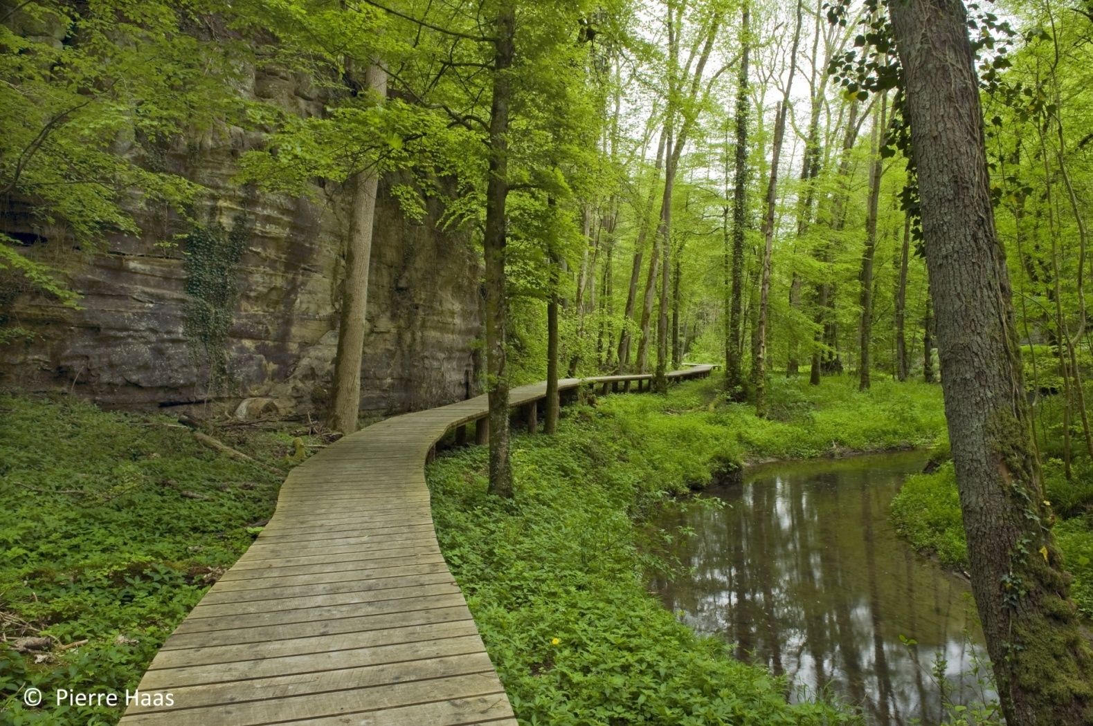
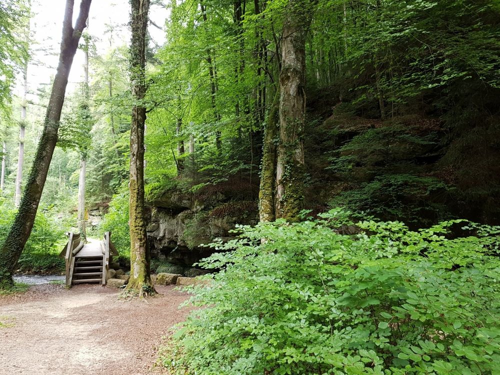
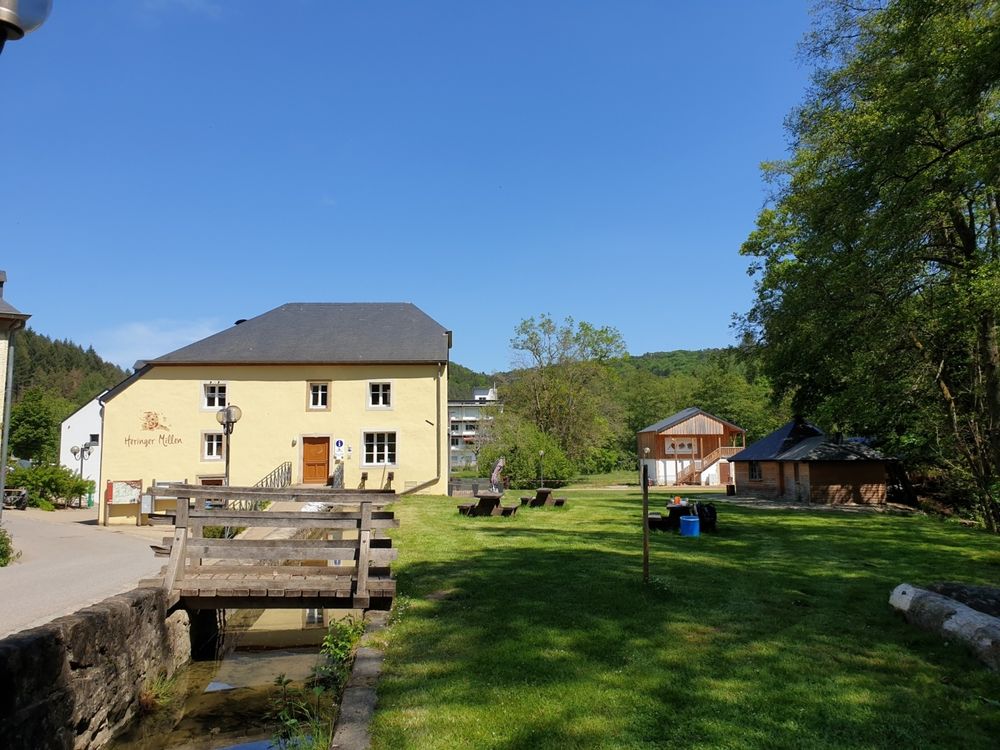
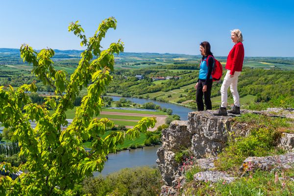
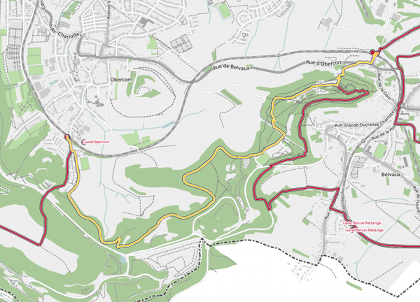
This hike starts at Heringer Millen in Mullerthal. After a slight ascent through the forest, the trail leads across the open plateau landscape and past the golf course to Christnach.

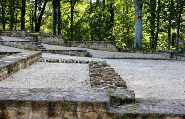
This village is considered as role village due to its well-preserved architecture.

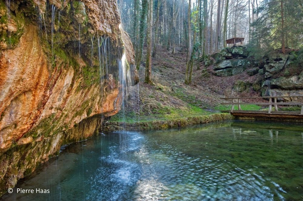
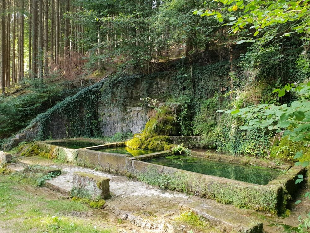
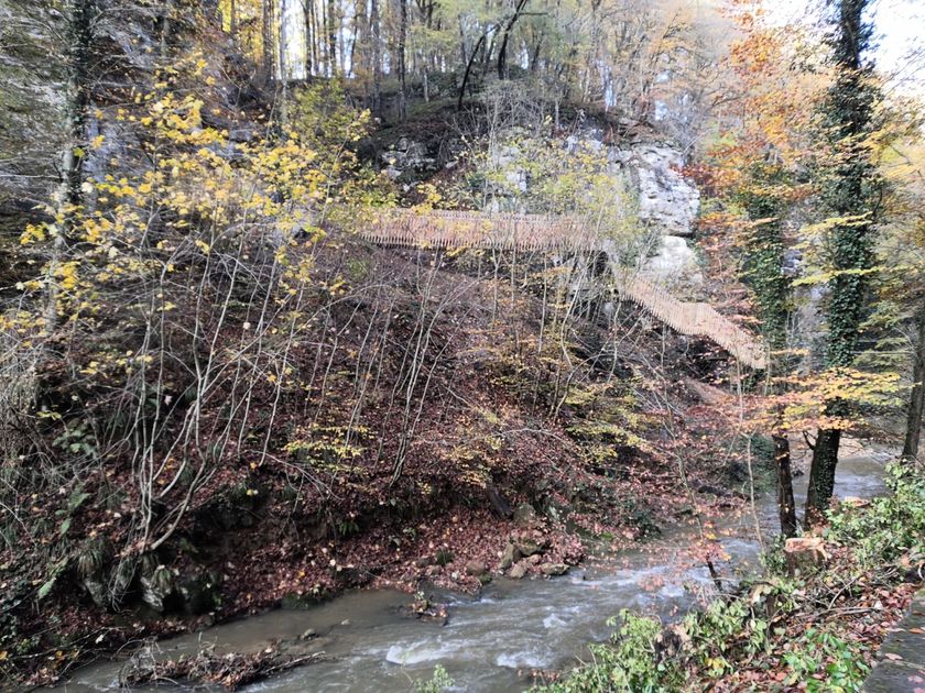
Over wide fields and gentle hills, the trail finally leads back into the forest and down to the wildly romantic valley of the Black Ernz. The first highlight of the tour awaits there: the tufa spring, a colorful moss-covered rock over which water trickles into a crystal-clear pool.

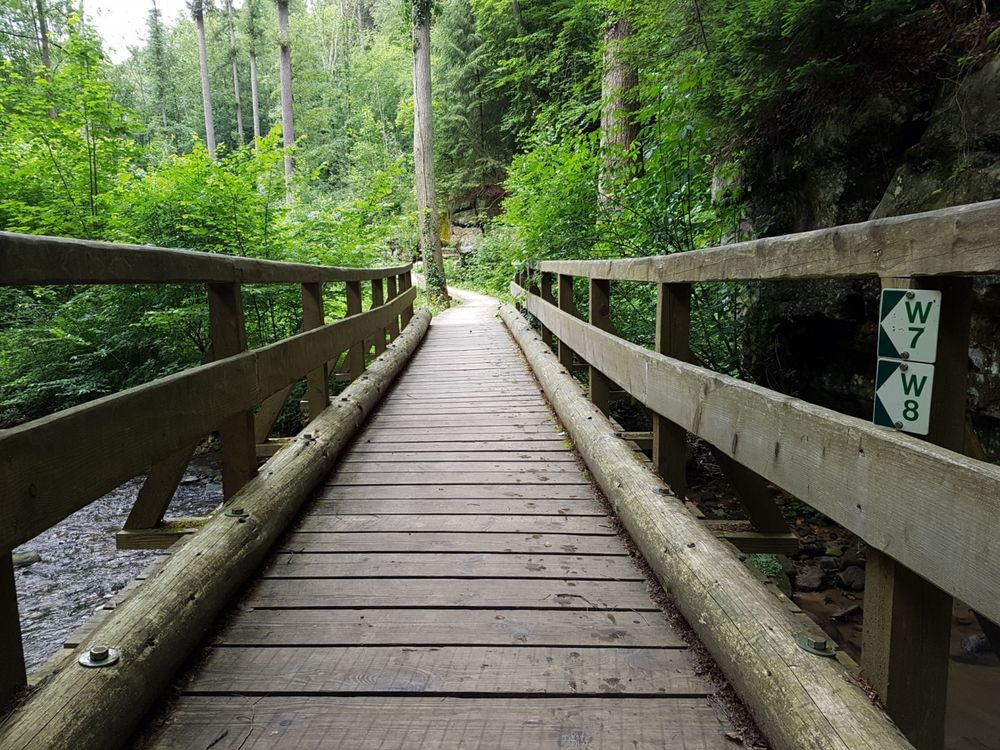
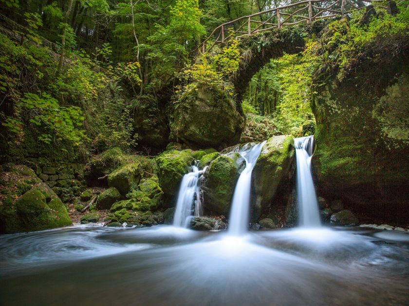
You continue along the river and at the end of the hike you reach the absolute highlight and most famous landmark of the region: the romantic Schiessentümpel with the ancient stone bridge and its waterfall.

Suggestions nearby

Local hiking trail - W8

  • Parking - Touristcenter Heringer Millen
    Parking - Touristcenter Heringer Millen
    Find out more
  • Schiessentümpel / Schéissendëmpel waterfall
    Schiessentümpel / Schéissendëmpel waterfall
    Find out more
  • Trap - Schiessentümpel staircase
    Trap - Schiessentümpel staircase
    Find out more
  • © Restaurant Aux Fines Herbes - Golf Christnach
    Restaurant Aux Fines Herbes - Golf Christnach
    Restaurant Aux Fines Herbes - Golf Christnach
    Find out more
  • Picnic area Christnach
    Picnic area Christnach
    Find out more

Similar hiking tours

© © Wanderbüro Saar-Hunsrück, Klaus-Peter Kappest, SaarSchleifenLand
Dream loops
"Traumschleife" Schengen without borders
Distance: 8,54 km
Duration: 3:30 h
Difficulty: medium
Find out more
© Visit Luxembourg
Distance trails
21 Station to station Bettembourg - Dudelange-Burange
Distance: 14,66 km
Duration: 3:45 h
Difficulty: medium
Find out more
© CFL, Visit Luxembourg
Distance trails
22 Station to Station Dudelange - Burange - Rumelange
Distance: 10,22 km
Duration: 3:05 h
Difficulty: medium
Find out more
© ORT Sud
Distance trails
23 Station to station Rumelange - Kayl
Distance: 12,57 km
Duration: 3:25 h
Difficulty: medium
Find out more
© Visit Luxembourg
Distance trails
25 Station to station Kayl - Schifflange - Esch-sur-Alzette
Distance: 21,71 km
Duration: 6:05 h
Difficulty: medium
Find out more
© Pulsa Pictures, ORT SUD
Distance trails
26 Station to station Esch-sur-Alzette - Belvaux-Soleuvre
Distance: 9,05 km
Duration: 2:30 h
Difficulty: medium
Find out more
© Visit Luxembourg
Distance trails
27 Station to station Belvaux-Soleuvre-Oberkorn
Distance: 5,20 km
Duration: 1:25 h
Difficulty: medium
Find out more
© ORT Sud
Distance trails
28 Station to station Oberkorn - Niederkorn
Distance: 8,69 km
Duration: 2:25 h
Difficulty: medium
Find out more
© ORT Sud
Distance trails
29 Station to station Niederkorn - Rodange
Distance: 10,12 km
Duration: 2:55 h
Difficulty: medium
Find out more