Description
Attention! Due to ongoing constructions works, a deviation is currently active. Please respect the indications on site.
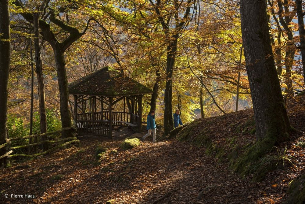
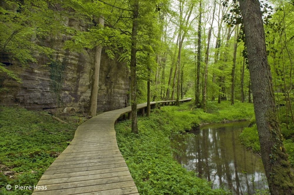
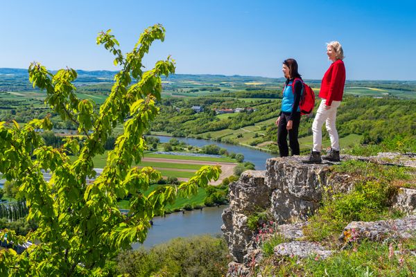
Picturesque hike through the heart of the Mullerthal Region.
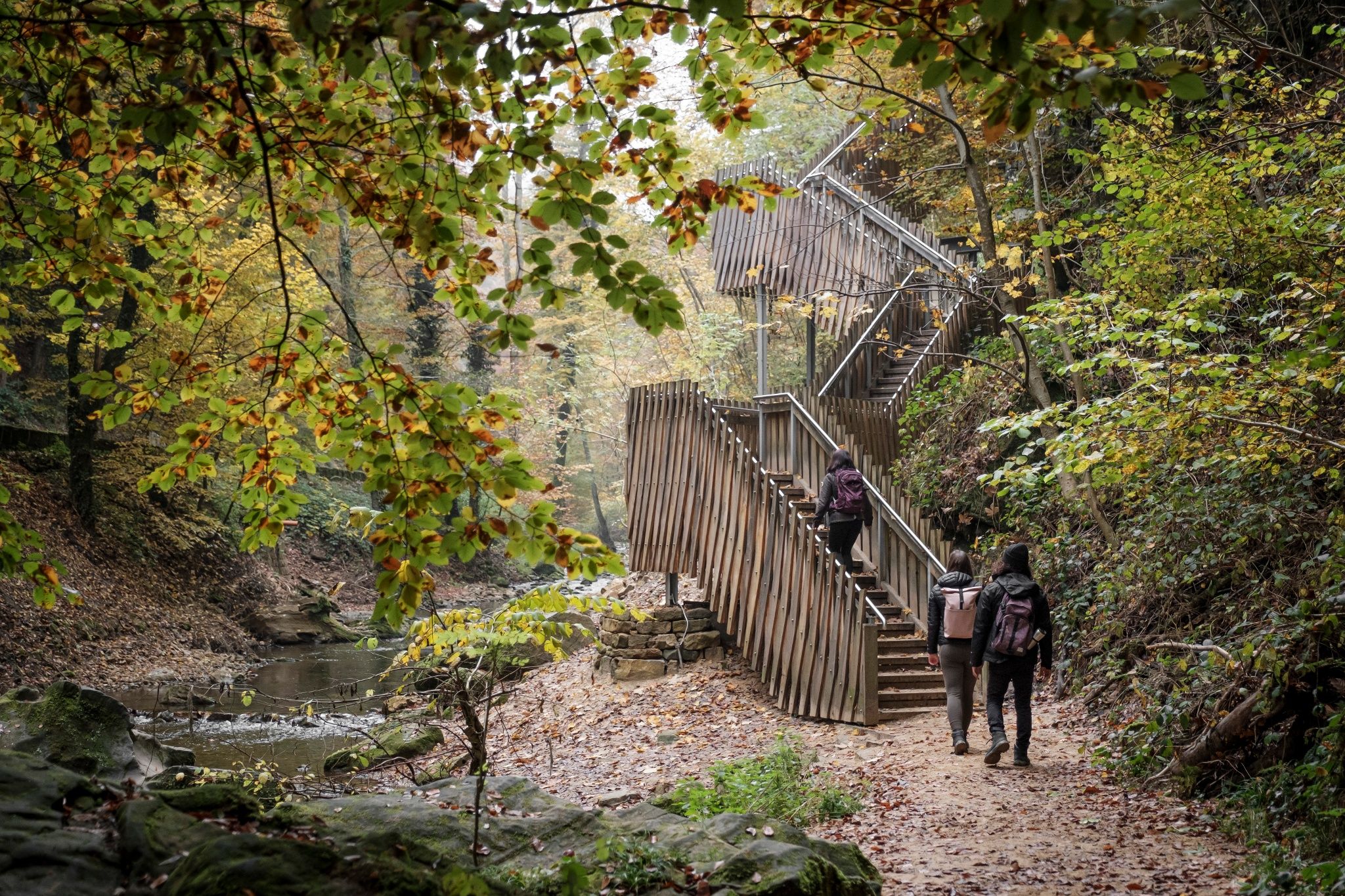
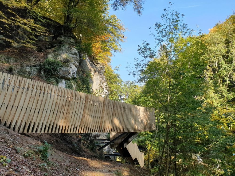
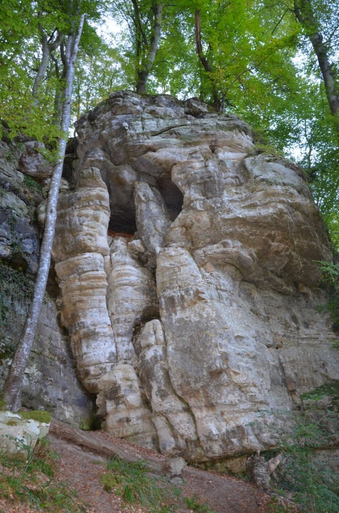
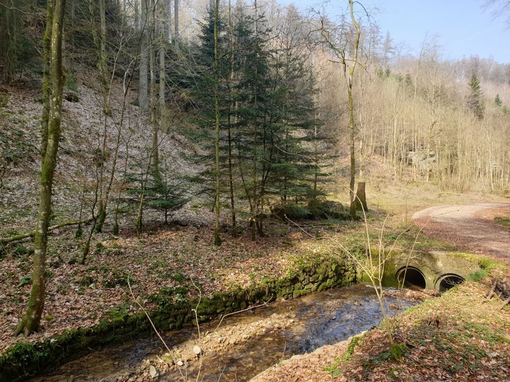
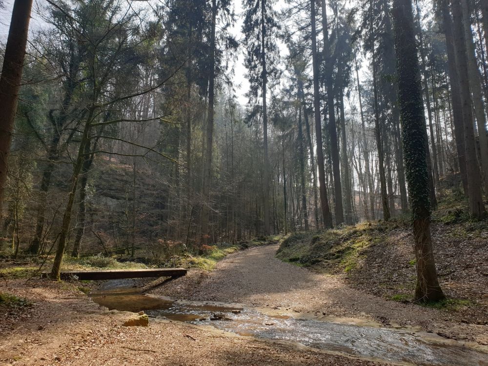
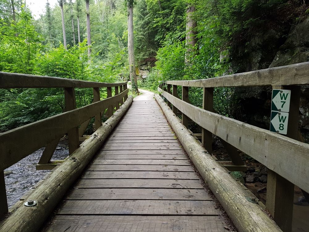
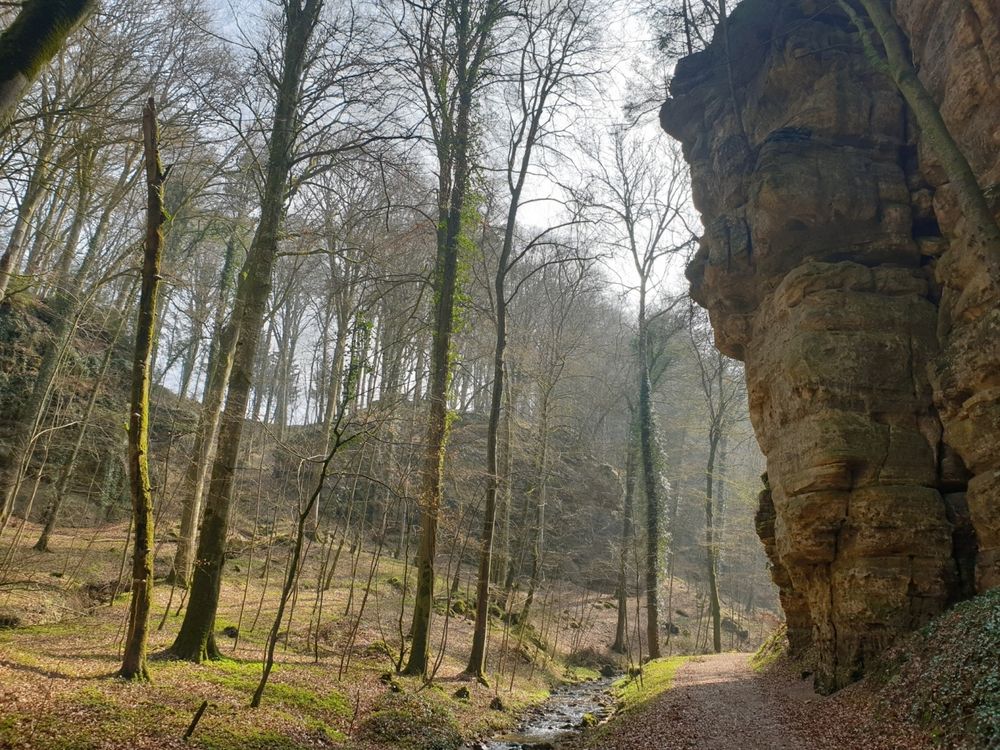
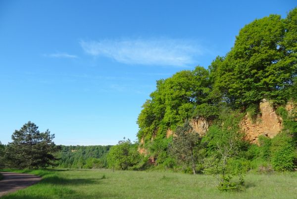
This hike starts with a steep climb to a wooden cottage in the forest. You continue on narrow paths along numerous rock formations and bubbling streams.
The second half of the hike offers one highlight after the other. After a descent through the forest, you reach the Black Ernz and pass the place where the skeleton of the Loschbourmann was found, who lived here around 8000 years ago.
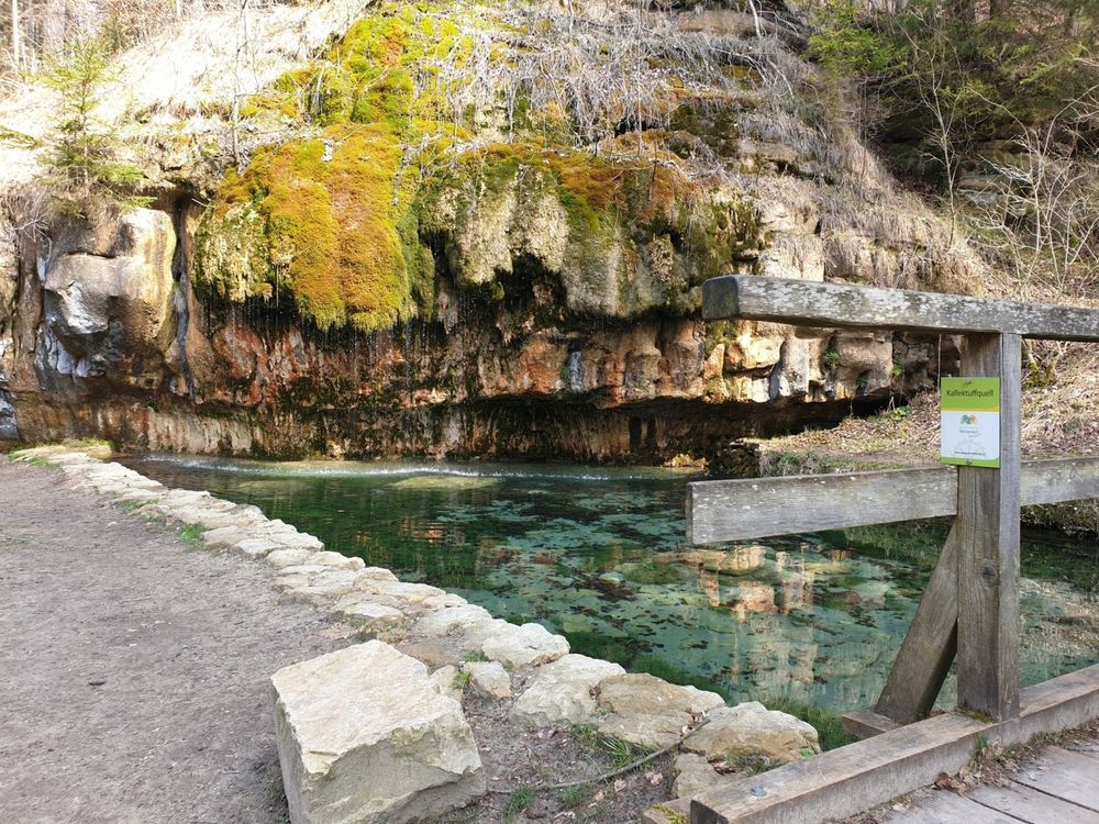
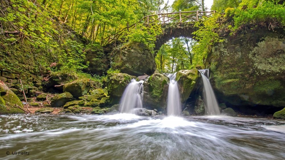
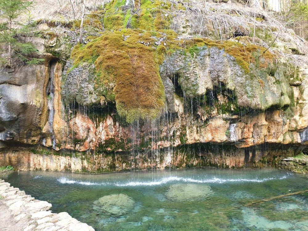
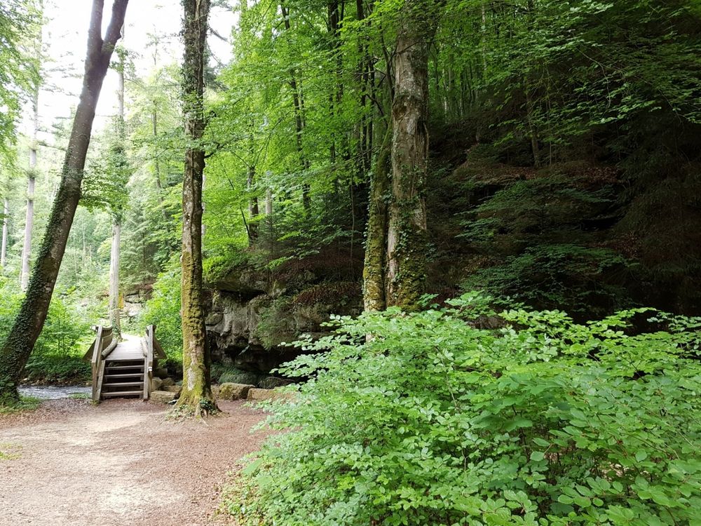
A wooden footbridge takes you to the impressive calcareous tuff spring, where water trickles softly over the rocky outcrop into a crystal-clear pond. A the end, you come across the most famous motive of the Mullerthal Region - Luxembourg's Little Switzerland, the Schiessentümpel with its picturesque stone bridge over the small waterfall.
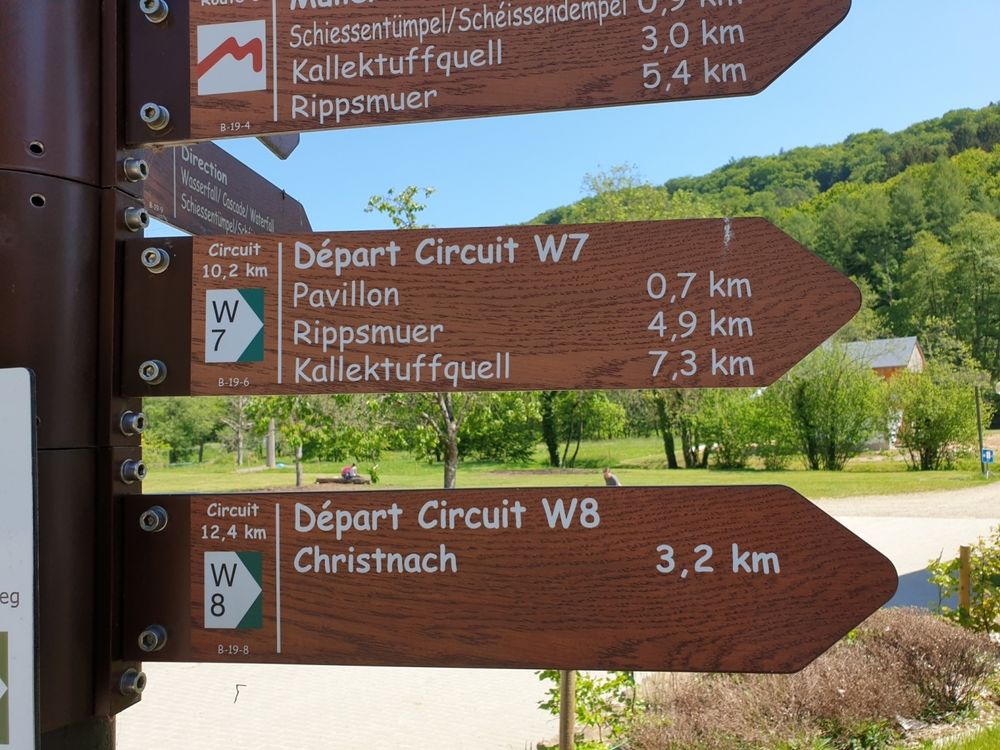
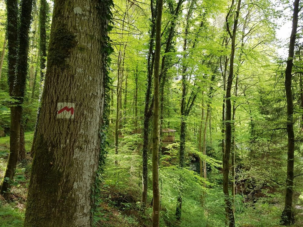
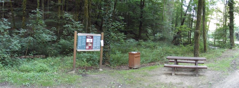
Signposting

Equipment
Sturdy shoes recommended, especially in wet weather.
Journey
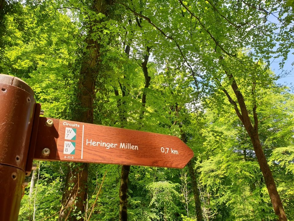
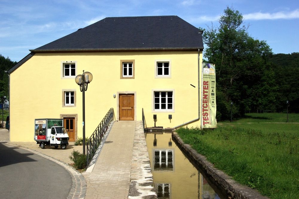
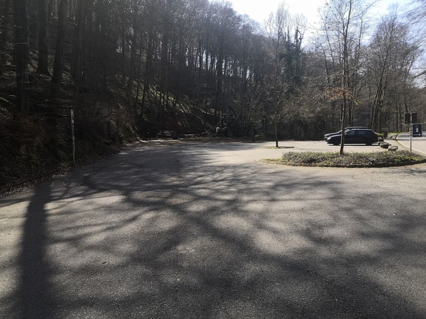
Parking: Closest parking lot: Heringer Millen


 This website uses technology and content from the Outdooractive Platform.