Description
With its only 3.6 km, this hike is suitable for you if you don't have much time or only want to hike short distances.
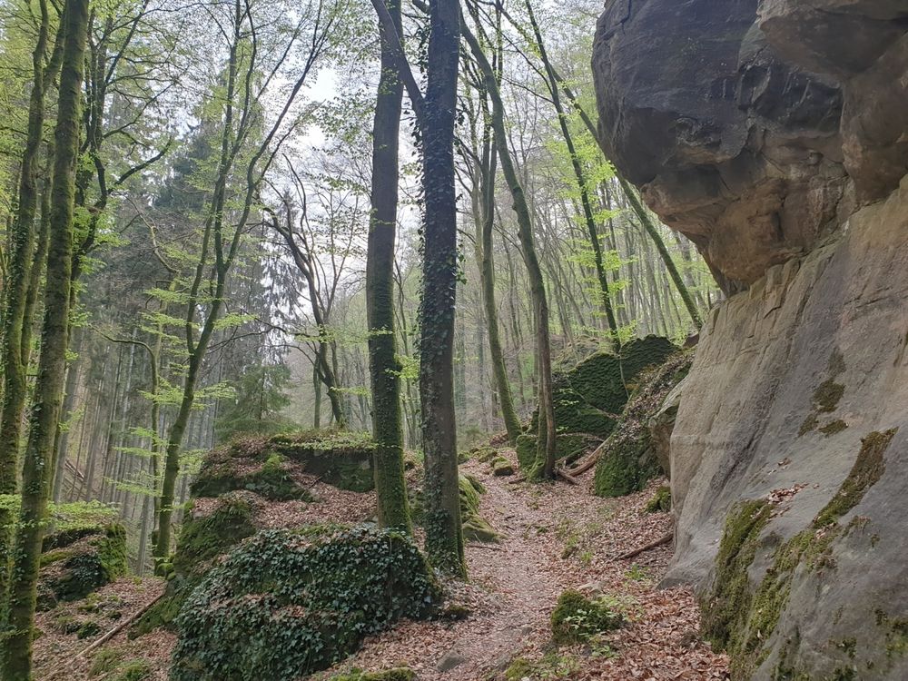
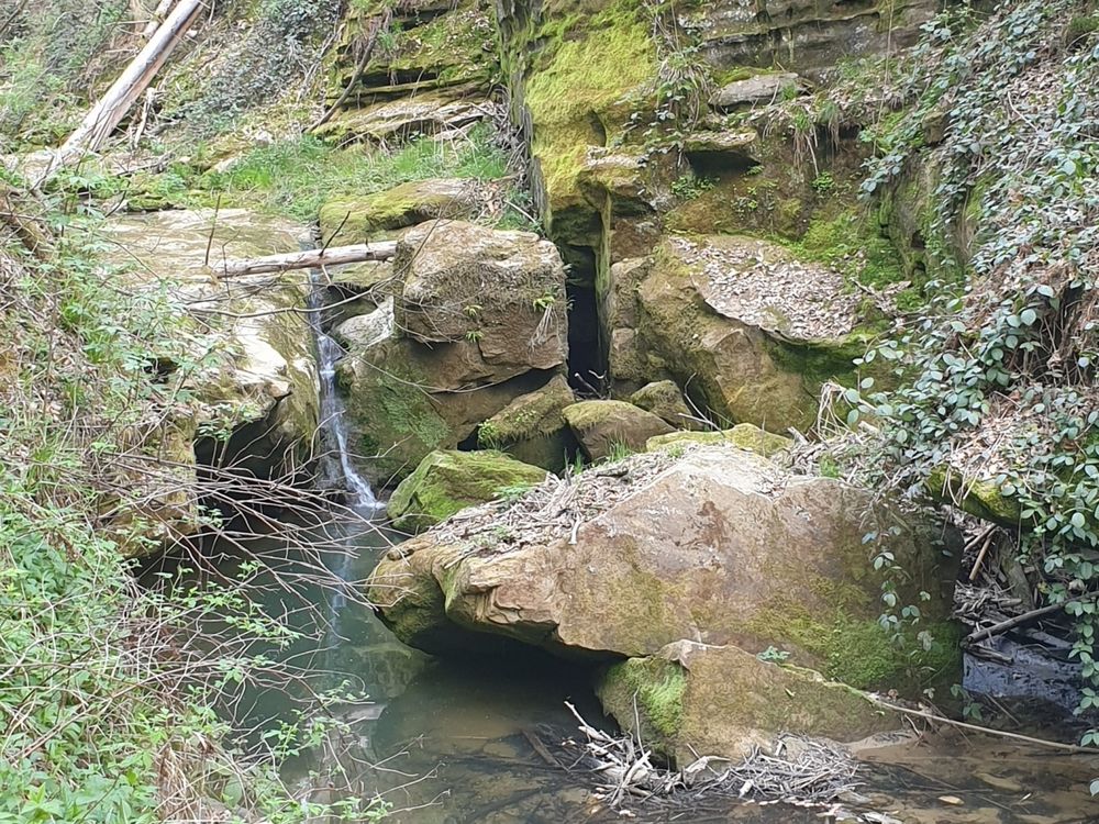
The path winds along narrow passages near Kaasselbaach into the Heringer Forest.
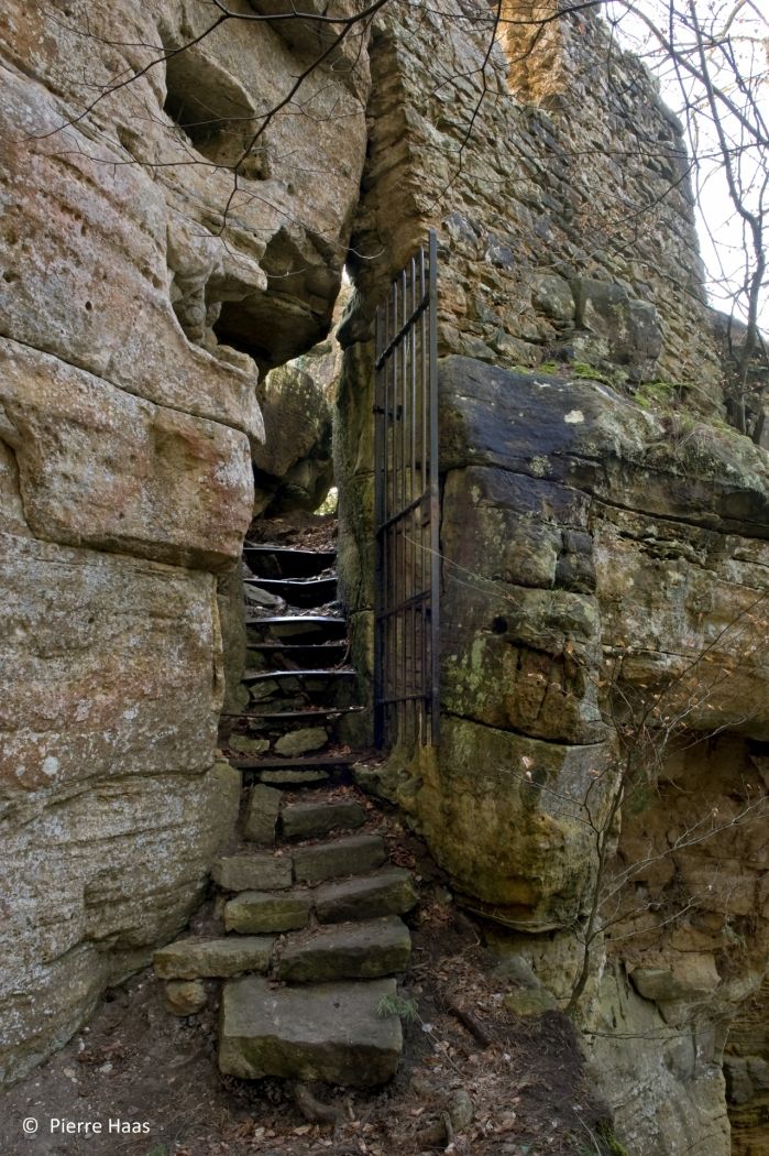
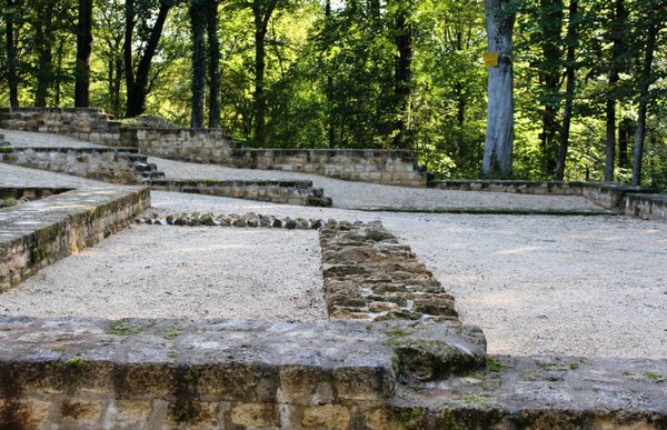
The highlight of this hike is certainly the ruins of the Heringer Castle. This place was used by the Heringer knights as a safe haven. Today, you still see the remains of the wall carved into the rock .
Signposting

Directions
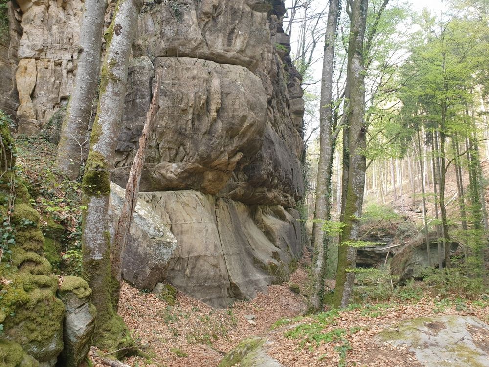
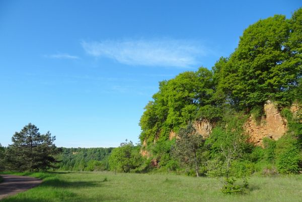
One in the forest, the path runs parallel to the Kaasselbaach. It is lined with the sandstone cliffs typical of the region.
You constantly walk slightly uphill until you reach the highest point of the hike. From here, you go downhill again.
You will face the highlight of the trail on the last section: the ruins of the ancient Heringer Castle. From here, you go back to your starting point.
Equipment
Journey
Parking: A parking place is located directly at the starting point.


 This website uses technology and content from the Outdooractive Platform.