© Visit Luxembourg
Müllerthal Germany France

Local hiking trail - R9

Starting point
Osweiler: Rue de l'école
Destination
Osweiler: Rue de l'école
Distance
8,91 km
Duration
2:25 h
Difficulty
medium
  • Condition
  • Technique
Highest point
390 Hm
Lowest point
236 Hm
Aggregated Ascent
154 Hm
Aggregated Descent
154 Hm
Circular routes Visit Luxembourg

Description

Scenic
This hiking trail takes you to four rememberance points of World War II in Osweiler and the surrounding area.

In autumn 1944, Luxembourg was nearly entirely liberated from the Nazi occupant by the allied armies. However the allied armies were forced to stop at the « Siegfried line» and Osweiler suddenly became a front village.                        

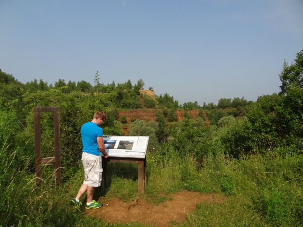
You can see 4 memorial points of World War 2 in Osweiler:

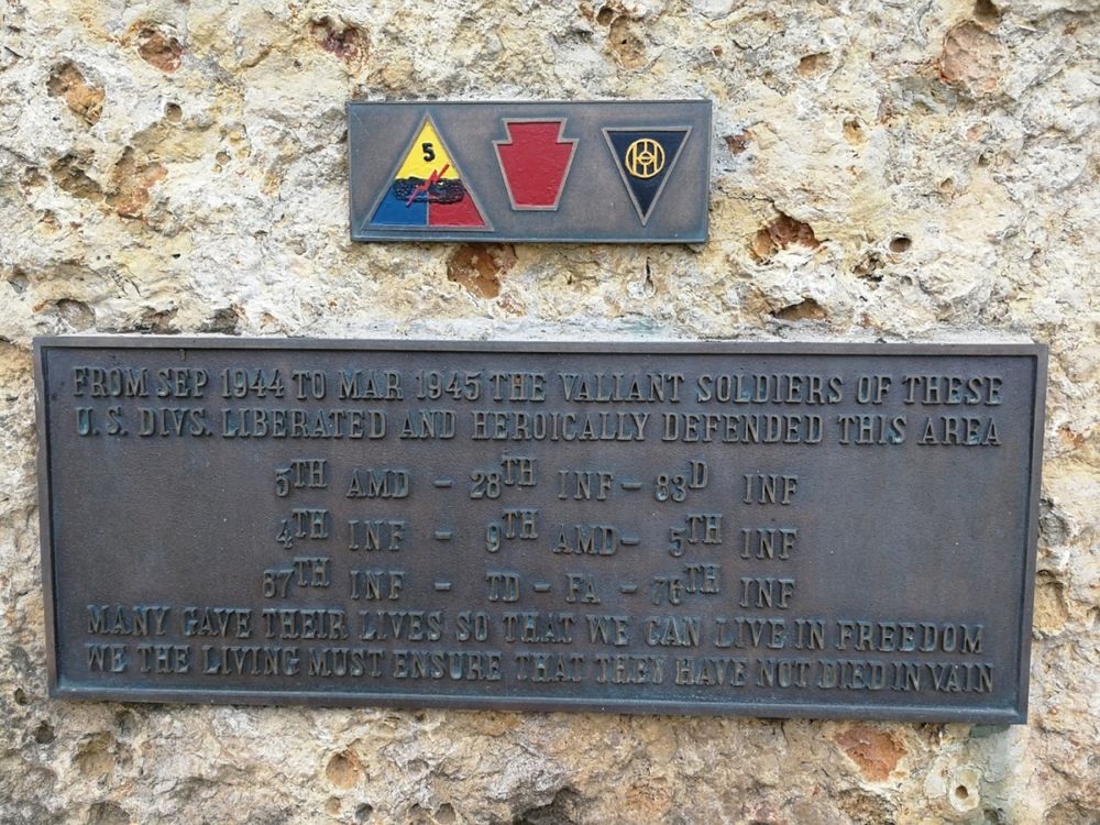
  • A panel on the outside wall of the school in honor of the American soldiers who kept their position in the front sector Osweiler – Dickweiler during the Battle of the Bulge.
  • Memorial „um Schänkebierg“ in honor of the American soldiers who liberated Osweiler on 13th September 1944.
  • Monument in the forest called « Grussebësch » for all the families who got evacuated in 1944.
  • A relief inside the local church in memorial of the 10 men from Osweiler who died during World War 2 (in a concentration camp, or on the eastern front or during imprisonment in Russia after having been enrolled by force in the German army).

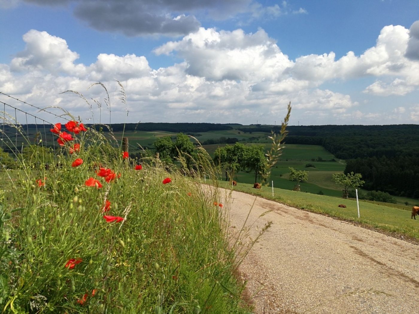
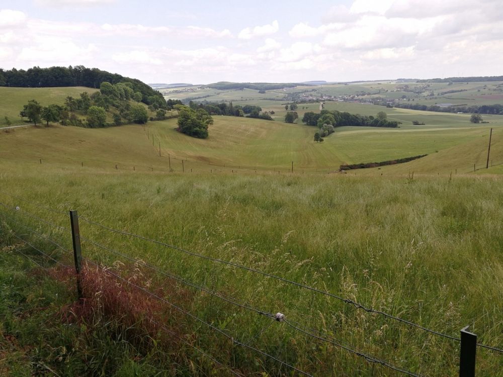
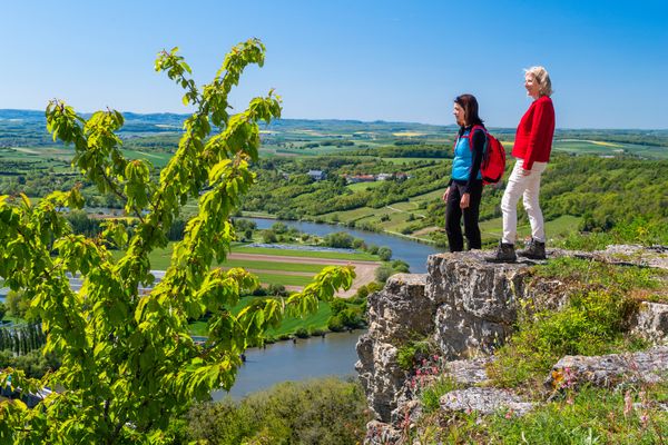
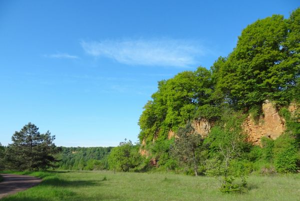
You mainly walk along fields and enjoy wide views over the plateau.
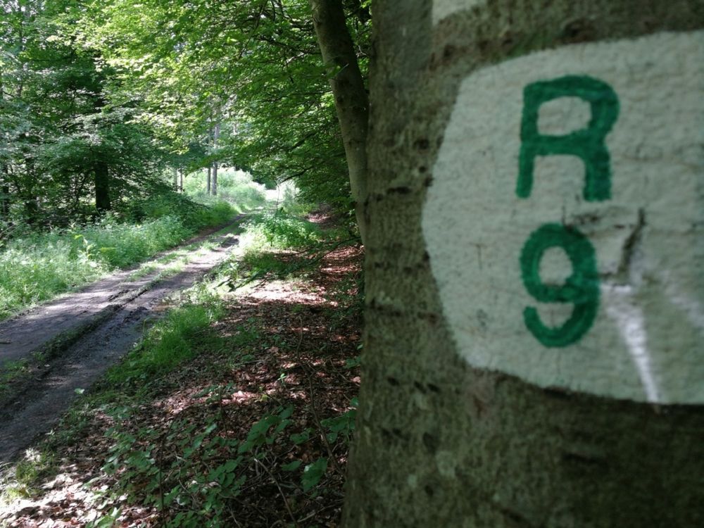
Similar hiking tours

© © Wanderbüro Saar-Hunsrück, Klaus-Peter Kappest, SaarSchleifenLand
Dream loops
"Traumschleife" Schengen without borders
Distance: 8,54 km
Duration: 3:30 h
Difficulty: medium
Find out more
© Visit Luxembourg
Distance trails
21 Station to station Bettembourg - Dudelange-Burange
Distance: 14,66 km
Duration: 3:45 h
Difficulty: medium
Find out more
© CFL, Visit Luxembourg
Distance trails
22 Station to Station Dudelange - Burange - Rumelange
Distance: 10,22 km
Duration: 3:05 h
Difficulty: medium
Find out more
© ORT Sud
Distance trails
23 Station to station Rumelange - Kayl
Distance: 12,57 km
Duration: 3:25 h
Difficulty: medium
Find out more
© Visit Luxembourg
Distance trails
25 Station to station Kayl - Schifflange - Esch-sur-Alzette
Distance: 21,71 km
Duration: 6:05 h
Difficulty: medium
Find out more
© Pulsa Pictures, ORT SUD
Distance trails
26 Station to station Esch-sur-Alzette - Belvaux-Soleuvre
Distance: 9,05 km
Duration: 2:30 h
Difficulty: medium
Find out more
© Visit Luxembourg
Distance trails
27 Station to station Belvaux-Soleuvre-Oberkorn
Distance: 5,20 km
Duration: 1:25 h
Difficulty: medium
Find out more
© ORT Sud
Distance trails
28 Station to station Oberkorn - Niederkorn
Distance: 8,69 km
Duration: 2:25 h
Difficulty: medium
Find out more
© ORT Sud
Distance trails
29 Station to station Niederkorn - Rodange
Distance: 10,12 km
Duration: 2:55 h
Difficulty: medium
Find out more