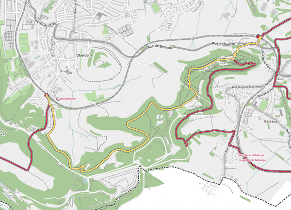
Description
This varied circular tour first leads along a part of the Medernach Kengert barefoot path where you can take off your shoes and discover the ground. There is also the Motorikpark where you can test your balance and coordination. Then you walk past a spring called Ousterbur which has drinking water quality. After that you stroll through the busy town of Larochette where you can take a rest at one of the numerous cafes and its lively Place Bleech. From there you will be accompanied by great views of Larochette castle. Forests, meadows and open land alternate on this path.
Signposting

Directions
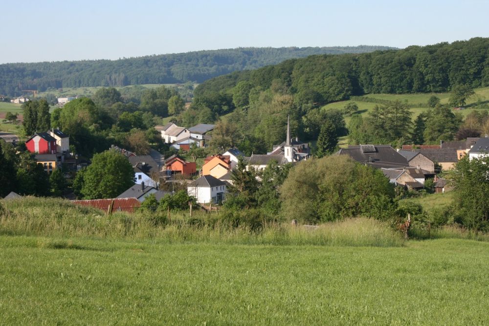
The tour starts in front of the town hall of Medernach. From there you leave the village and start your ascent that leads along fields and into the forest with a beautiful view of Medernach. Here comes the first highlight: the barefoot path that runs parallel to your hiking trail for a short section. If you want, you can take off your shoes and go barefoot for 700 m. There is also a motor skills park here (Motorikpark), where you can test your balance. The Kengert campsite is located nearby and offers refreshments.
From there you continue over meadows and through the forest, along a stream and past the spring of Ousterbuer. There is a beautiful story about this spring about two friends who were reconciled after an argument here on Easter Day and whose tears of reconciliation are said to be the water of the source. The water from this spring is of drinking water quality.
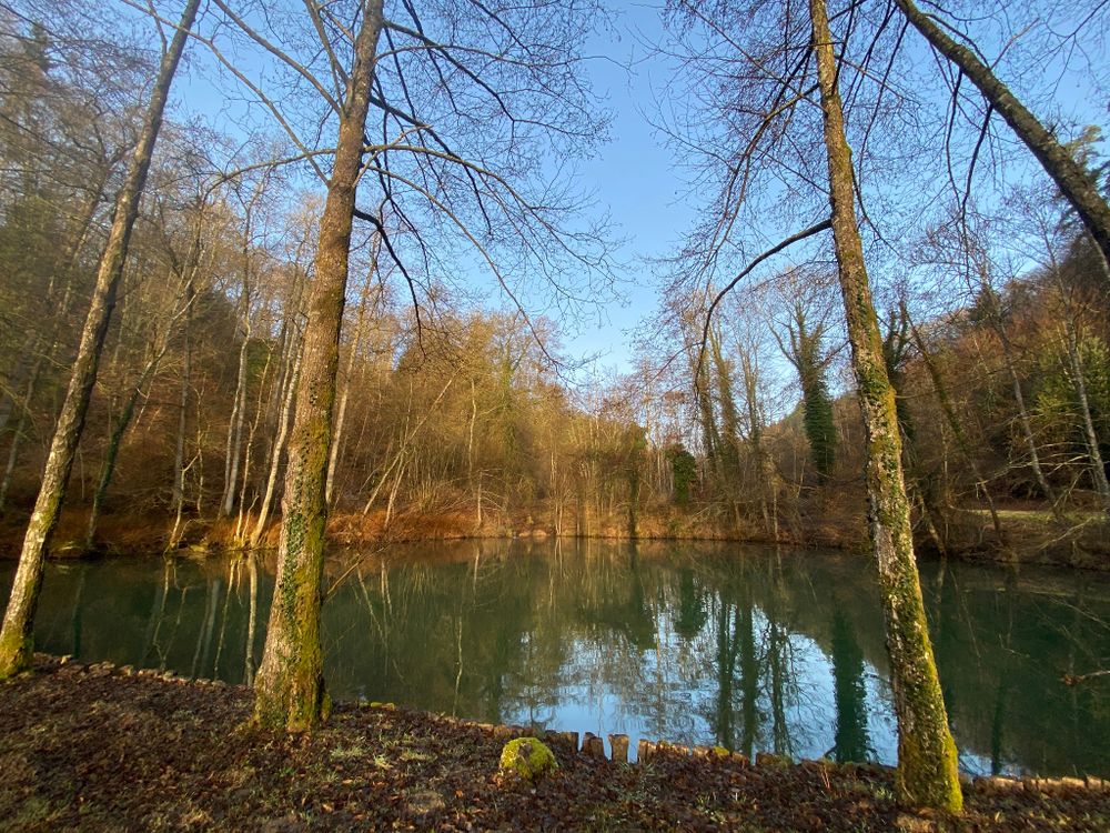
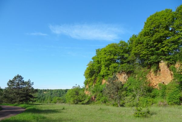
The path continues along beautiful rock formations, until you come out of the forest and stand above two ponds. A staircase leads down from there.
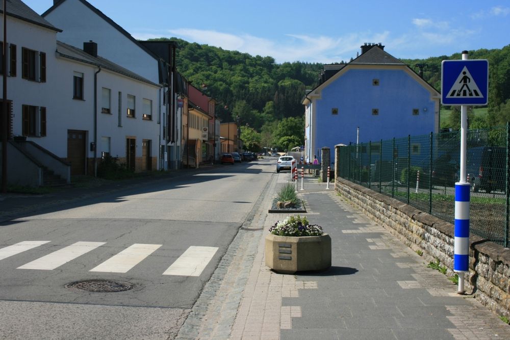
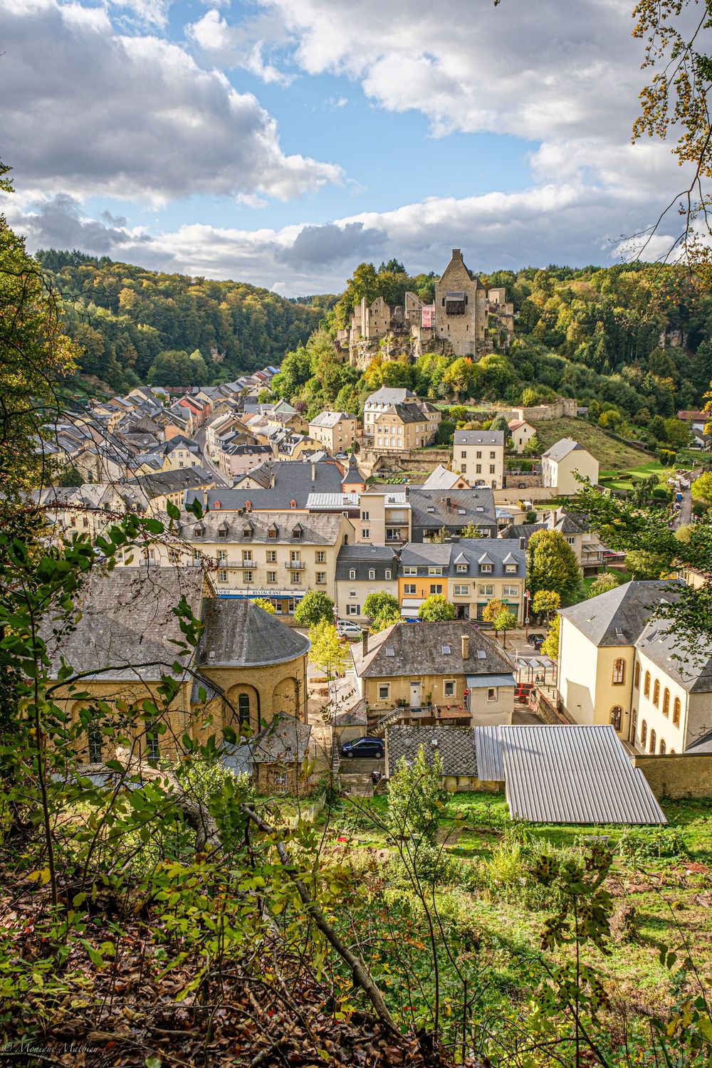
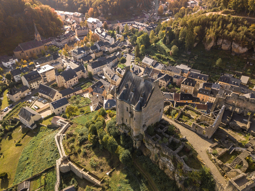
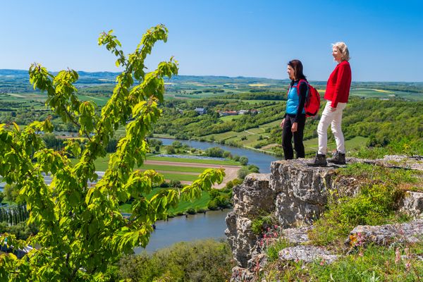
Now the path leads into Larochette - a busy place with a few small cafes, a lively square and many places to stop for a break. If you want, you can make a short detour to the modern tourist information in Larochette or just watch the hustle and bustle of life.
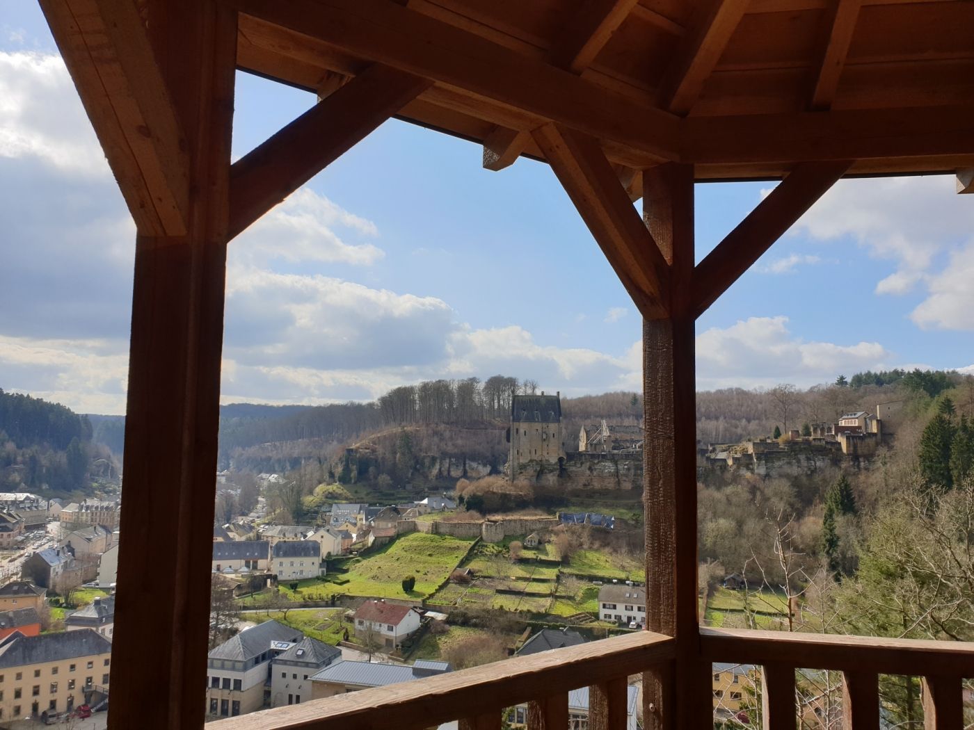
Behind the church of Larochette there is another ascent through the forest to Himmelsbierg. The name of this place suggests that you are practically in heaven and you can enjoy a fantastic view of Larochette castle.
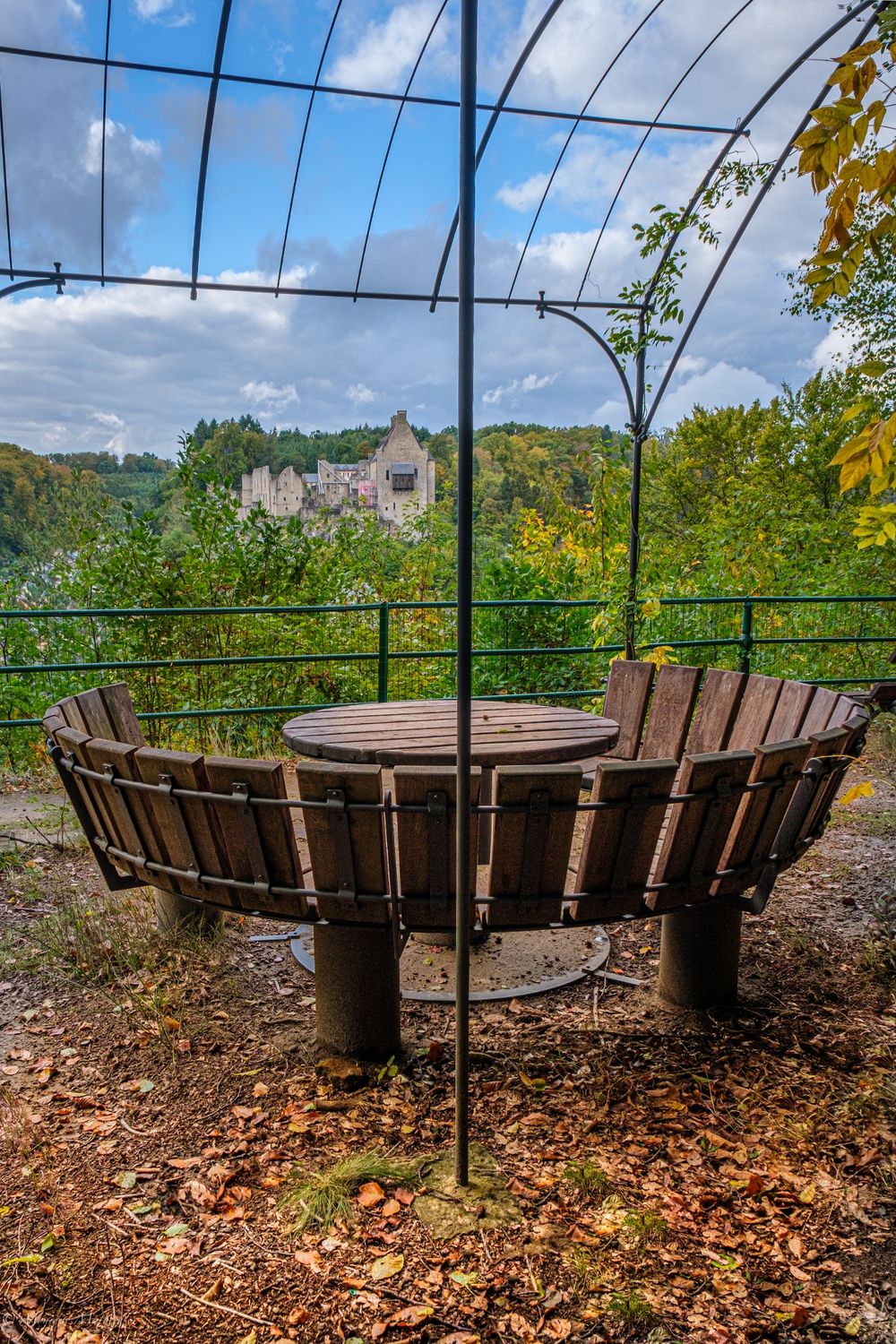
You will enjoy another beautiful view a bit later at the Salzdeebelchen. There is a pavilion, which is ideal for a short break and a moment of silence.
In the further course the path leads alternately through forest and open landscape, past some ancient farms. You will reach the highest point of the hike (400 m). From here you start the last two kilometers of the hike back to Medernach. There are places to stop for refreshments here.


 This website uses technology and content from the Outdooractive Platform.