Circular routes Visit Luxembourg
Description
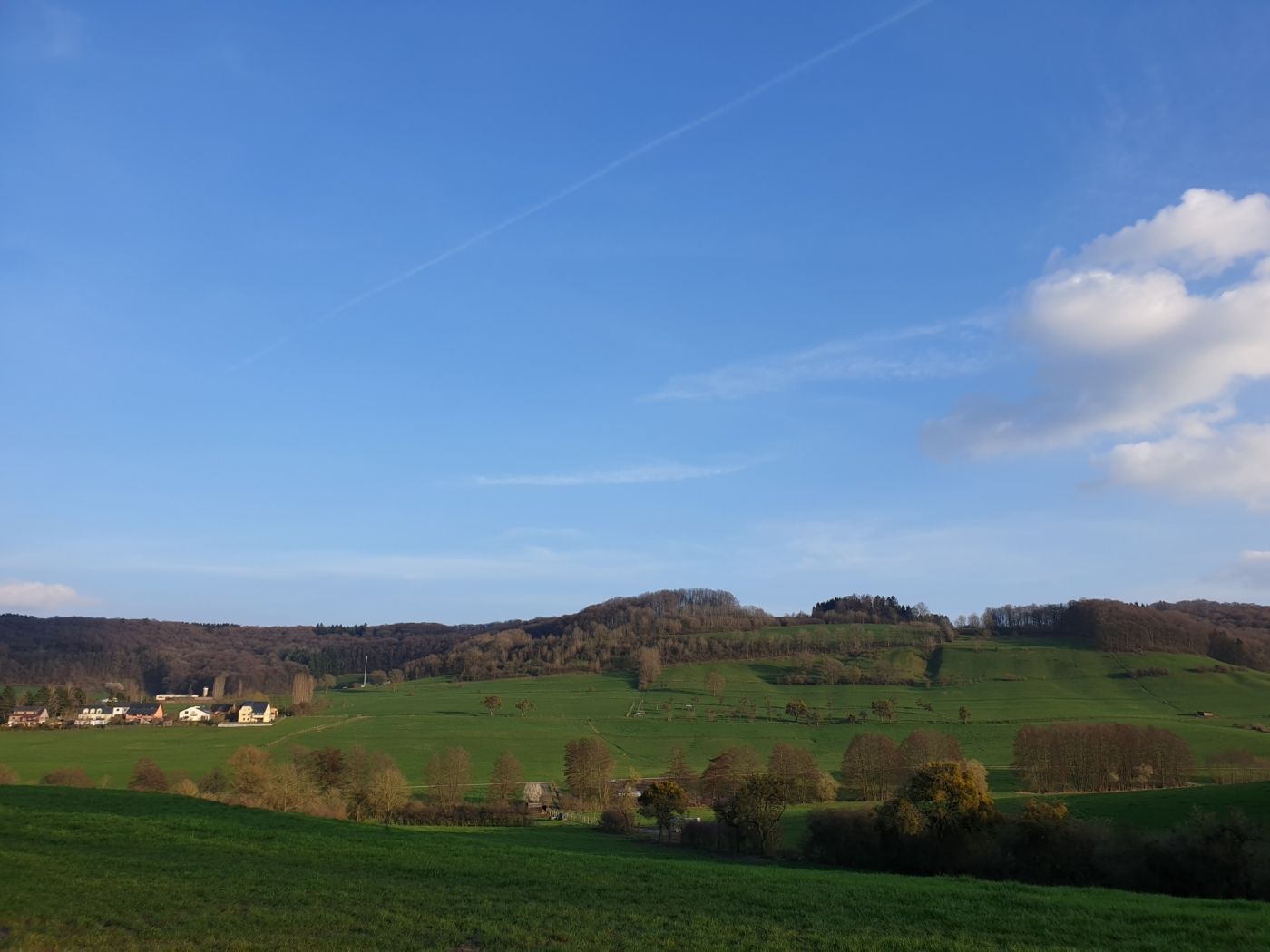
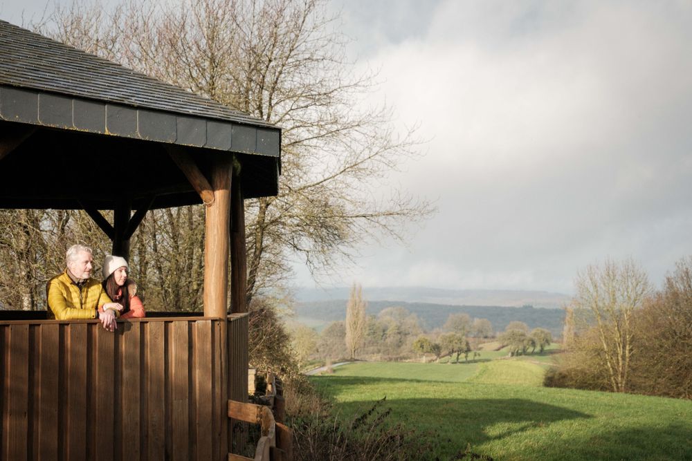
This varied hiking trail leads you through beautiful forests to the idyllic village of Eppeldorf and offers beautiful views.
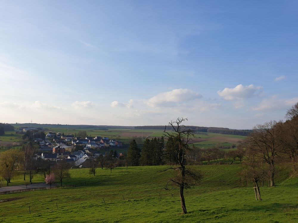
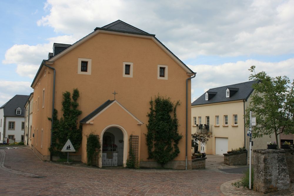
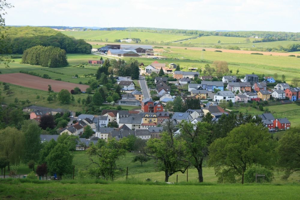
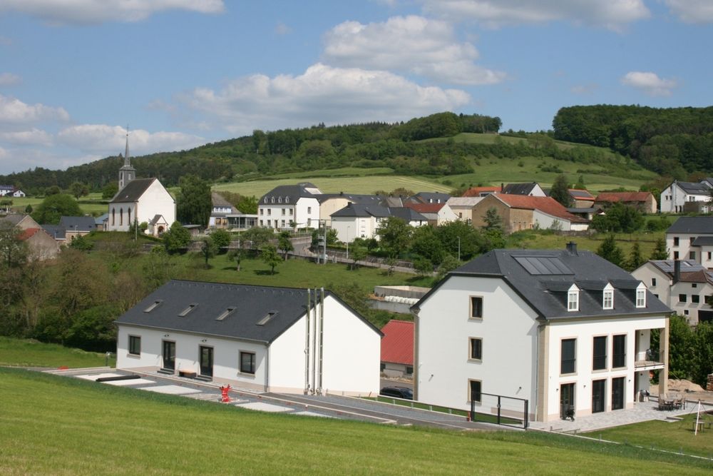
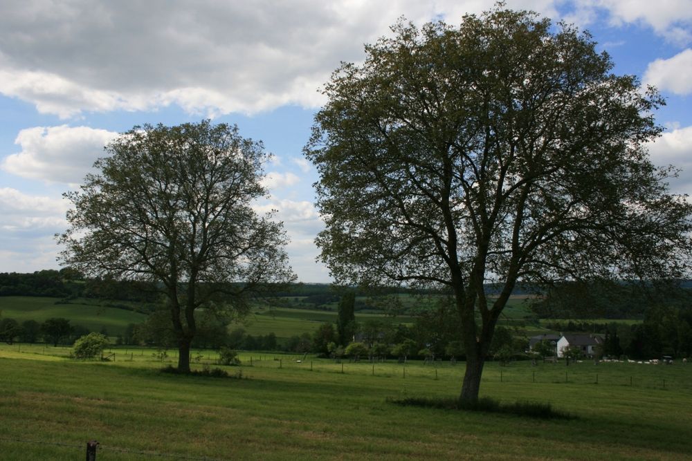
The hiking trail starts at the cemetery of Ermsdorf and leads through beautiful forests and open plateau landscapes and the idyllic village Eppeldorf.
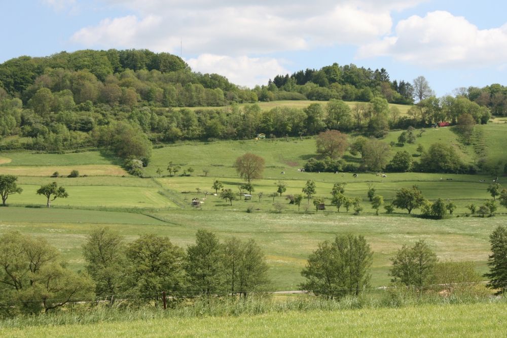
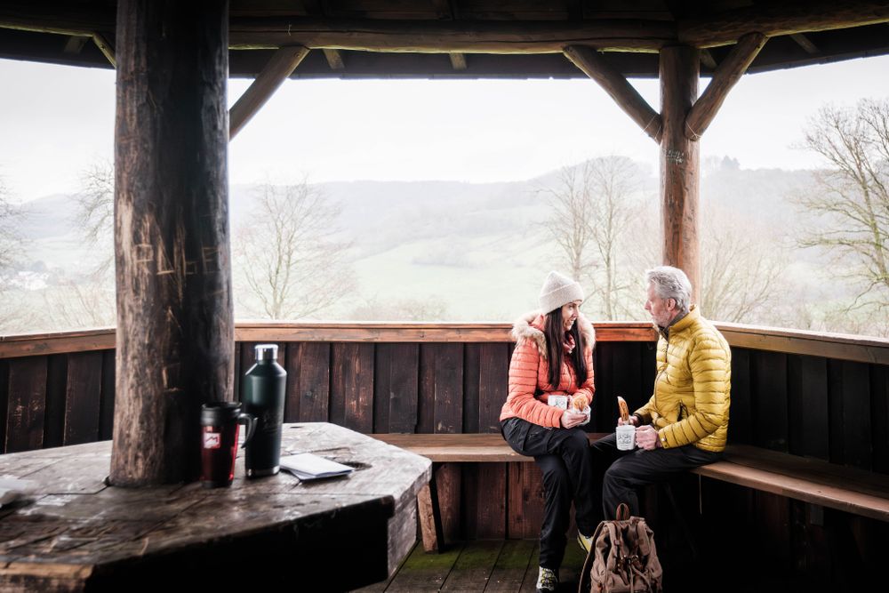
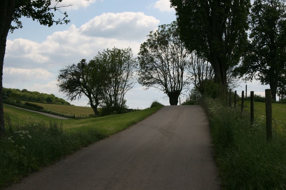
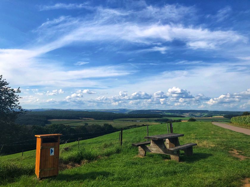
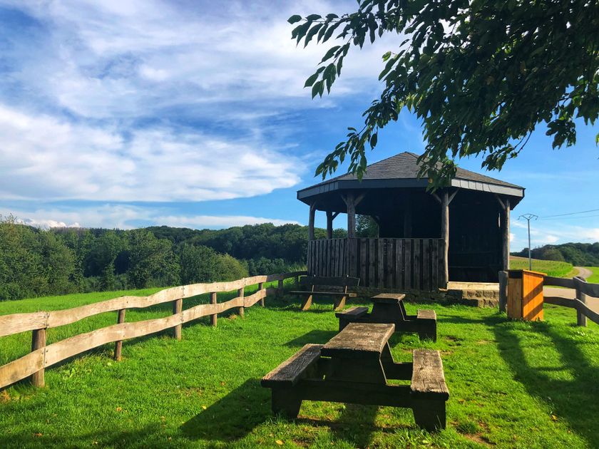
First, the path climbs up to 421m altitude, where it offers a magnificent view of the heights of the Ardennes. On the way to the well-preserved farming village of Eppeldorf which has a beautiful church with baroque church furniture, you walk past the grotto of Eppeldorf. It was built by survivors after the war, out of gratitude. From Eppeldorf the path leads down to the creek Kriibsebaach and then climbs back up to the viewpoint Belvédère with its picnic area. Along a passage with many viewpoints you walk back to Ermsdorf.
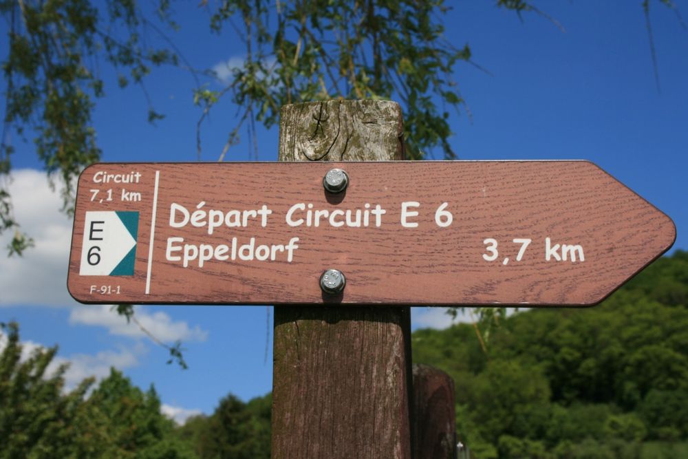
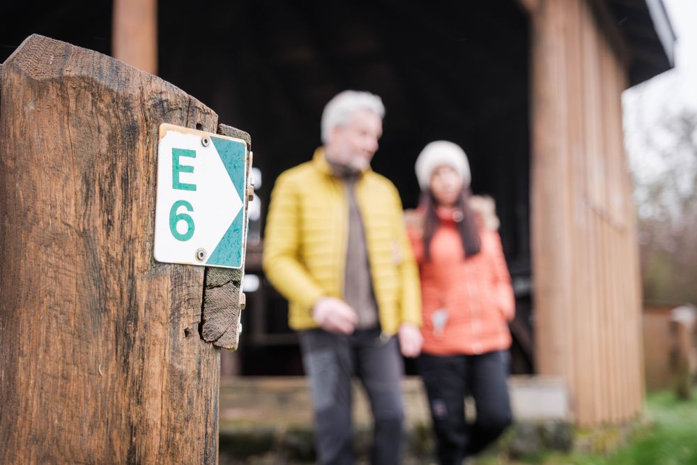
Signposting

Equipment
Sturdy shoes recommended, especially in wet weather.
Journey
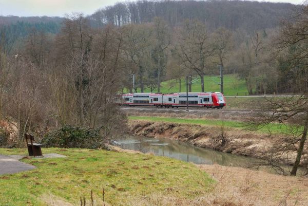
Public transport: Closest bus stop: Ermsdorf (500 m)
Parking: Closest parking lot: Cemetery (50 m)
Parking: Closest parking lot: Cemetery (50 m)


 This website uses technology and content from the Outdooractive Platform.