Description
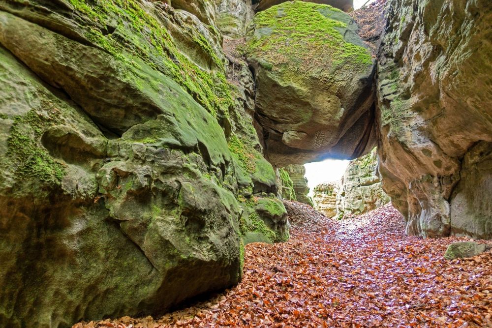
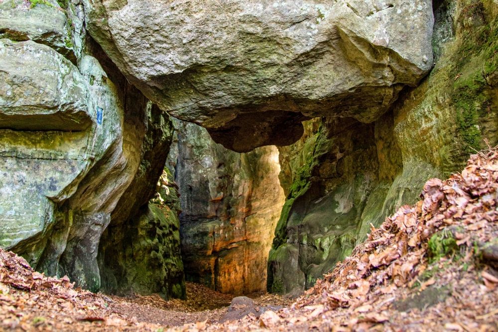
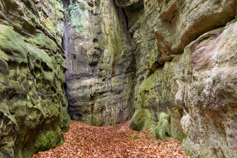
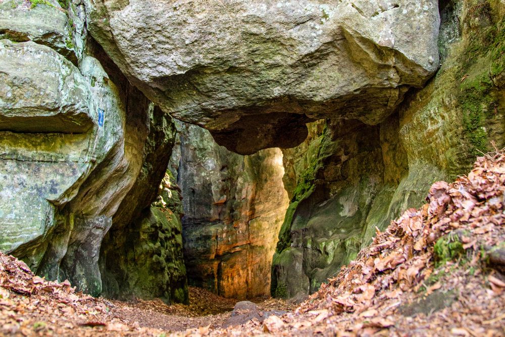
This aventurous cave tour is known as "Adventure Kuelscheier" due to the walk through narrow rock passages and the dark crevice Kuelscheier which is more than 100 meters long.
Bring along a flashlight or use your phone lamp for this tour.
If you are claustrophobic, you can walk around the Kuelscheier.
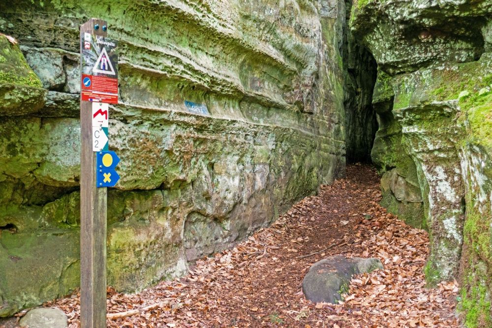
Signposting
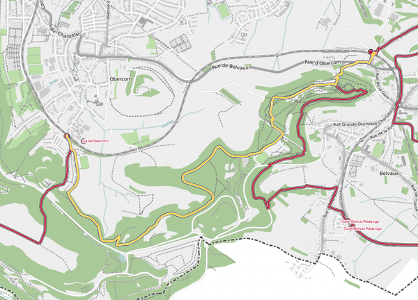
Directions
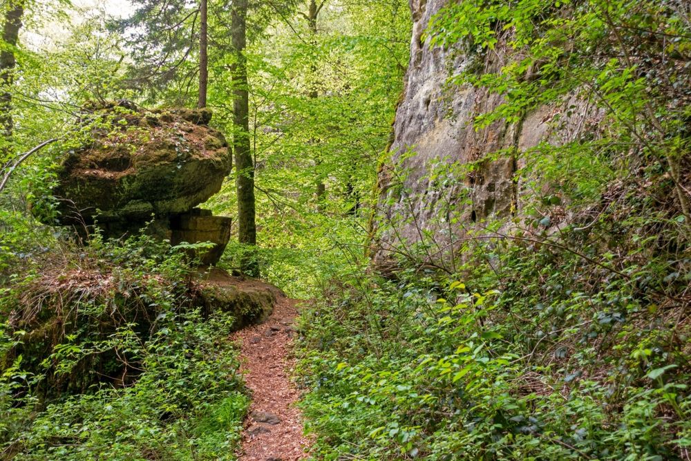
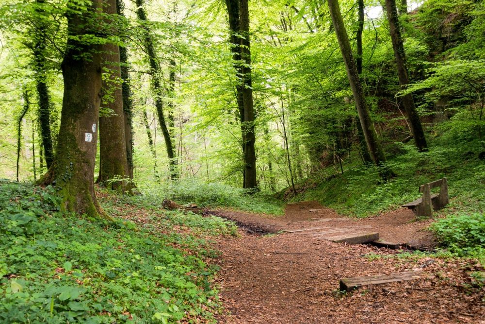
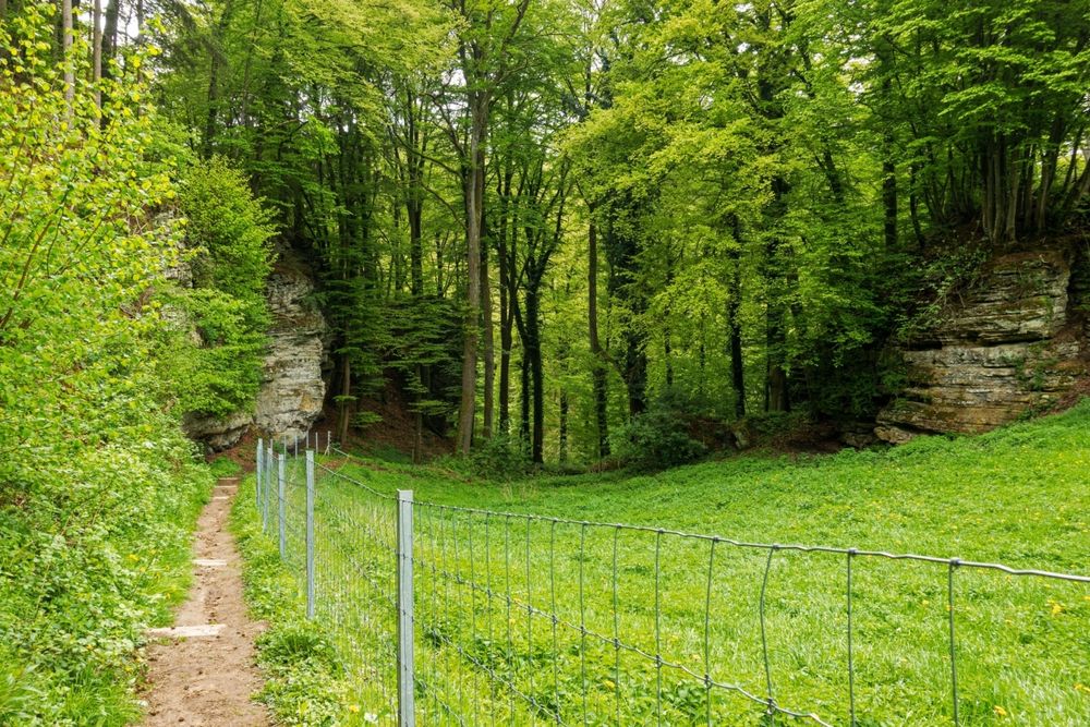
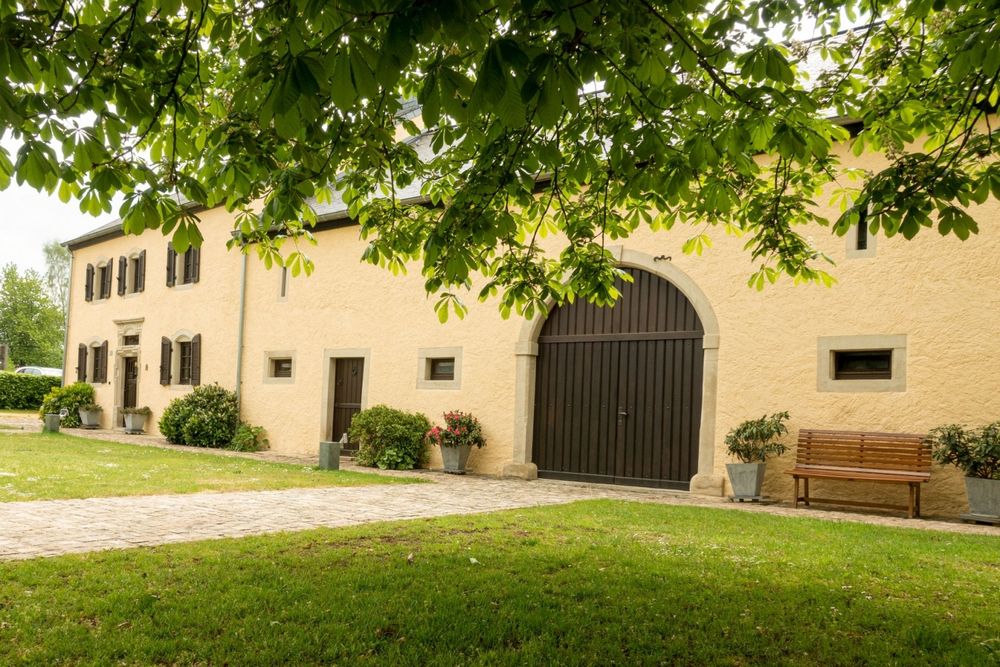
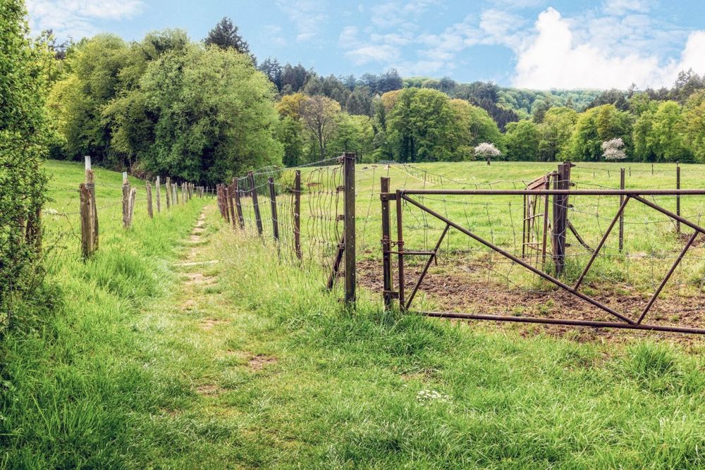
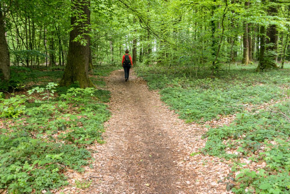
The path first leads through the village of Consdorf with its typical farm houses. The oldest house of the villag, in Huelewee, was built in 1756. From there on, you leave the streets of the village and walk on a narrow meadow path that leads you to a small spring, locally known as Nidderbierchelchen. You then walk towards the valley of Härdbaach.
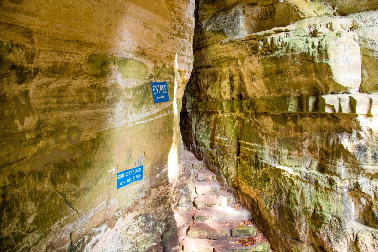
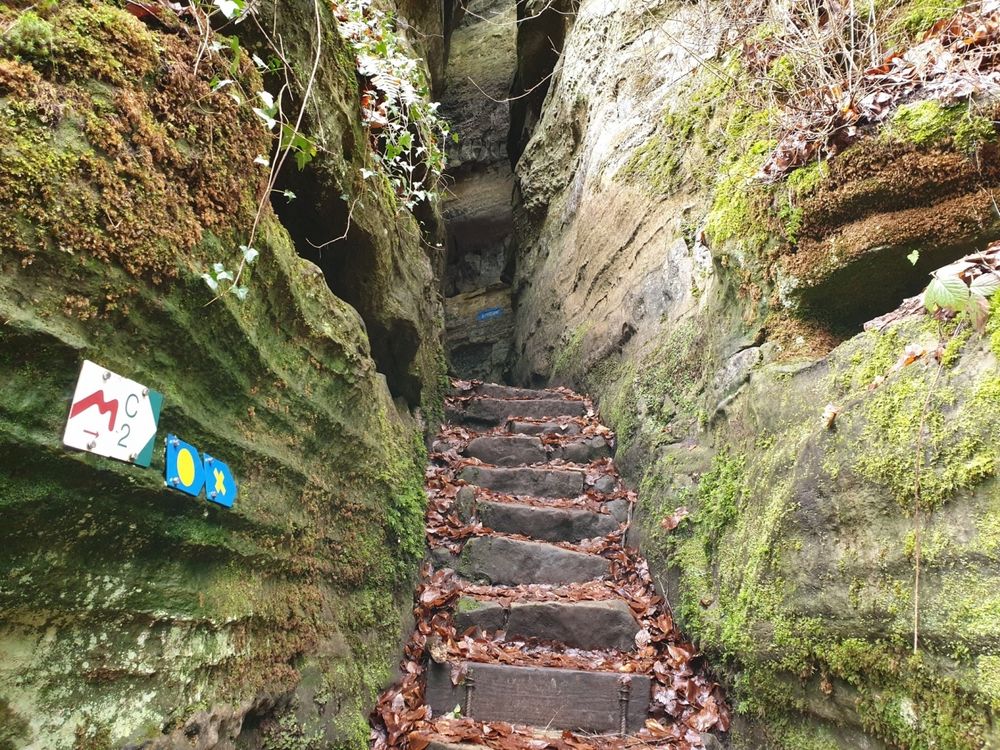
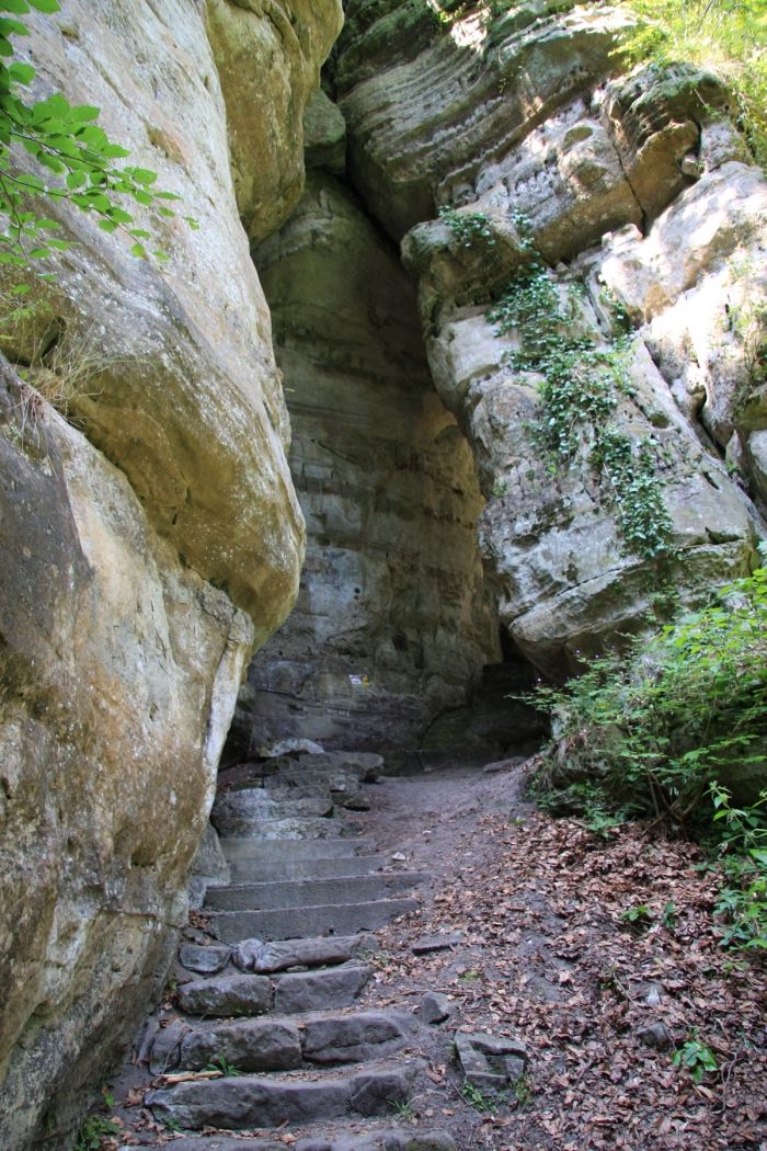
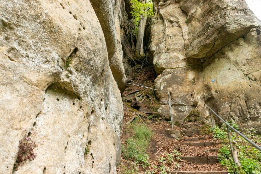
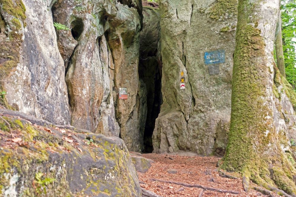
After a few hundred meters up-creek on a wide forest trail, you take a small path with many stairs on your right. You will reach two very narrow rocky passages called Rittergang and Déiwepëtz.
The absolute highlight of the tour the pitch-black rocky passage Kuelscheier which you cross. You get back to your starting point on a slightly ascending path alongside several swamps in the forest called Seiert.
Equipment
Journey
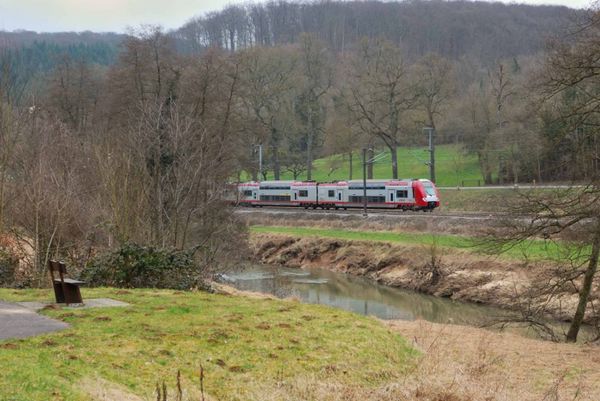
Parking: Closest parking lot: Consdorf Gare (50 m)


 This website uses technology and content from the Outdooractive Platform.