Circular routes
Description
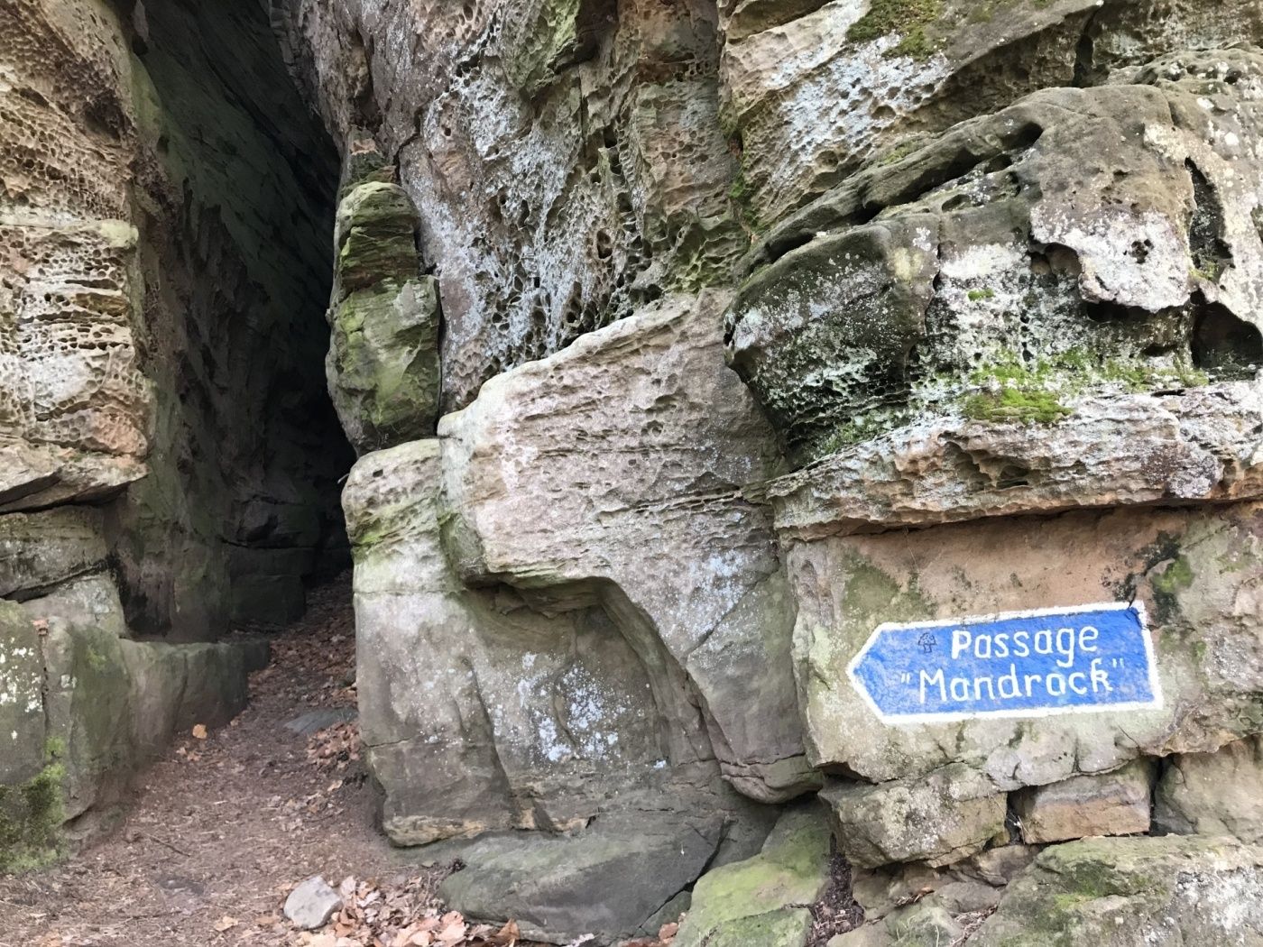
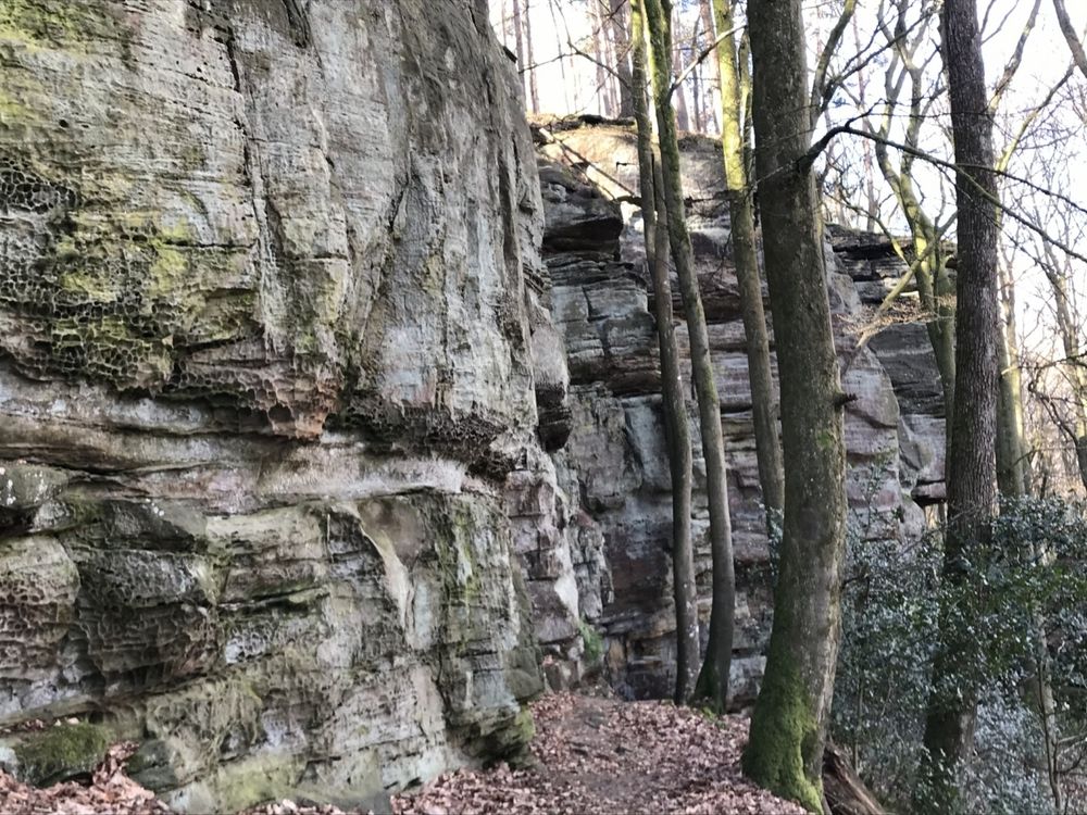
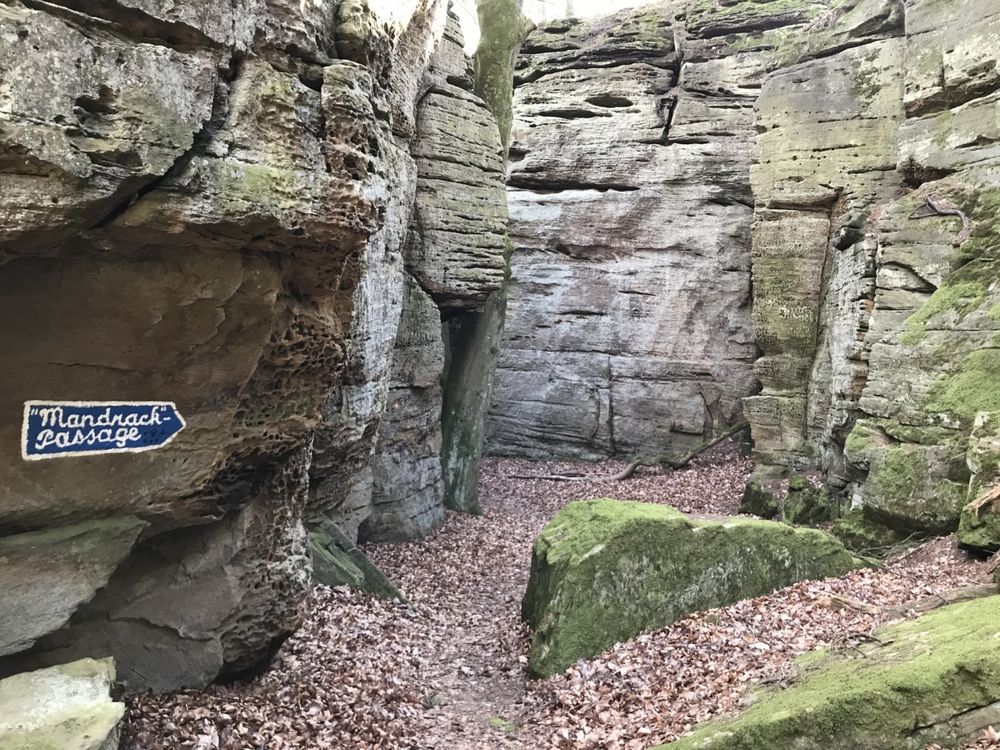
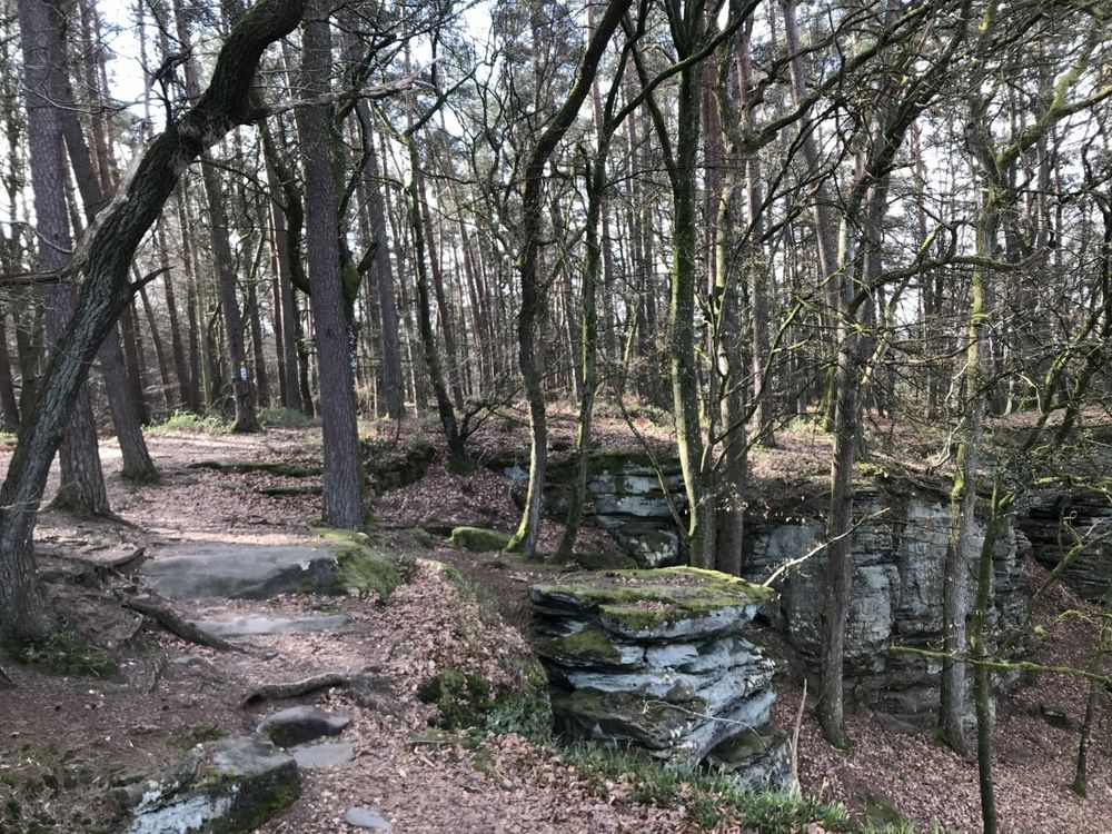
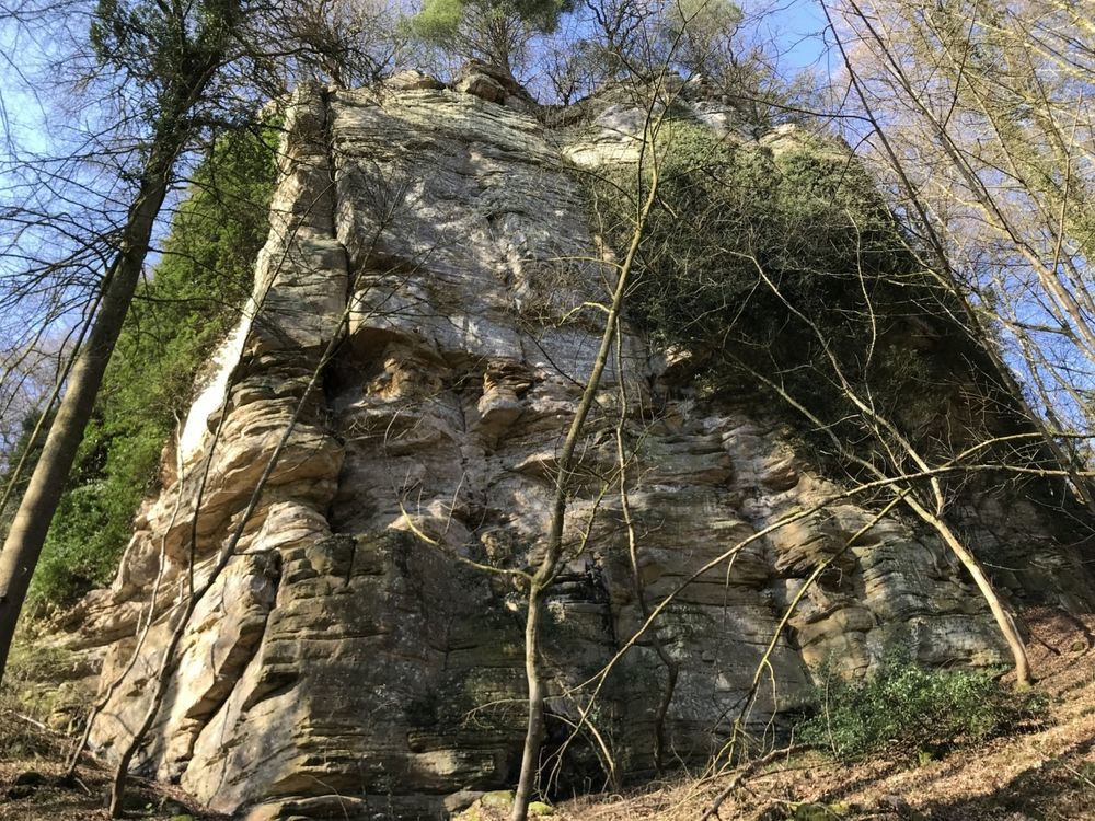
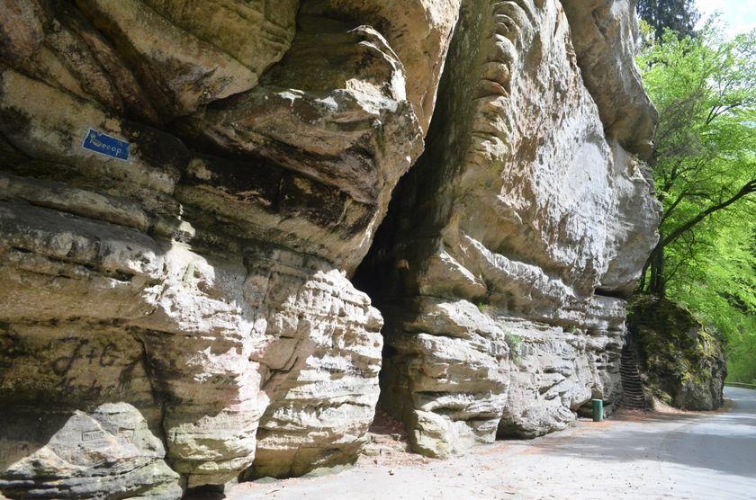
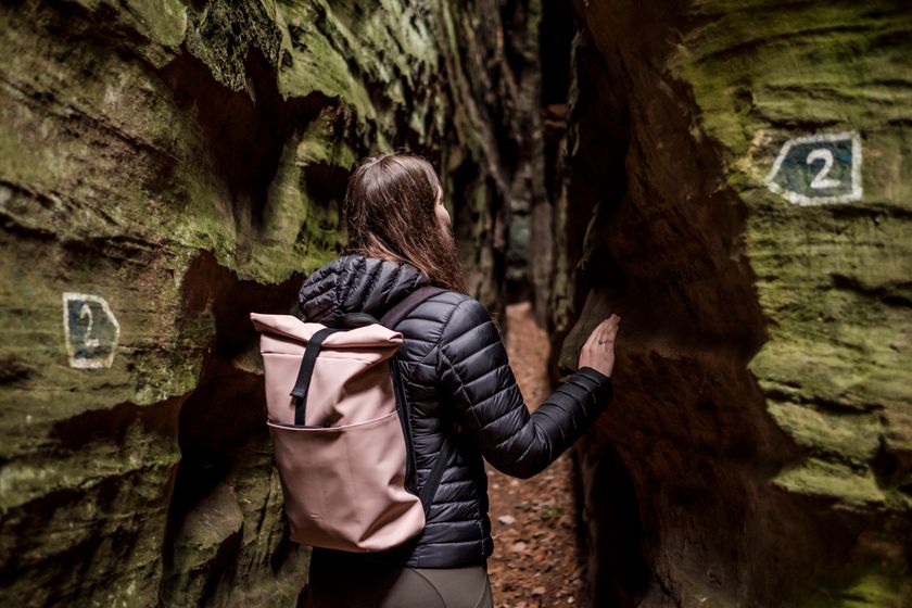
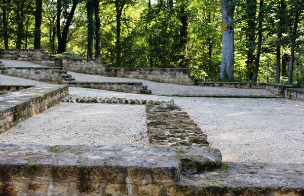
Diverse trail through the rocks (Mandrack Passage) with scenic views of various valleys.
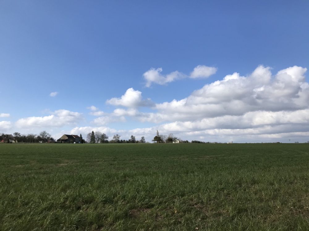
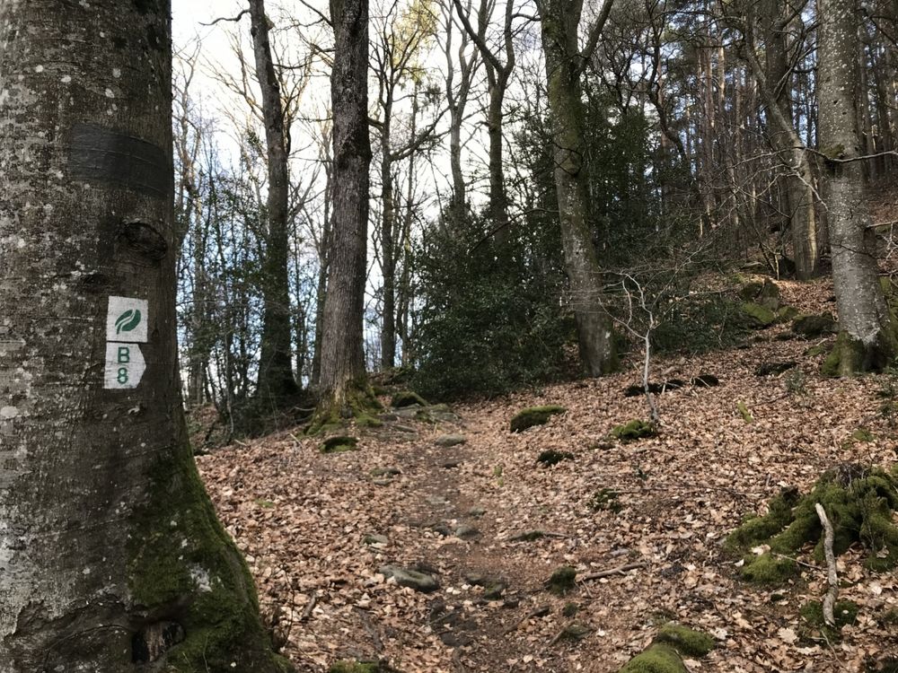
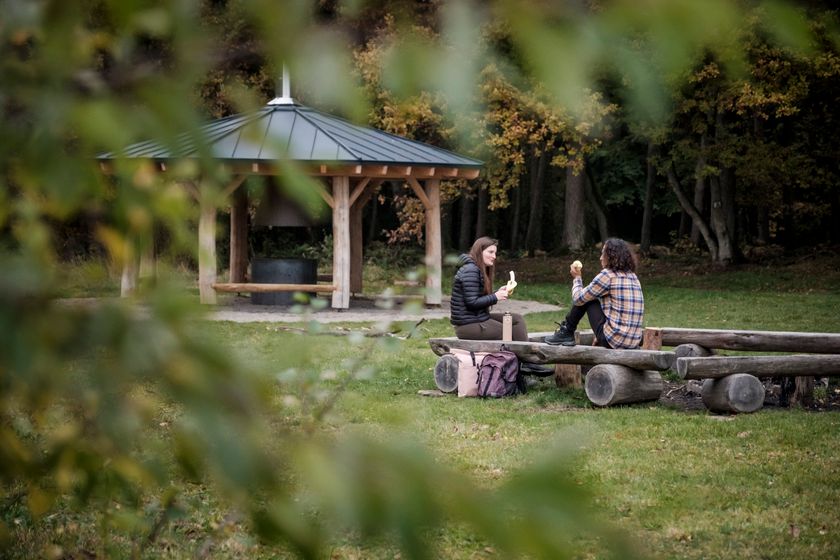
B8 is the longest local ike in Berdorf. It departs and arrives on an intersection north-east of Berdorf. After about 1km through the fields, you reach Grillplaaz where you can make a BBQ and where there are enough places to sit.
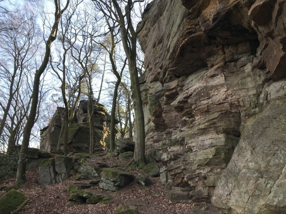
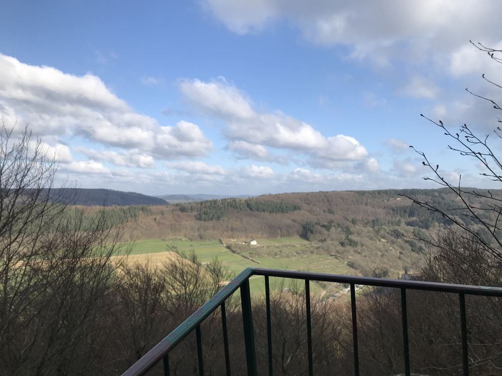
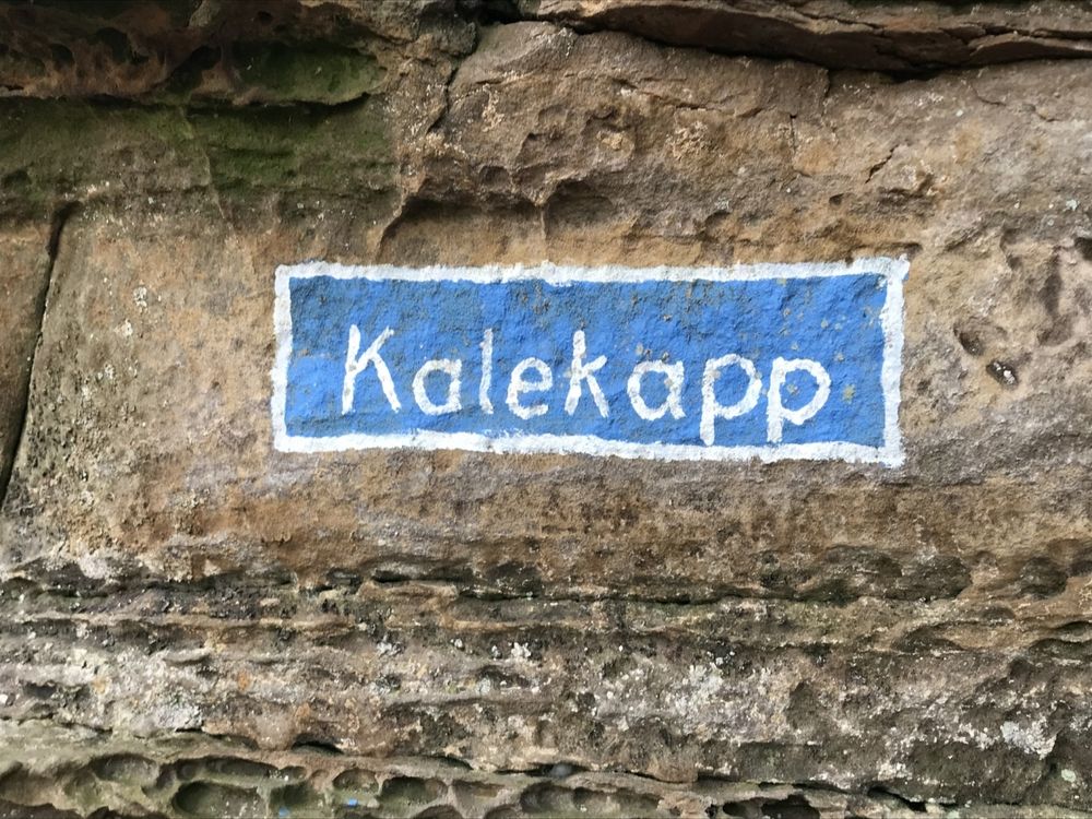
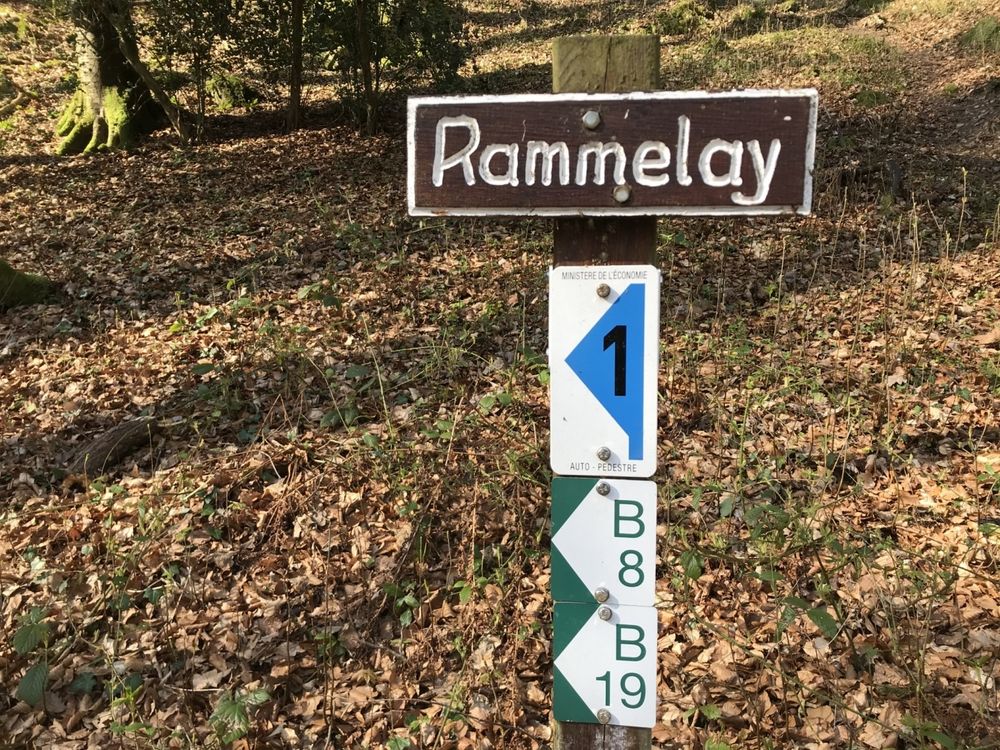
From there the path continues quite flat and takes you through the woods to Kaasselt. From this rock, you enjoy a beautiful view of the valley. You continue past the rocks to Mandrack Passage, a long and narrow passage between the rocks, and the view point Kalekapp and Rammelee. At Geierslee, you enjoy a magnificent view of Echternach. You then walk along the rock formation Zigeinerlee before getting back to your starting point.
Signposting
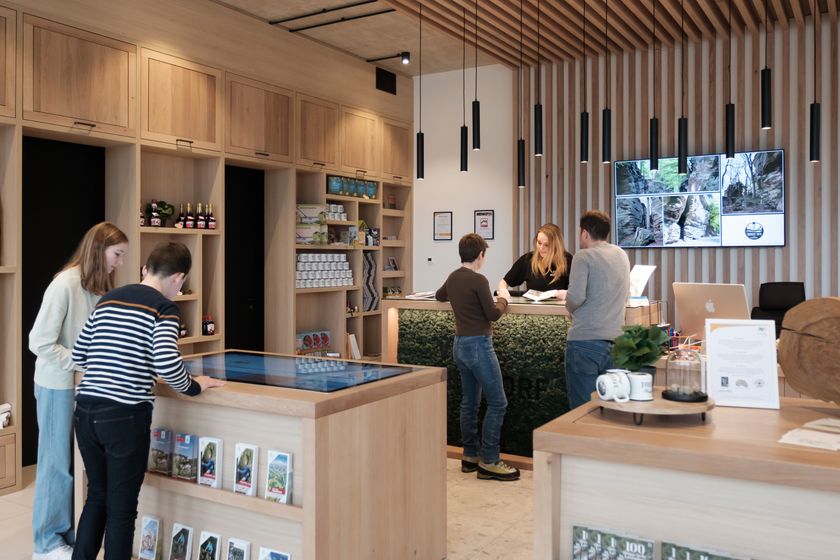
Equipment
Sturdy shoes
Journey
Public transport: Nearest bus stop: Berdorf, Hotel Herber
Getting there: From Echternach via the N10, CR364 or from Luxembourg-City via the E29, CR137
Parking: A car park is available in the village centre and at the cultural centre (400m).
Getting there: From Echternach via the N10, CR364 or from Luxembourg-City via the E29, CR137
Parking: A car park is available in the village centre and at the cultural centre (400m).


 This website uses technology and content from the Outdooractive Platform.