Circular routes Visit Luxembourg
Description
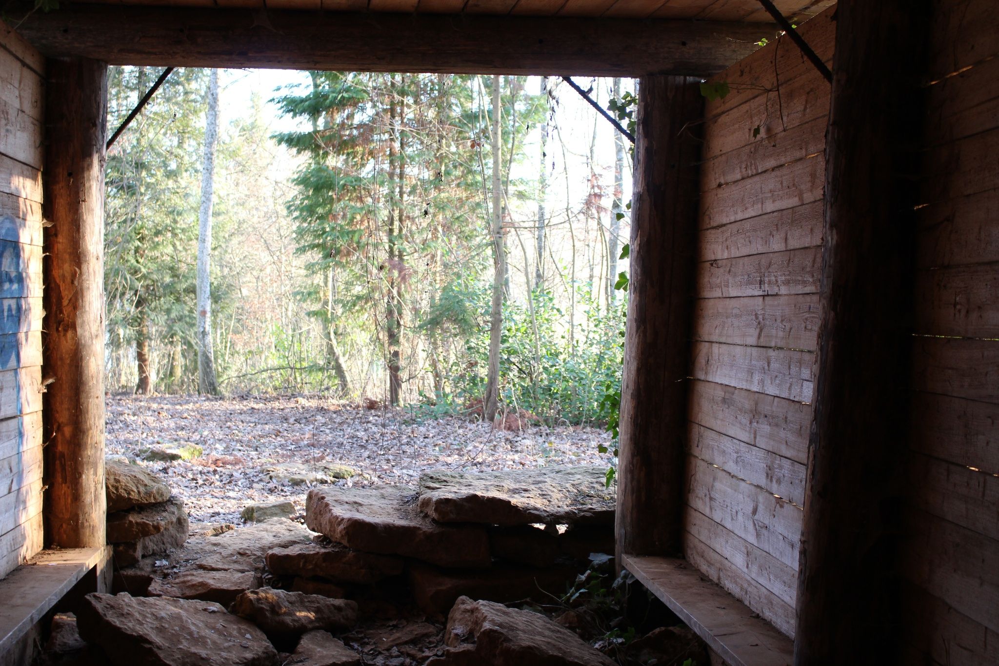
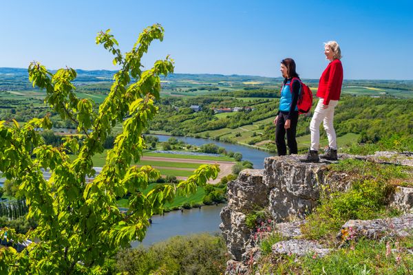
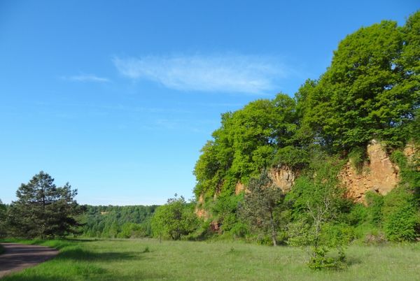
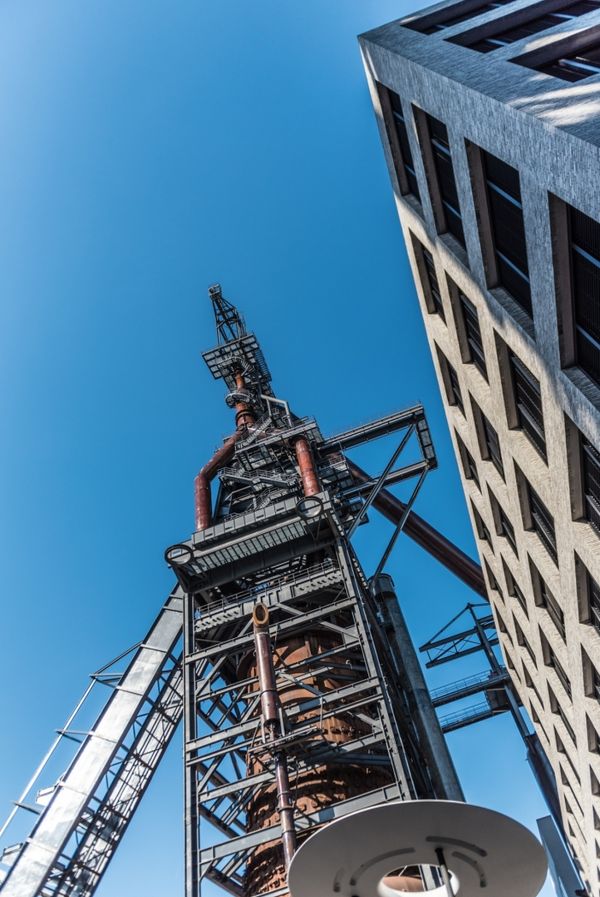
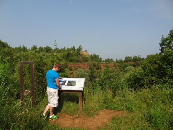
Hike around the former industrial city of Dudelange on the Auto-pédestre trail Dudelange-Ginzebierg.
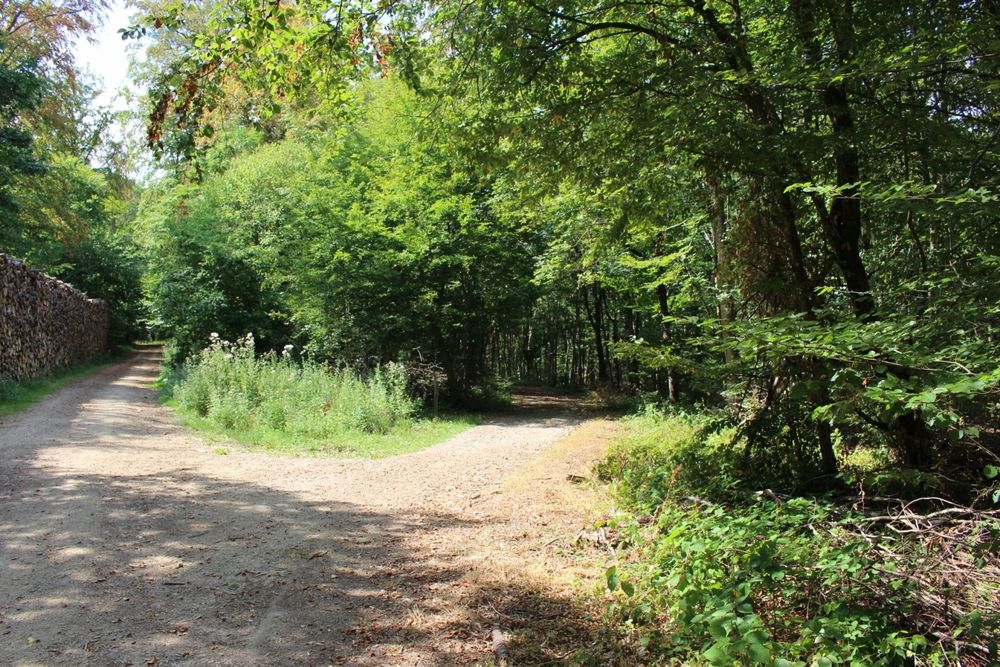
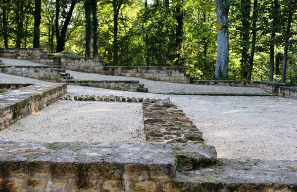
The Auto-Pédestre starts in the forest and does not leave it for the most part, making it a perfect summer hike. As the name "Ginzebierg" suggests, this hiking trail is located on a plateau, which offers great views of France.
Signposting
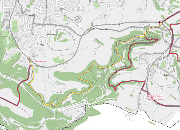
Directions
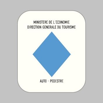
Please follow the signposts with the blue diamond on white background.
Equipment
Please bring enough food and drinking water for the trip
Journey
Parking: Public parking available.


 This website uses technology and content from the Outdooractive Platform.