Circular routes Visit Luxembourg
Description
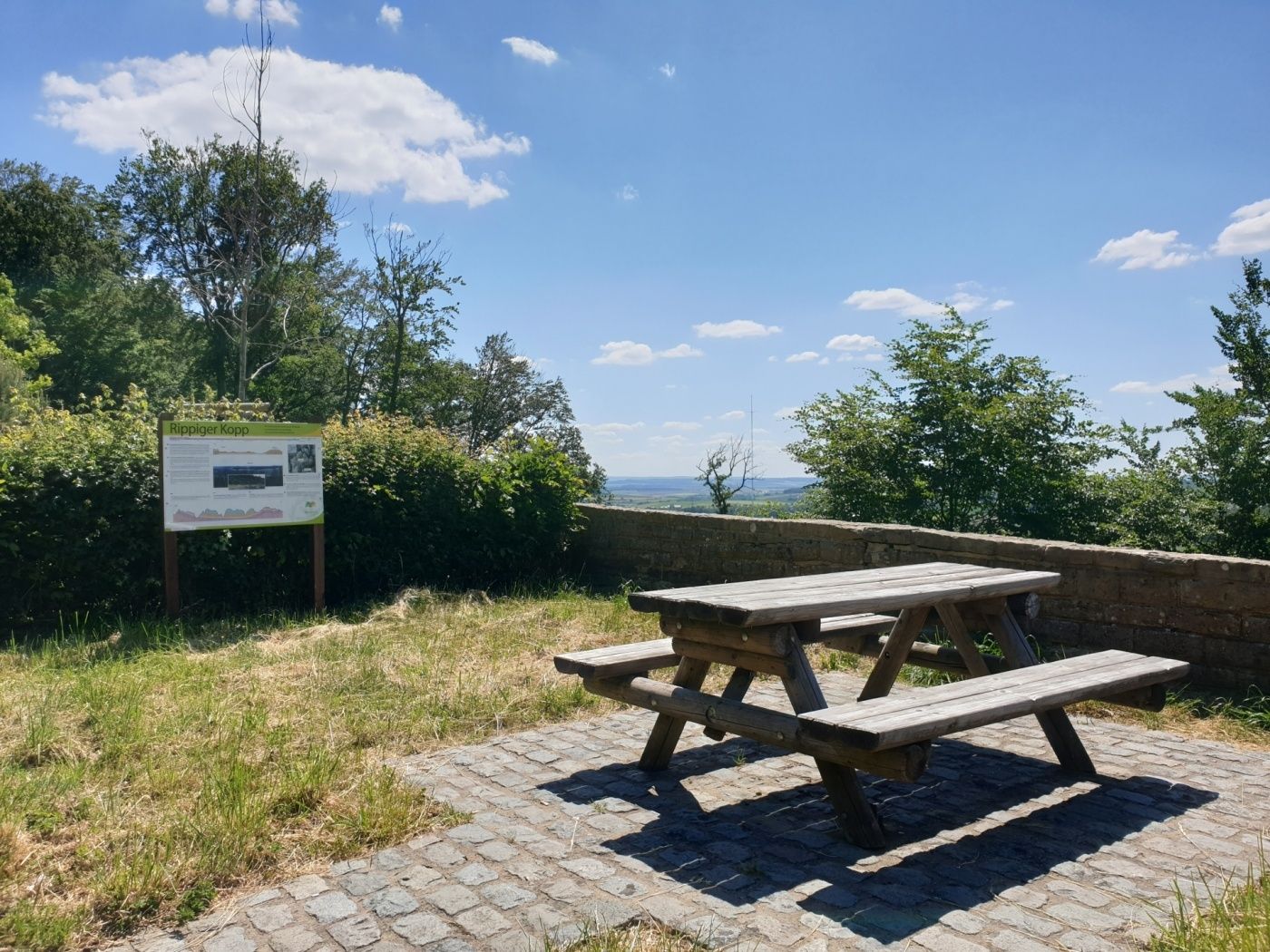
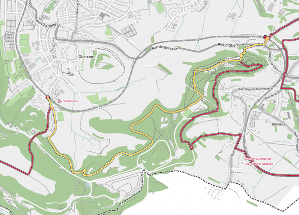
Auto-pédestre trail Altrier
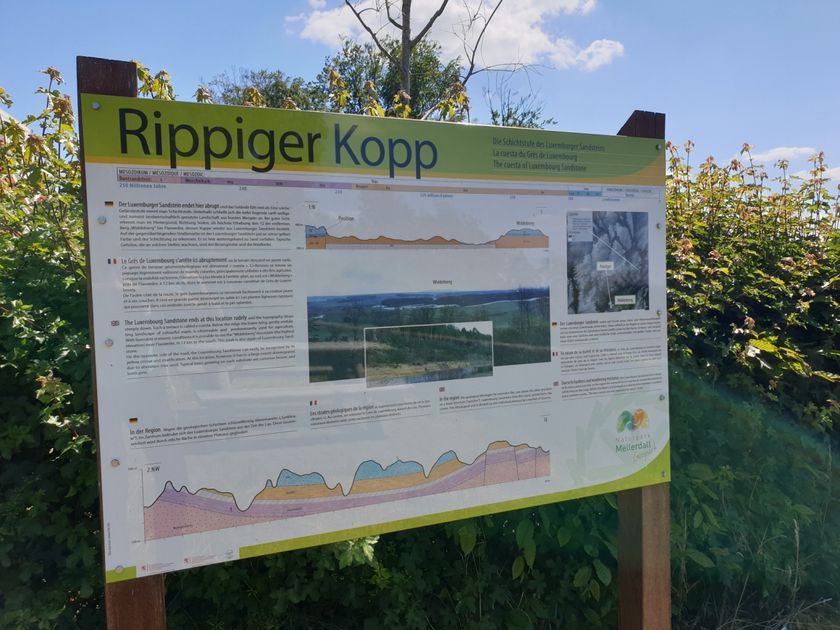
This long path climbs up Bierg before descending in the Gluedbaach valley. It then reaches Kobebour until Kasselt. You head back to your starting point following the Härdbaach, near Hersberg.
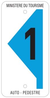
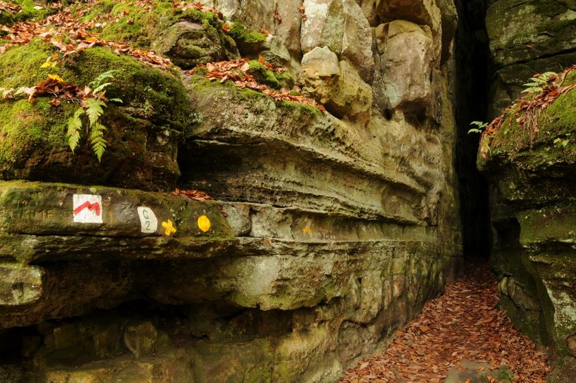
Signposting
Equipment
Sturdy shoes
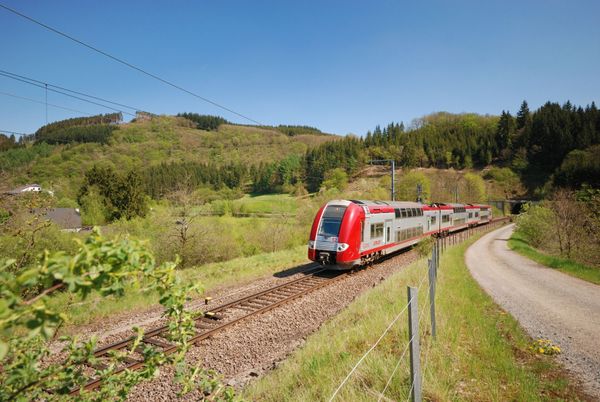
Journey
Public transport: Closest bus stop: Altreier, Op der Schwanz (100 m)
Closest parking lot: Next to the bus stop (100 m)


 This website uses technology and content from the Outdooractive Platform.